ADOPTED BY: INVEST BANK
SECTION 202 :KHIRBET AL-SOUQ TO KING TALAL DAM
-
HIKES IN THE REGION
-
DAY 2: KHIRBET AL-SOUQ TO KING TALAL DAM
-
Distance: 15.1 km
-
Time: 5 to 6 hours
-
Physical Challenge: Difficult
-
Trail Difficulty: Moderate
-
Over All Diffculty: Moderate
-
Waymarked: Yes

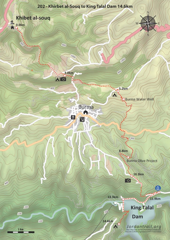
- Route Map
- Google Map
- GPS
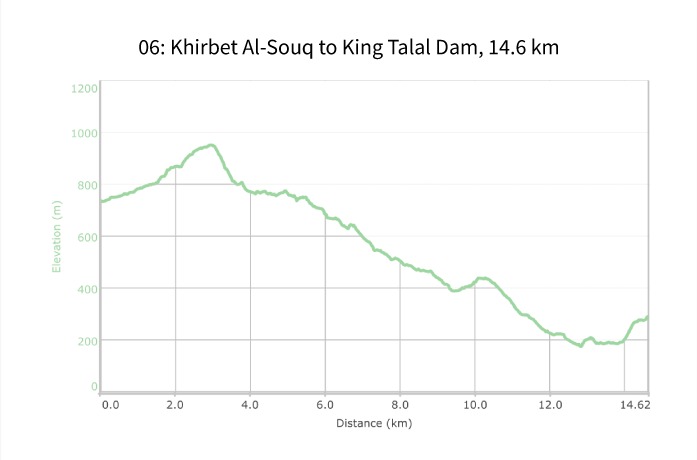
- Elevation Chart
To download the GPS track, Click Icon


The Jordan Trail is a newly established trail, and is not marked. It is therefore our strong recommendation that you hire a local guide for your safety as many sections are remote with limited water sources and at times no connectivity.
By downloading these maps/GPX you take full responsibility for their use and accuracy; Jordan Trail Association does not warrant the accuracy or completeness of the information, materials or the reliability of any maps as they provided AS IS without warranty of any kind, either express or implied, including but not limited to, fitness for a particular purpose, or non-infringement ;You acknowledge that any reliance on any such maps, shall be at your sole risk and responsibility as Hiking, backpacking, and other outdoor activities all have potential hazards involving risk of injury or death. Outdoor activities have inherent risks and you should ensure you have the skill level and abilities suitable for the activities in Jordan to partake in them and to take all precaution measures. Check the data on Google Earth or other Apps or Programs before using them. The Jordan Trail Association shall not be held responsible for any incidents that may occur during your participation in any activity and/or by using any of the maps/GPX.

Click Icon

The Jordan Trail is a newly established trail, and is not marked. It is therefore our strong recommendation that you hire a local guide for your safety as many sections are remote with limited water sources and at times no connectivity.
By downloading these maps/GPX you take full responsibility for their use and accuracy; Jordan Trail Association does not warrant the accuracy or completeness of the information, materials or the reliability of any maps as they provided AS IS without warranty of any kind, either express or implied, including but not limited to, fitness for a particular purpose, or non-infringement ;You acknowledge that any reliance on any such maps, shall be at your sole risk and responsibility as Hiking, backpacking, and other outdoor activities all have potential hazards involving risk of injury or death. Outdoor activities have inherent risks and you should ensure you have the skill level and abilities suitable for the activities in Jordan to partake in them and to take all precaution measures. Check the data on Google Earth or other Apps or Programs before using them. The Jordan Trail Association shall not be held responsible for any incidents that may occur during your participation in any activity and/or by using any of the maps/GPX.

IMPORTANT NUMBERS
Tourism Police:
Hotline: 117777
What’s App: +962770992690
* When contacting Tourism Police for emergency identify that you are hiking the Jordan Trail, state your nationality, location and map name & number.
JTA office: +962 6 461 0999
(Working Hours: 9:00 a.m. to 5:00 p.m., Sunday- Thursday)
BASIC INFO
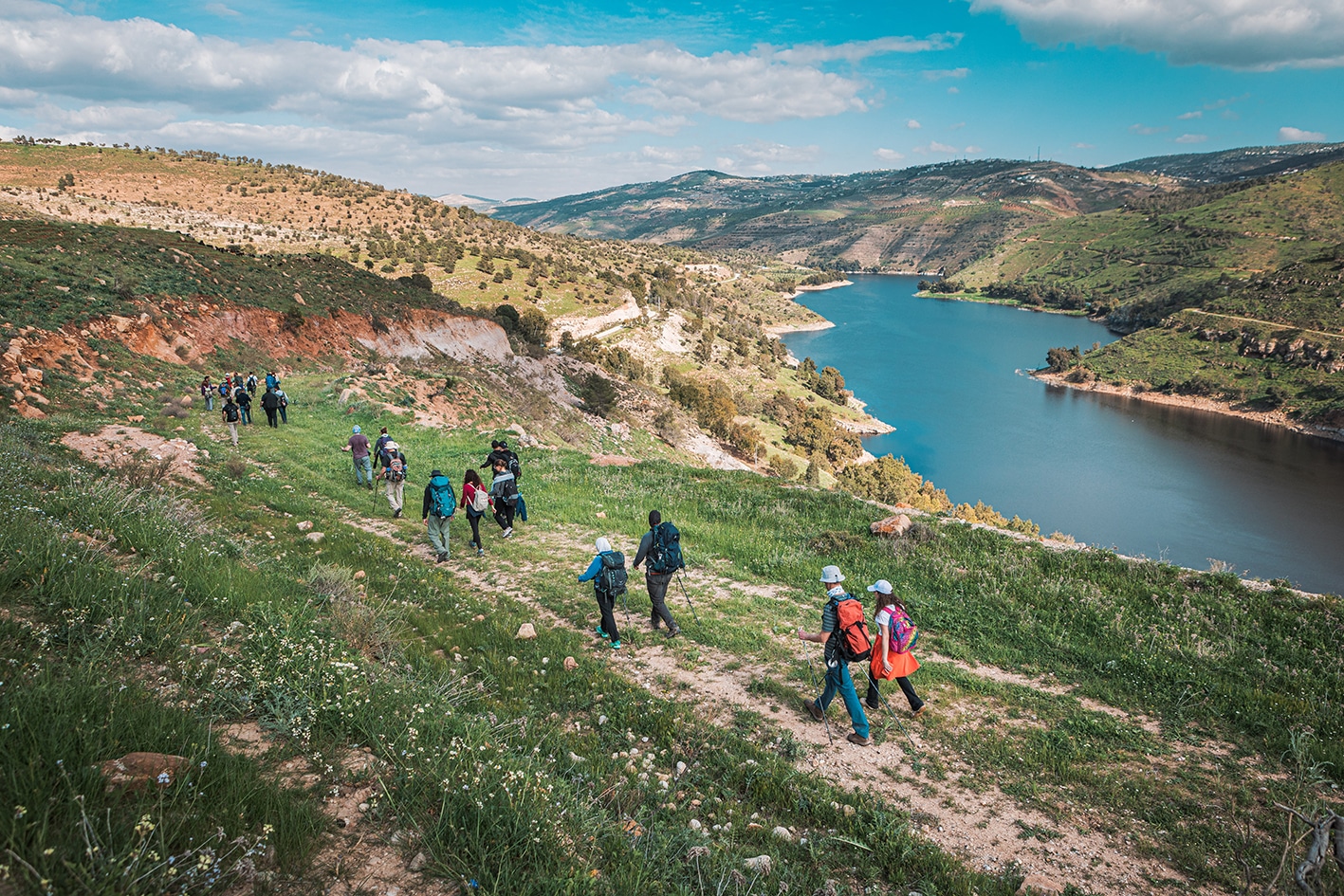
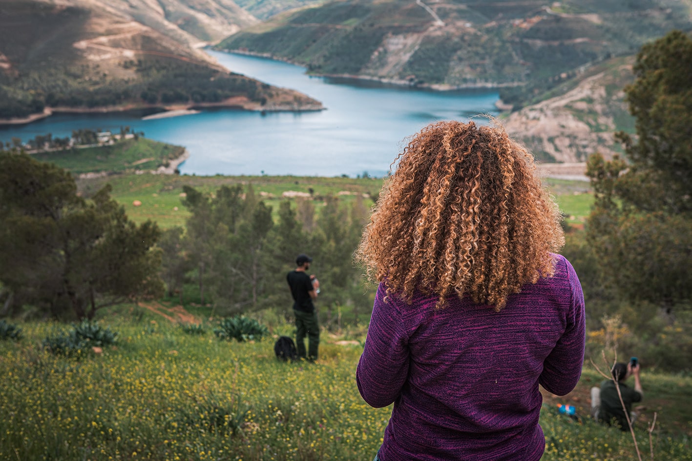
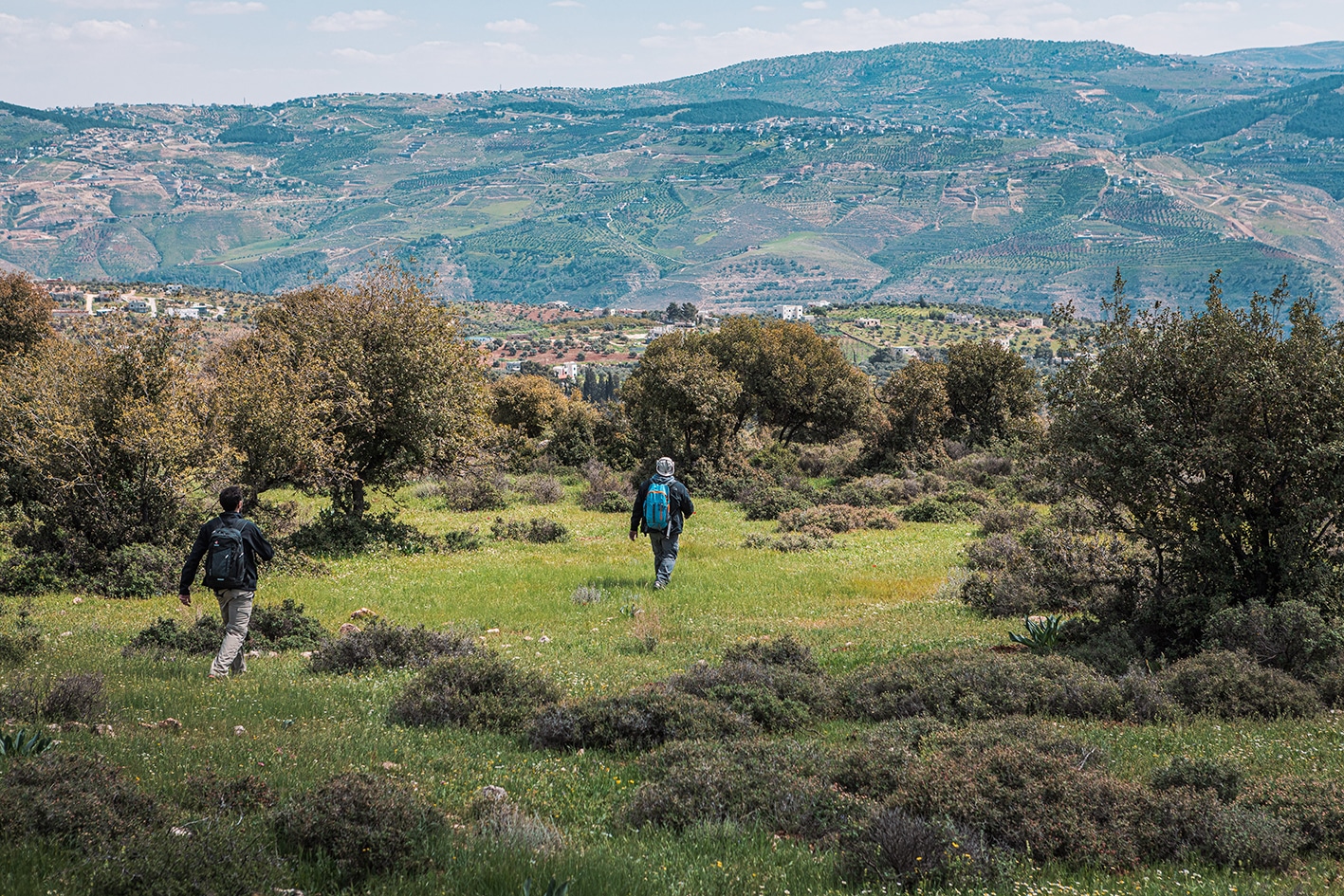
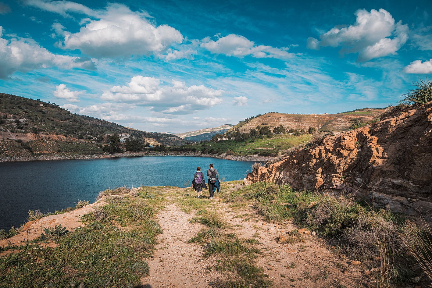
The track heads through a secluded wooded valley onto the crest of the hill with dramatic views over the hillside village of Burma to the King Talal Dam and beyond. Paths then lead down to the east of Burma (shops off route) through old forests and farming areas to the King Talal reservoir and dam.
TRANSPORTATION
- Private taxis
LOCAL CONTACTS / ACCOMMODATION
- Homestay, Mujeer Huwaidi, +962795490396, JT Pass Stamp King Talal Dam
THINGS TO SEE
- Wadi Al-Sham (a nice fresh wadi with lots of trees).
- Burma Village
- King Talal Dam
FOOD & WATER
Food:
- Shop in Burma (off route)
Water:
- Ein Hamed- public spring / water station on way down into Burma (off route)
- Burma village – toilets can be used at mosques (off route)
- Don’t use water from the King Talal Dam reservoir
TIPS & SAFETY
Tips:
- Save some energy for the climb at the end up from the King Talal Dam.
- It’s a short stage, so consider combining with the next all the way to Rmeimeen if you’re up for the distance.
- Hikers have reported feeling uncomfortable with attention received in the village of Burma
Safety Info:
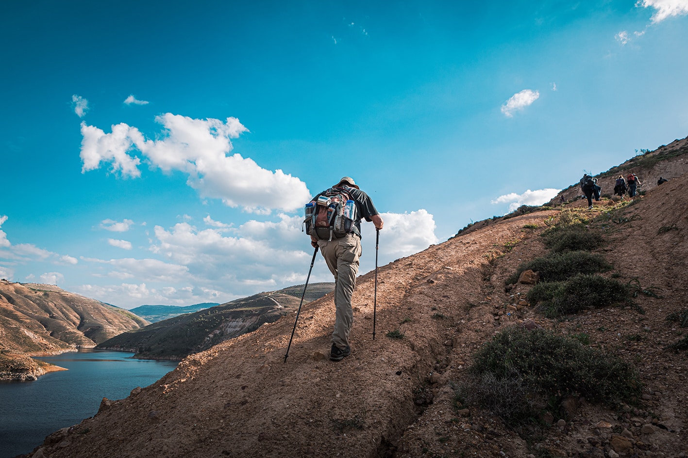
- Loose footing – Footing can be loose when coming downhill from Harrawtha off trail, and for a short section before the dam.
- Access – It is officially permitted for Jordan Trail hikers to cross the dam.
- Burma- This village is not known to have a great reputation, and hikers have received some hassle from kids/boys through town, who do not seem used to seeing hikers come through.


