Search
Close this search box.

SECTION 4041 :MUMEYA SIDE TRAIL

  • HIKES IN THE REGION

  • MUMEYA SIDE TRAIL

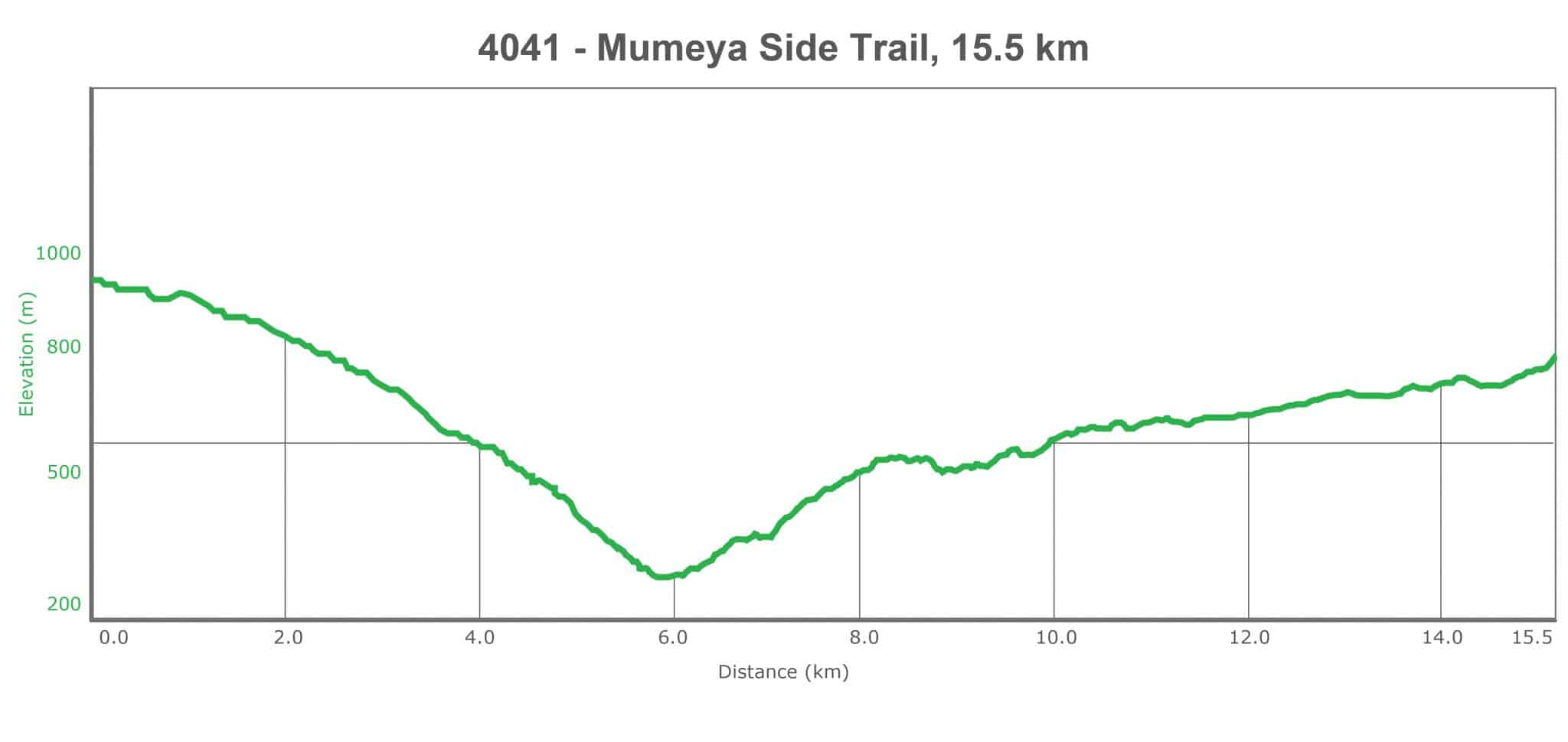
  • Distance: 15.5 km

  • Time: 5 hours

  • Physical Challenge: Moderate

  • Trail Challenge: Moderate

  • Waymarked: Yes

To download the Jordan Trail GPS tracks, click here

The Jordan Trail is a newly established trail, and is not marked. It is therefore our strong recommendation that you hire a local guide for your safety as many sections are remote with limited water sources and at times no connectivity.
By downloading these maps/GPX you take full responsibility for their use and accuracy; Jordan Trail Association does not warrant the accuracy or completeness of the information, materials or the reliability of any maps as they provided AS IS without warranty of any kind, either express or implied, including but not limited to, fitness for a particular purpose, or non-infringement ;You acknowledge that any reliance on any such maps, shall be at your sole risk and responsibility as Hiking, backpacking, and other outdoor activities all have potential hazards involving risk of injury or death. Outdoor activities have inherent risks and you should ensure you have the skill level and abilities suitable for the activities in Jordan to partake in them and to take all precaution measures.  Check the data on Google Earth or other Apps or Programs before using them.  The Jordan Trail Association shall not be held responsible for any incidents that may occur during your participation in any activity and/or by using any of the maps/GPX.
AGREE
close-link

Click icon

FEATURED DOWNLOAD –
The Jordan Trail is a newly established trail, and is not marked. It is therefore our strong recommendation that you hire a local guide for your safety as many sections are remote with limited water sources and at times no connectivity.
AGREE
close-link
to download the map
IMPORTANT NUMBERS

Tourism Police:

Hotline: 117777
What’s App: +962 7 7099 1814

* When contacting Tourism Police for emergency identify that you are hiking the Jordan Trail, state your nationality, location and map name & number.


JTA office: +962 6 461 0999

(Working Hours: 9:00 a.m. to 5:00 p.m., Sunday- Thursday)

BASIC INFO

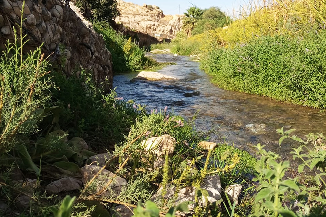
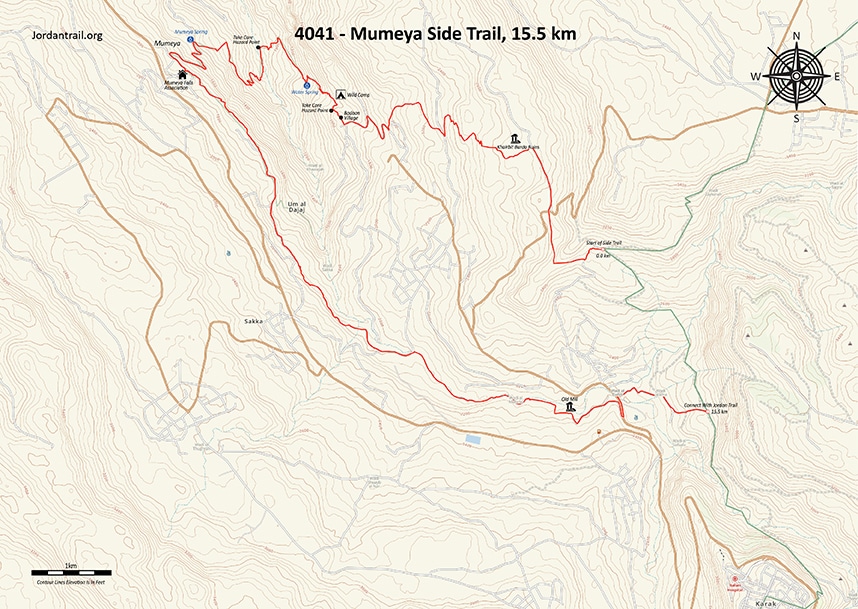
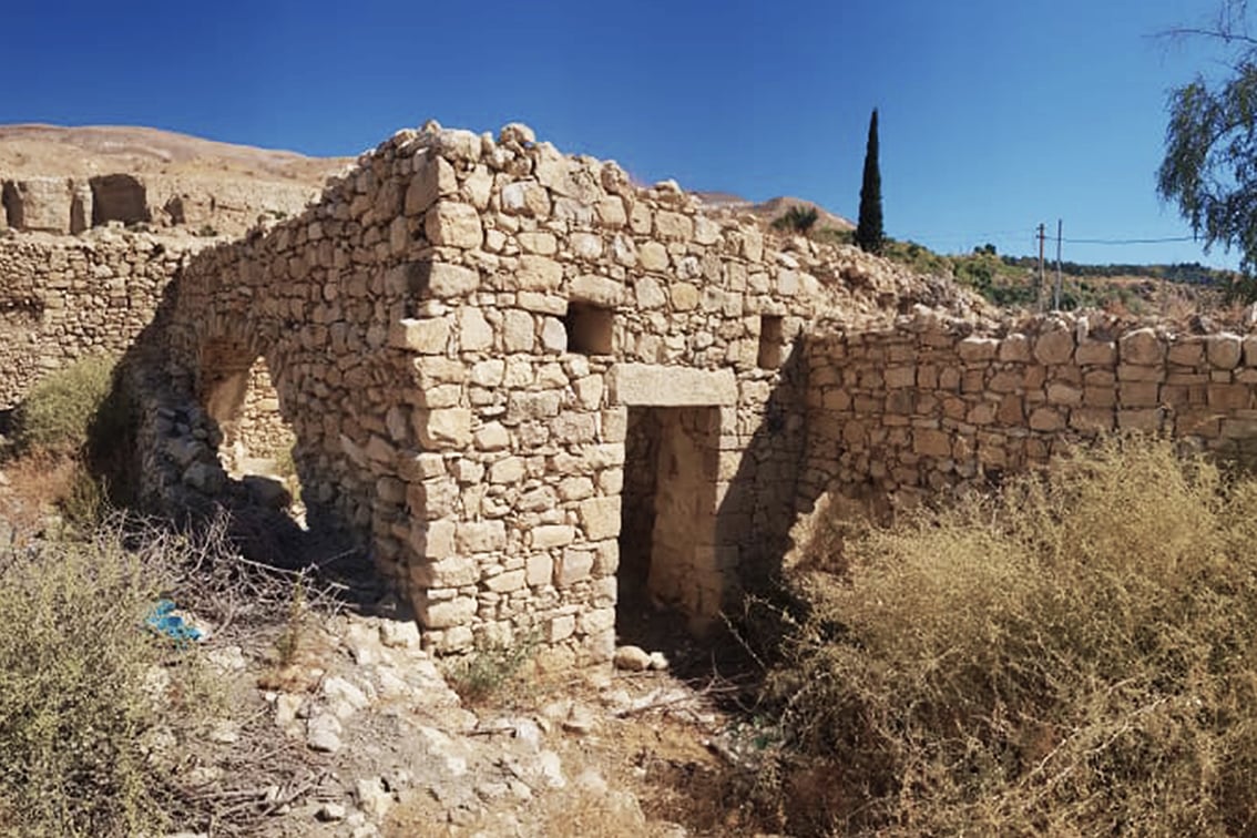
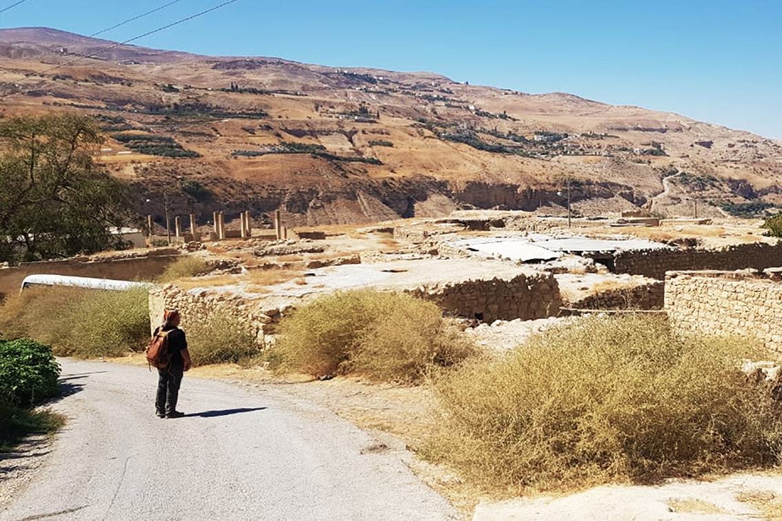
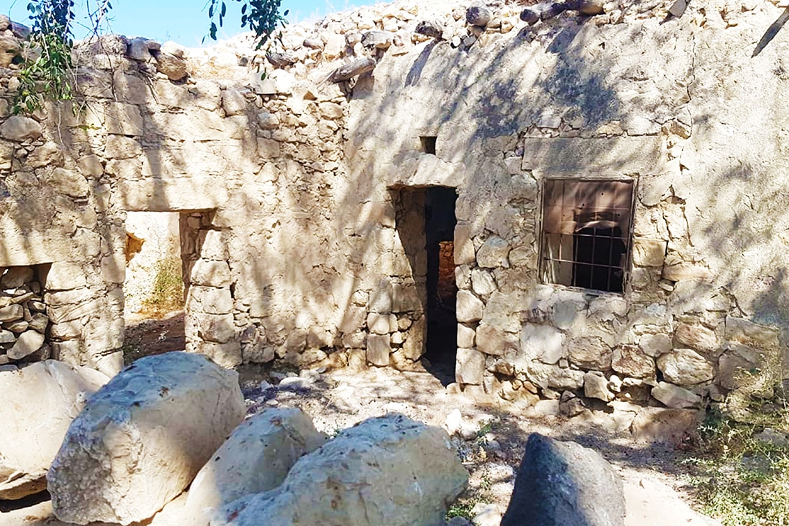
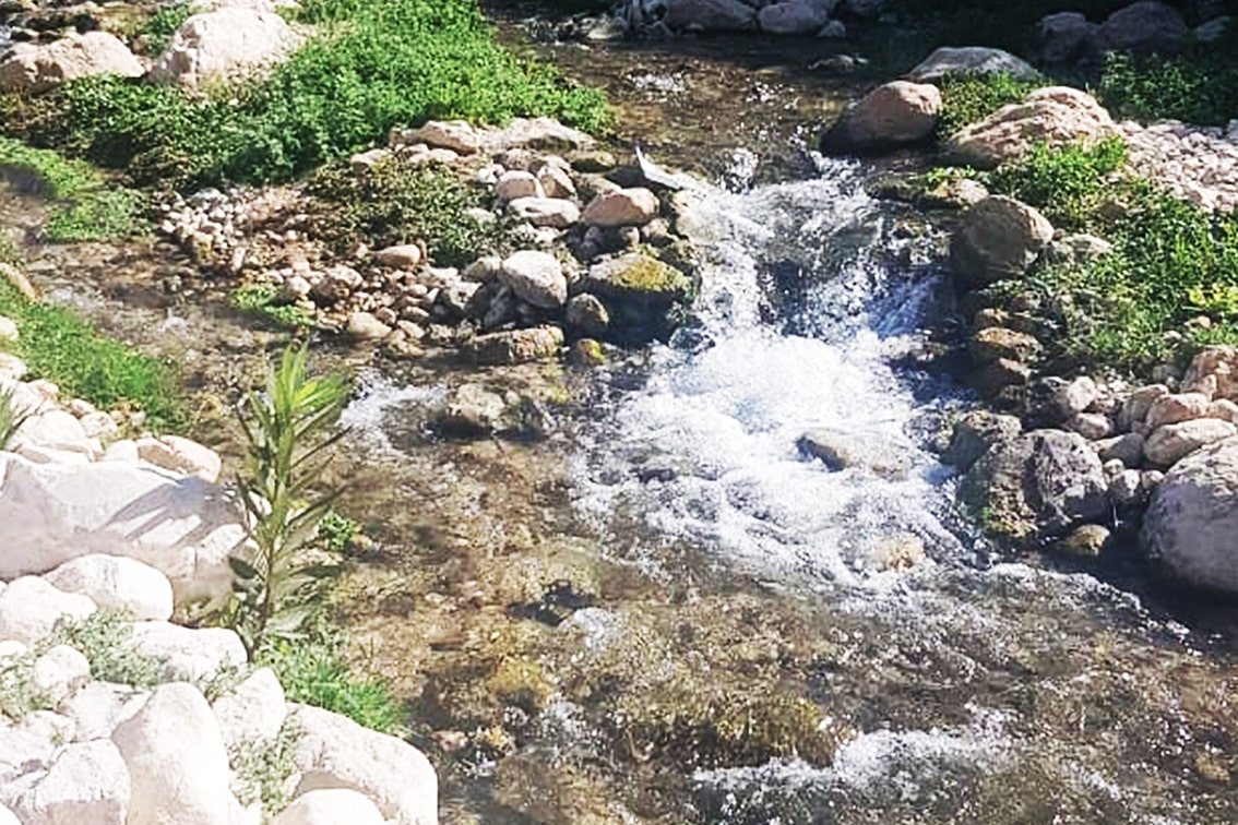
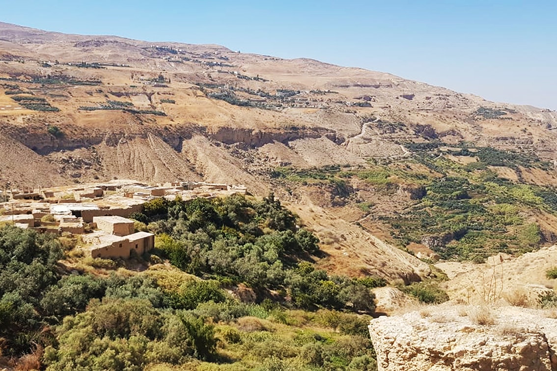
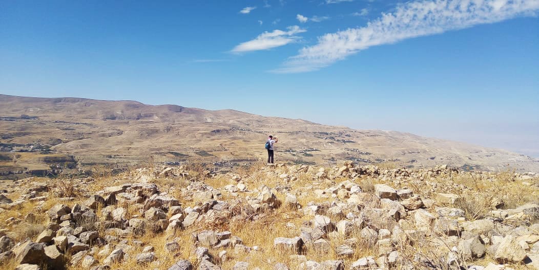
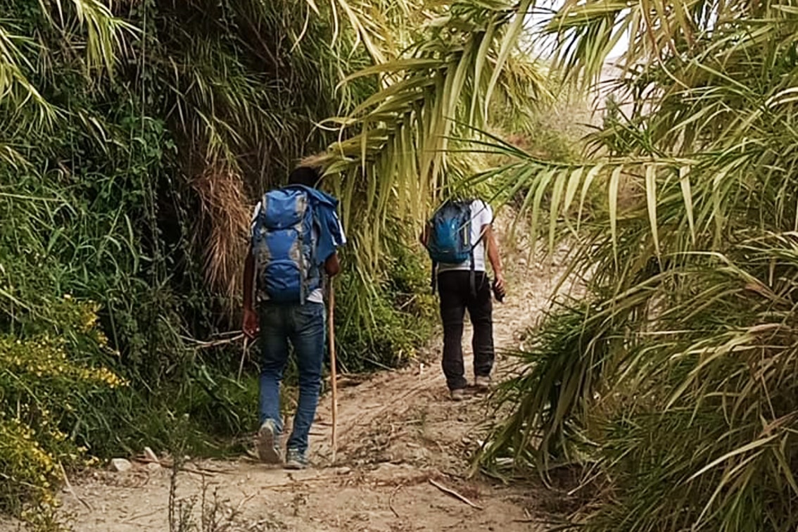
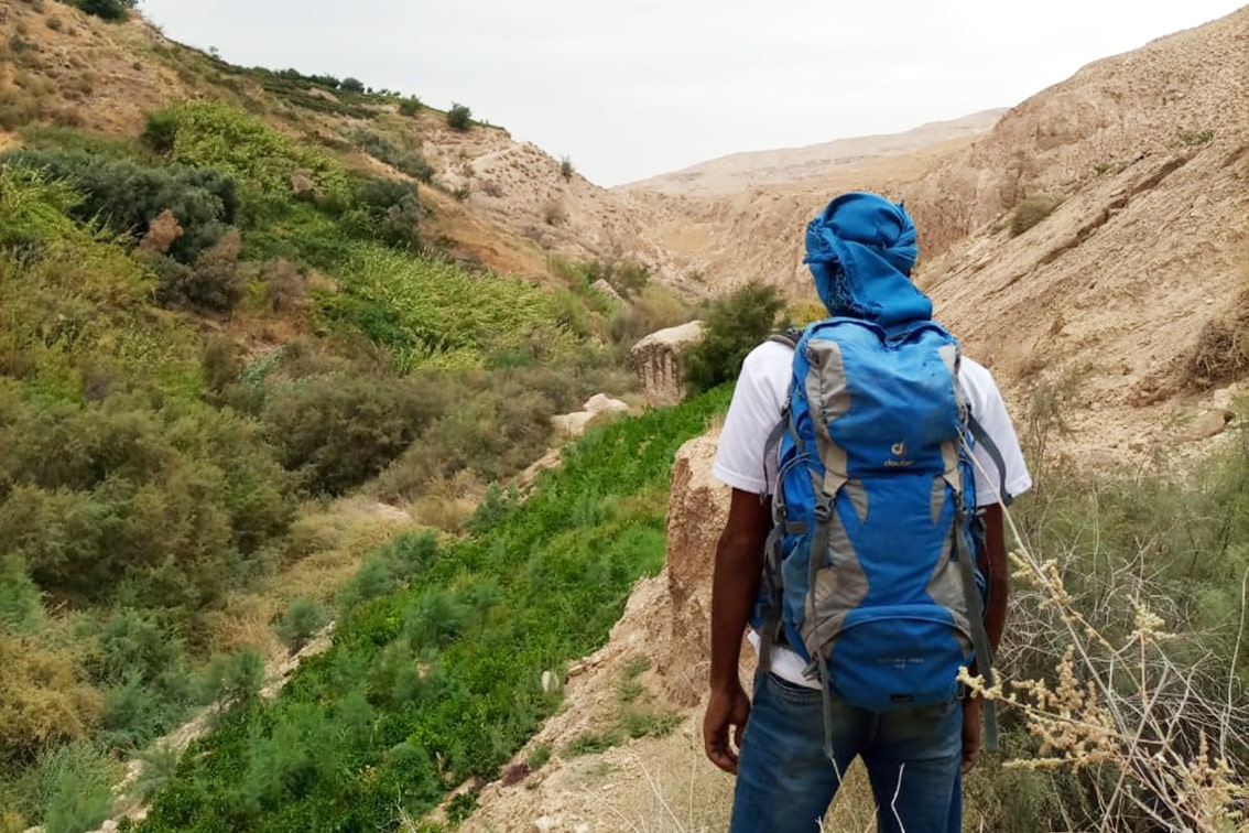
Reaching the village of Rakin (shops and café). A track then descends pleasantly into Wadi Tawaheen on kilometer 16 on section Majdaleen to Karak, you reach a sharp curve where the side trail of Mumia starts. A short hike in the nearby filed and you hit the dirt road following it till you reach on the left side the Ruins of Barada. Start descending to the valley following the way marks till you reach the village of Baddan, a typical example of the old villages in the times of the Ottomans, walk through its old pathways till the end to start descending to reach the waterfall and spring of Baddan. Continue descending till you hit the waters of Wadi Al Karak. Follow the way marks up till you reach the paved road which leads to Mumia main spring (a road that passes local farms), reaching the village of Mumia Falls (accommodation in the old renovated village). Continue on the ledges of the valley passing local farms and plantations till you hike inside the valley of Karak reaching the Springs of Sarah and the Ottoman old water mills. Then start ascending to reach the end of the side trail linking with the Jordan Trail.

TRANSPORTATION
  • Buses depart from the Amman’s south bus station (Mu’ta university) to Karak. Minibuses leave from east side of Karak’s old city to bus station (head in south-bound direction)
  • From Karak, take a taxi or a local transport minibus to Rakin Village
LOCAL CONTACTS / ACCOMMODATIONS

Mumia

  • Mumia Falls Association: Mr. Rami Jaafreh +962 79530 6044


Karak

  • Beit Al Jameed: Mrs. Amani Bashabshe +962 77203 4933
  • Cairwan Hotel, $, 962-3-2396022, Booking.com, wifi, parking, meals, bike rental
  • Falcon Rock Hotel has restaurant near castle entrance with 12JD lunch buffet
  • Al Mujeb, $, (0) 3 2386090, 4 miles south of Karak, wifi, laundry, meals, inconvenient location
  • Towers Castle Hotel, $, (0)3 235 4293, poor reviews
THINGS TO SEE
  • Rakin Village
  • Barada Ruins.
  • Baddan old Village
  • Karak Vally
  • Mumia Spring and Mumia Falls Village
  • The Spring of Sara
FOOD & WATER

Food:

  • Shops and restaurants sell food in Rakin, Mumia and Karak).

Water:

  • Water is available at villages.
  • At the spring just below Baddan village, and many springs on the way and the valley of Karak it is Highly recommended to filter and purify the water before consumption.
TIPS & SAFETY

Tips:

  • After the village of Rakin, the path descends on 4×4 down into then turn right on the sharp corner which will lead to another 4x4 road. After the Ruins of Barada the path becomes steep at this stage till reaching another 4x4 going down to reach the paved road leading to Baddan. After crossing Baddan you start a very steep downhill path (extra care is needed) till reaching the water fall of Baddan. One section of the footpath before reaching Karak Vally a sketchy section with loose footing. This section is washed out and exposed, and will probably erode more.


Safety Info:

  • Exposed edges – On the final descend to Karak Vallay, some of the trails are very steep
  • Flash flood dangers – crossing Wadi Karak
  • Loose footing – Footing is loose at exposed section near the dry waterfalls and descends before Karak Valley


The Jordan Trail is a newly established trail, and is not marked. It is therefore our strong recommendation that you hire a local guide for your safety as many sections are remote with limited water sources and at times no connectivity.
By downloading these maps/GPX you take full responsibility for their use and accuracy; Jordan Trail Association does not warrant the accuracy or completeness of the information, materials or the reliability of any maps as they provided AS IS without warranty of any kind, either express or implied, including but not limited to, fitness for a particular purpose, or non-infringement ;You acknowledge that any reliance on any such maps, shall be at your sole risk and responsibility as Hiking, backpacking, and other outdoor activities all have potential hazards involving risk of injury or death. Outdoor activities have inherent risks and you should ensure you have the skill level and abilities suitable for the activities in Jordan to partake in them and to take all precaution measures.  Check the data on Google Earth or other Apps or Programs before using them.  The Jordan Trail Association shall not be held responsible for any incidents that may occur during your participation in any activity and/or by using any of the maps/GPX.
AGREE
close-link

FEATURED DOWNLOAD -
The Jordan Trail is a newly established trail, and is not marked. It is therefore our strong recommendation that you hire a local guide for your safety as many sections are remote with limited water sources and at times no connectivity.
AGREE
close-link