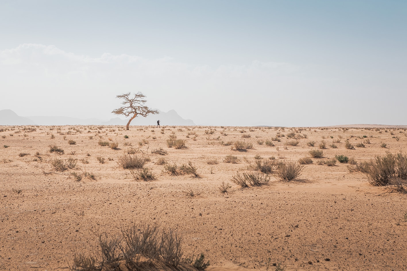
SECTION 801: Al-HUMEIMA TO JABAL KHARAZEH

  • HIKES IN THE REGION

  • DAY 1 : Al-HUMEIMA TO JABAL KHARAZEH

  • Distance: 19 km

  • Time: 6 hours

  • Physical Challenge: Moderate

  • Trail Challenge: Moderate

  • Waymarked: No

To download the GPS tracks, click here

The Jordan Trail is a newly established trail, and is not marked. It is therefore our strong recommendation that you hire a local guide for your safety as many sections are remote with limited water sources and at times no connectivity.
By downloading these maps/GPX you take full responsibility for their use and accuracy; Jordan Trail Association does not warrant the accuracy or completeness of the information, materials or the reliability of any maps as they provided AS IS without warranty of any kind, either express or implied, including but not limited to, fitness for a particular purpose, or non-infringement ;You acknowledge that any reliance on any such maps, shall be at your sole risk and responsibility as Hiking, backpacking, and other outdoor activities all have potential hazards involving risk of injury or death. Outdoor activities have inherent risks and you should ensure you have the skill level and abilities suitable for the activities in Jordan to partake in them and to take all precaution measures.  Check the data on Google Earth or other Apps or Programs before using them.  The Jordan Trail Association shall not be held responsible for any incidents that may occur during your participation in any activity and/or by using any of the maps/GPX.
AGREE
close-link

Click Icon

The Jordan Trail is a newly established trail, and is not marked. It is therefore our strong recommendation that you hire a local guide for your safety as many sections are remote with limited water sources and at times no connectivity.
By downloading these maps/GPX you take full responsibility for their use and accuracy; Jordan Trail Association does not warrant the accuracy or completeness of the information, materials or the reliability of any maps as they provided AS IS without warranty of any kind, either express or implied, including but not limited to, fitness for a particular purpose, or non-infringement ;You acknowledge that any reliance on any such maps, shall be at your sole risk and responsibility as Hiking, backpacking, and other outdoor activities all have potential hazards involving risk of injury or death. Outdoor activities have inherent risks and you should ensure you have the skill level and abilities suitable for the activities in Jordan to partake in them and to take all precaution measures.  Check the data on Google Earth or other Apps or Programs before using them.  The Jordan Trail Association shall not be held responsible for any incidents that may occur during your participation in any activity and/or by using any of the maps/GPX.
AGREE
close-link
to download the map
IMPORTANT NUMBERS

Tourism Police:

Hotline: 117777
What’s App: +962 7 7099 1814

* When contacting Tourism Police for emergency identify that you are hiking the Jordan Trail, state your nationality, location and map name & number.


JTA office: +962 6 461 0999

(Working Hours: 9:00 a.m. to 5:00 p.m., Sunday- Thursday)

BASIC INFO

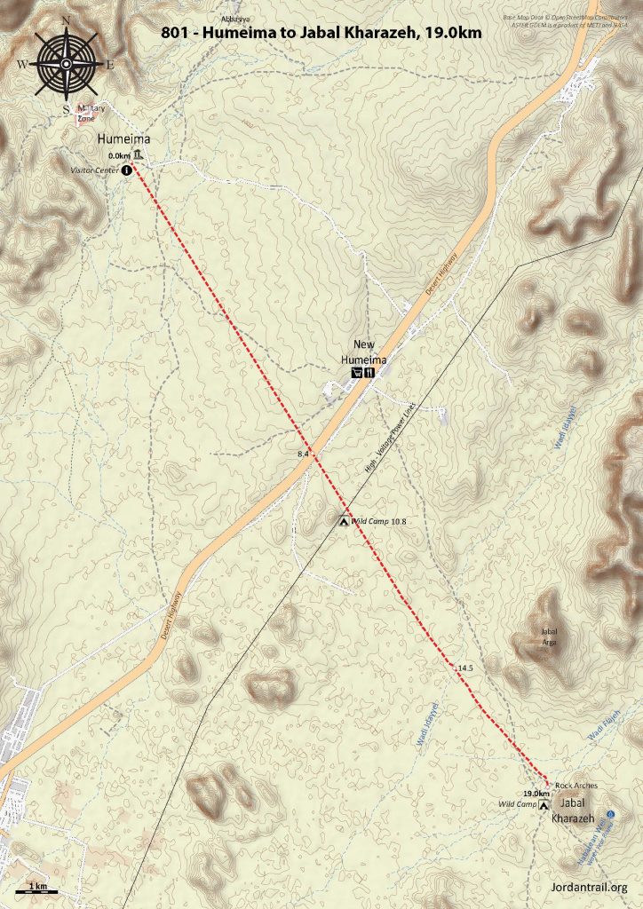
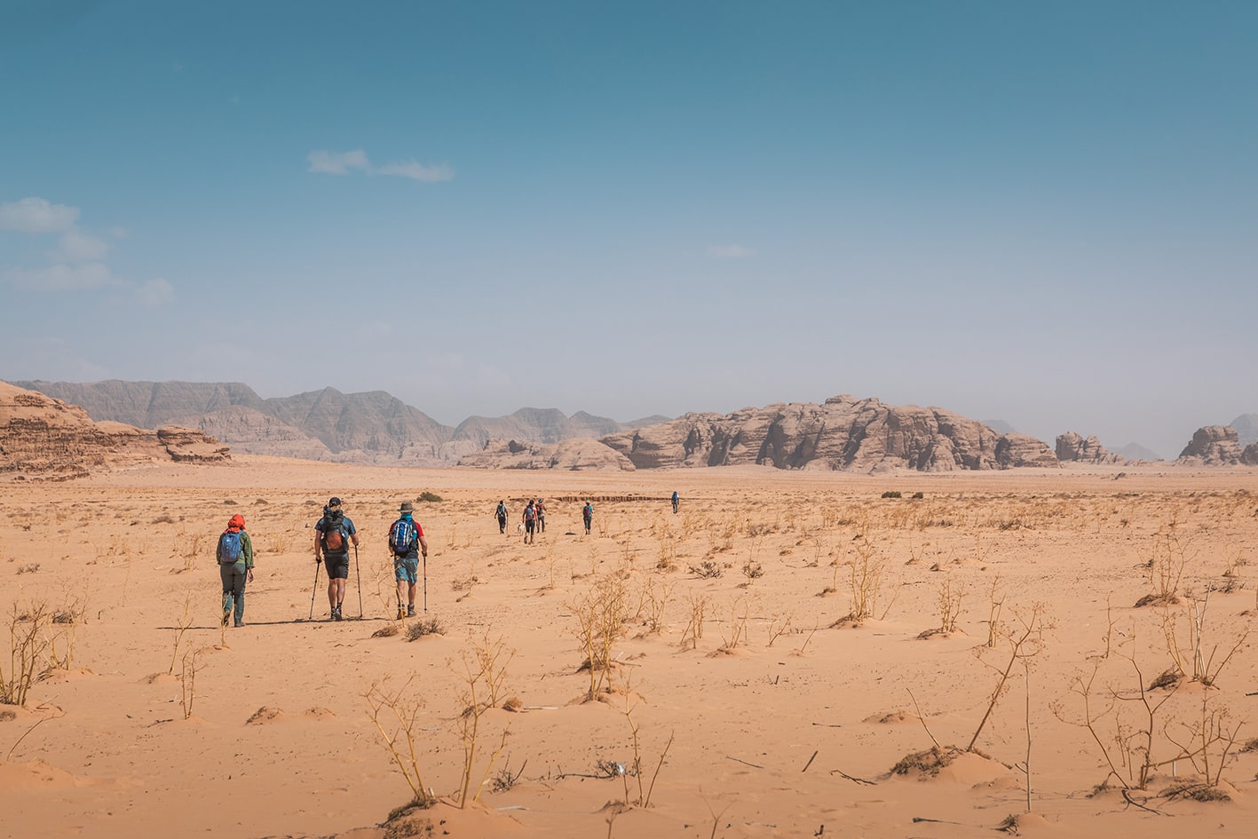
From the Humeima ruins, you can either head straight for the day’s destination, Jabal Kharazeh, or route through Humeima village along the highway to restock on supplies. If heading to the villages, follow the road back to the town of New Humeima on the Desert Highway. From here, head southeast at a bearing of roughly 160 degrees, walking on the best surface you are able to find towards Jabal Kharazeh.

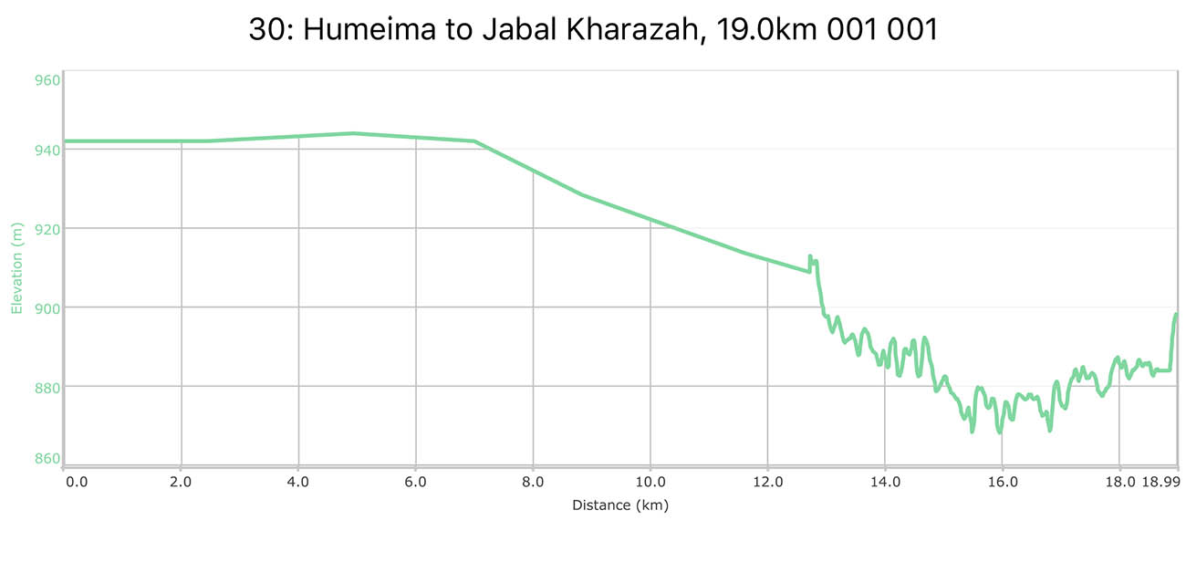
If heading straight to Jabal Kharazeh from Humeima ruins, head straight at roughly 145 degrees across open country, crossing the desert highway at 8.4km, then continuing straight on the same bearing.

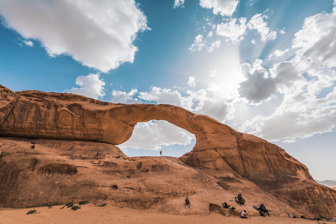
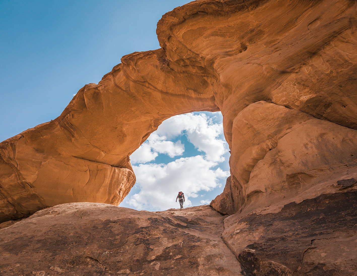
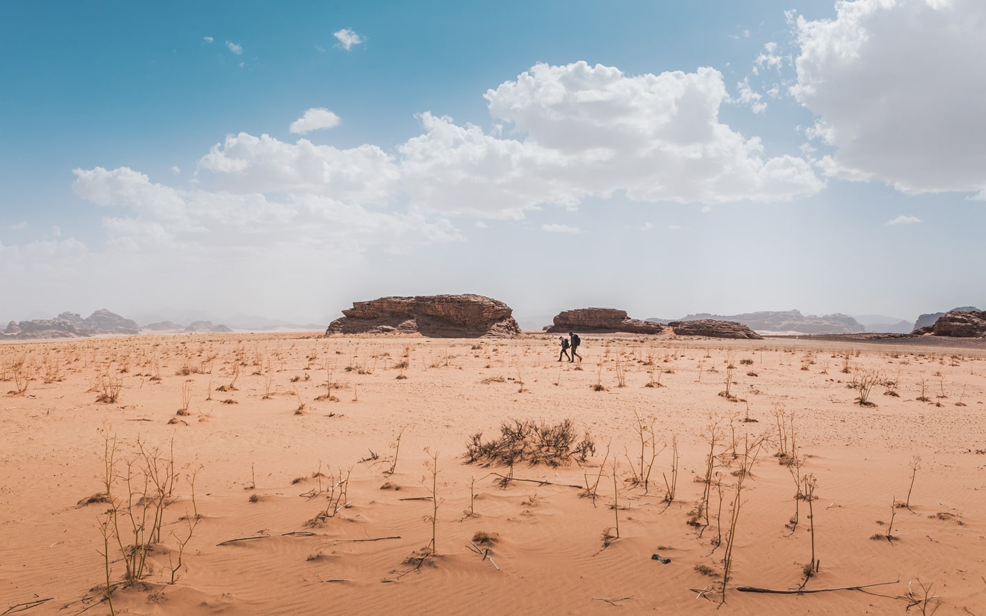
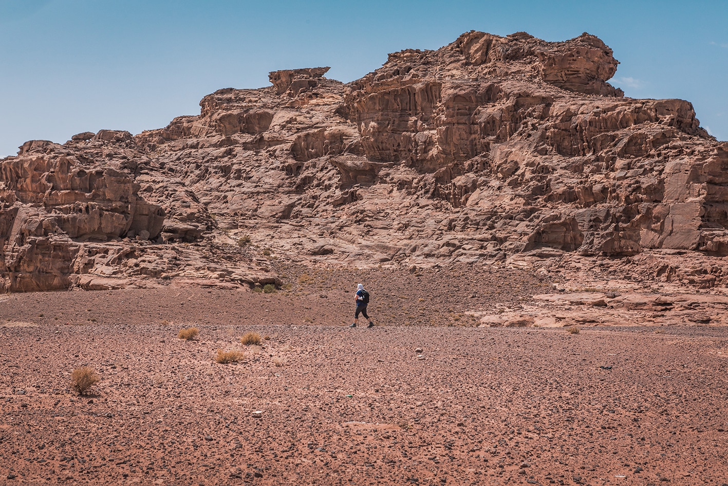
Cross over the shallow sandy Wadi Jdayyel, and see the large Jabal Arga on your left. Head towards Jabal Kharazeh with a huge sandstone arch visible in the middle of the mountain, and cross Wadi Flajeh just before the mountain. A Nabatean cistern is on the backside of the second hill of Jabal Kharazeh, with water year round (off route 2-3km).

TRANSPORTATION

New Humeima is on desert highway, with local busses passing the route.

LOCAL CONTACTS / ACCOMMODATION
  • Wild camping, Yousef Al Mousah, +962777283309, JT Pass Stamps Jabal Kharazah and Al Humeima
  • Wild camping, Abu Luay Nawafleh, +962772177133 
THINGS TO SEE
  • Rum Area Geology
  • Jabal Kharazeh
  • Nabatean Well
FOOD & WATER

Food:

  • Humeima village has shops.

Water:

  • Humeima village, not at ruins
  • Old cistern off-route on the back side of second Kharazeh mountain
TIPS & SAFETY

Tips:

  • If your water plan relies on the Nabatean cistern on the backside of Jabal Kharazeh, be sure to confirm with locals that water is present and you are confident to get there.
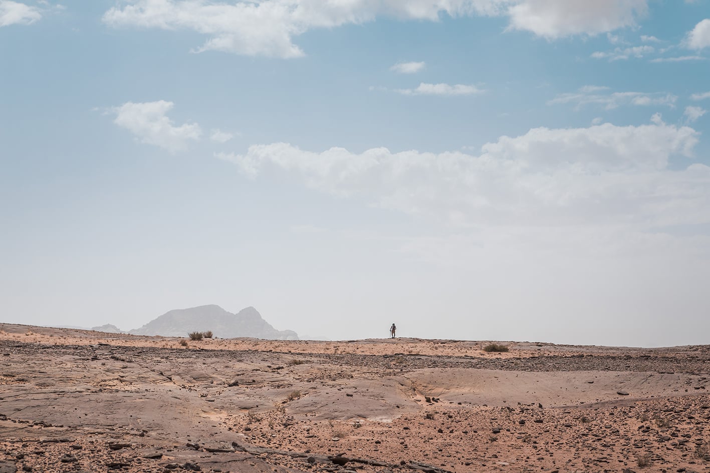
  • This day stage is an entirely new landscape where navigation requires different way of thinking, as there are few landmarks directly on the trail. Pay  attention to your compass or GPS’s degree bearing and your location relative to distinct mountain shapes on the topographic maps. It is best to follow straight lines to known bearing or landmark in distance after confirming it as your destination based on your compass or GPS bearing.
  • Much of your effort will depend on the firmness of the sand and the weather. This route is very hot in the sun and in the summer. If it has been raining recently, the sand is harder and easier to walk in.

Safety Info:

  • Loose footing – Walking in sand is tiring, but not dangerous.
  • Dehydration/heat exhaustion – Almost all the way is in the sun, but shade near mountains exists throughout most of the day.
  • Military base – Base present near Humeima ruins at start of day stage. Good to have ID ready in case curious soldiers come for a visit.

The Jordan Trail is a newly established trail, and is not marked. It is therefore our strong recommendation that you hire a local guide for your safety as many sections are remote with limited water sources and at times no connectivity.
By downloading these maps/GPX you take full responsibility for their use and accuracy; Jordan Trail Association does not warrant the accuracy or completeness of the information, materials or the reliability of any maps as they provided AS IS without warranty of any kind, either express or implied, including but not limited to, fitness for a particular purpose, or non-infringement ;You acknowledge that any reliance on any such maps, shall be at your sole risk and responsibility as Hiking, backpacking, and other outdoor activities all have potential hazards involving risk of injury or death. Outdoor activities have inherent risks and you should ensure you have the skill level and abilities suitable for the activities in Jordan to partake in them and to take all precaution measures.  Check the data on Google Earth or other Apps or Programs before using them.  The Jordan Trail Association shall not be held responsible for any incidents that may occur during your participation in any activity and/or by using any of the maps/GPX.
AGREE
close-link