SECTION 806 : FINAL CAMP TO AQABA

  • HIKES IN THE REGION

  • DAY 6: FINAL CAMP TO AQABA

  • Distance: 18.4 km

  • Time: 5 - 7 hours

  • Physical Challenge: Difficult

  • Trail Challenge: Difficult

  • Waymarked: No

To download the GPS track, click icon  

The Jordan Trail is a newly established trail, and is not marked. It is therefore our strong recommendation that you hire a local guide for your safety as many sections are remote with limited water sources and at times no connectivity.
By downloading these maps/GPX you take full responsibility for their use and accuracy; Jordan Trail Association does not warrant the accuracy or completeness of the information, materials or the reliability of any maps as they provided AS IS without warranty of any kind, either express or implied, including but not limited to, fitness for a particular purpose, or non-infringement ;You acknowledge that any reliance on any such maps, shall be at your sole risk and responsibility as Hiking, backpacking, and other outdoor activities all have potential hazards involving risk of injury or death. Outdoor activities have inherent risks and you should ensure you have the skill level and abilities suitable for the activities in Jordan to partake in them and to take all precaution measures.  Check the data on Google Earth or other Apps or Programs before using them.  The Jordan Trail Association shall not be held responsible for any incidents that may occur during your participation in any activity and/or by using any of the maps/GPX.
AGREE
close-link

Click Icon

The Jordan Trail is a newly established trail, and is not marked. It is therefore our strong recommendation that you hire a local guide for your safety as many sections are remote with limited water sources and at times no connectivity.
By downloading these maps/GPX you take full responsibility for their use and accuracy; Jordan Trail Association does not warrant the accuracy or completeness of the information, materials or the reliability of any maps as they provided AS IS without warranty of any kind, either express or implied, including but not limited to, fitness for a particular purpose, or non-infringement ;You acknowledge that any reliance on any such maps, shall be at your sole risk and responsibility as Hiking, backpacking, and other outdoor activities all have potential hazards involving risk of injury or death. Outdoor activities have inherent risks and you should ensure you have the skill level and abilities suitable for the activities in Jordan to partake in them and to take all precaution measures.  Check the data on Google Earth or other Apps or Programs before using them.  The Jordan Trail Association shall not be held responsible for any incidents that may occur during your participation in any activity and/or by using any of the maps/GPX.
AGREE
close-link
to download the map
IMPORTANT NUMBERS

Tourism Police:

Hotline: 117777
What’s App: +962 7 7099 1814

* When contacting Tourism Police for emergency identify that you are hiking the Jordan Trail, state your nationality, location and map name & number.


JTA office: +962 6 461 0999

(Working Hours: 9:00 a.m. to 5:00 p.m., Sunday- Thursday)


BASIC INFO
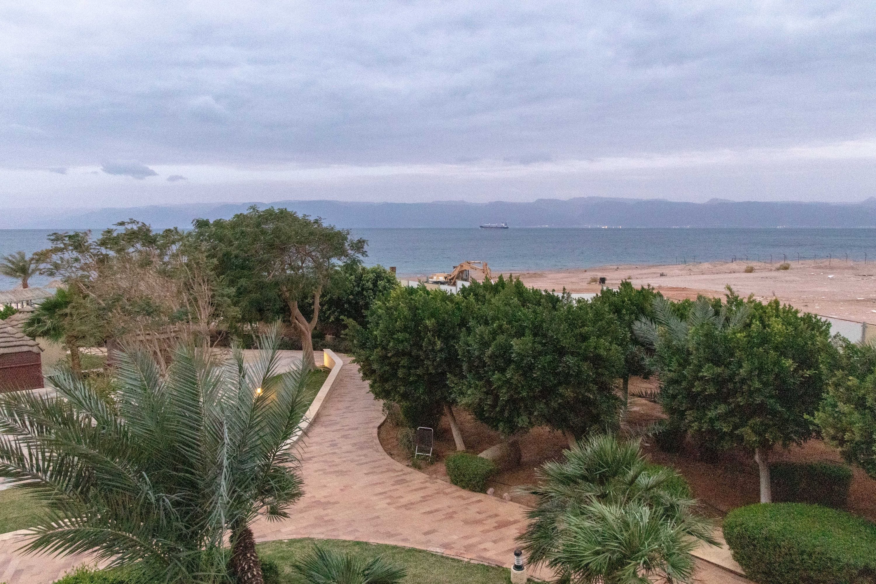
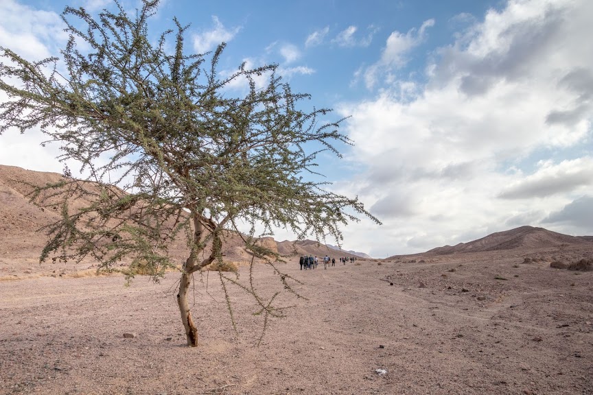
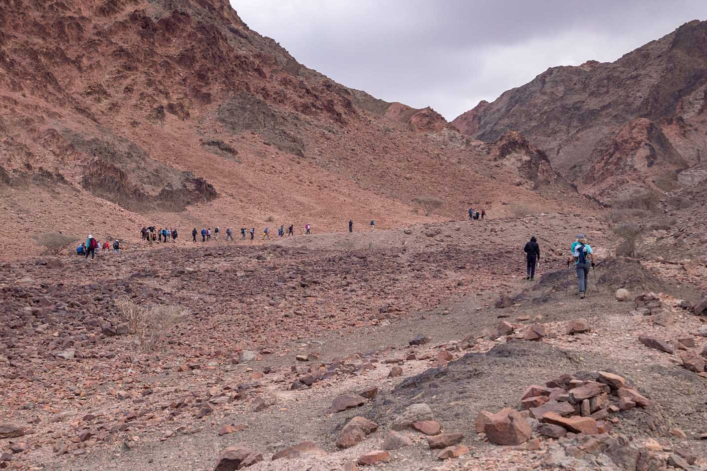
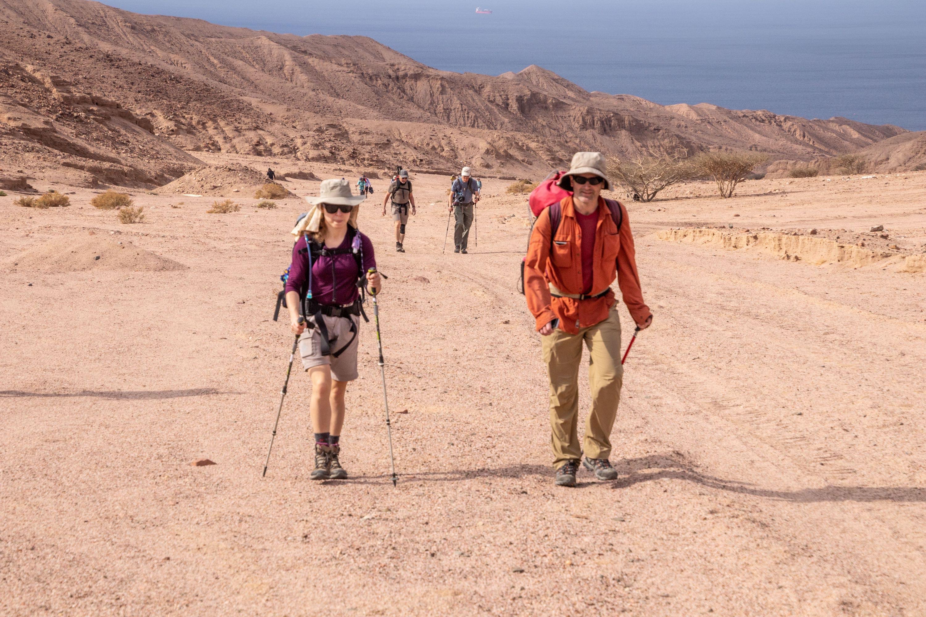
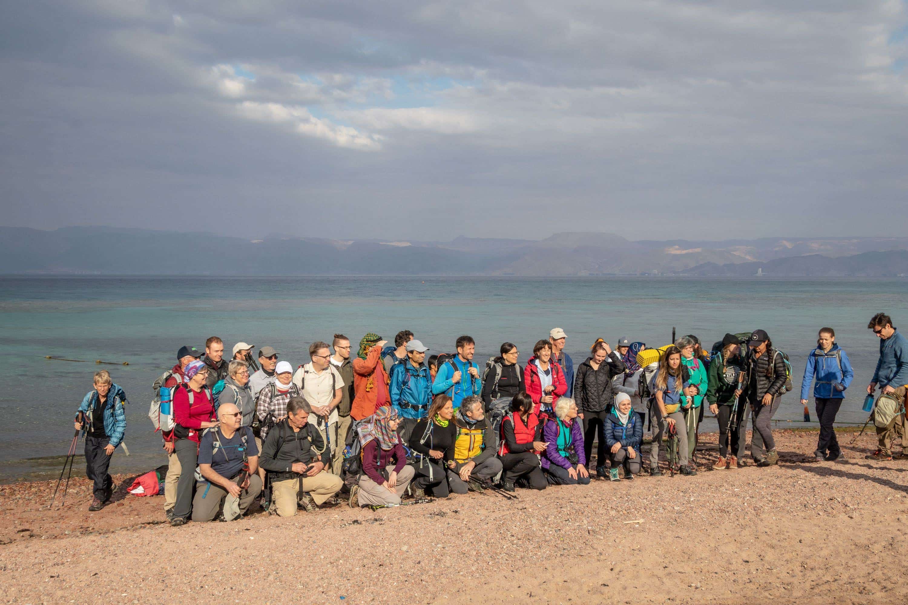
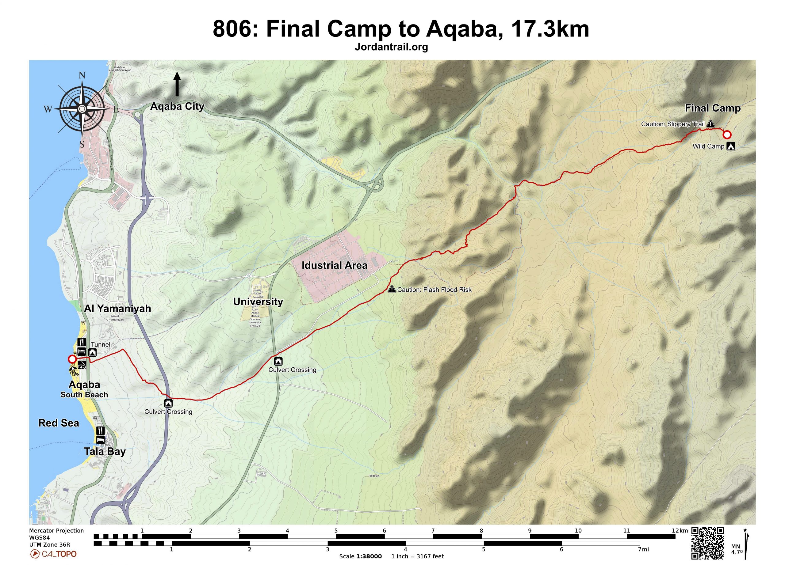
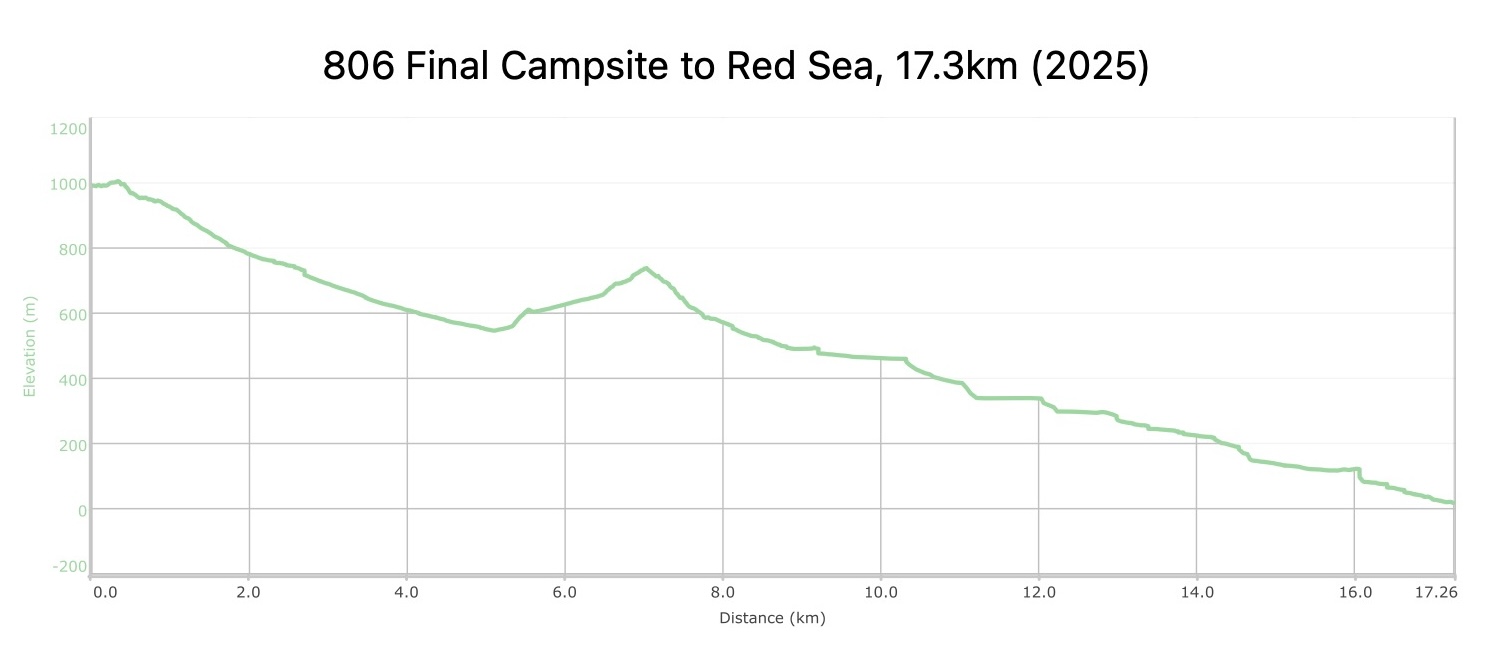
The last day, and its a good one! A vague path climbs up into granite mountains striated with basalt intrusions, soon reaching a sandy wadi bed which winds up towards the final pass and a view of the Red Sea. A long diagonal descent of a scree covered hillside follows (take care) before reaching the wadi bed. As it opens out, an industrial depot/car storage site is reached, but once past this and over the highway, a series of long open sandy wadis go all the way to the coast, nicest if initially walked along the intervening sandy ridges. A highway is passed along the way by going through a tunnel beneath it. Just before the sea, a small road is joined which passes by a few hotels before reaching the beach. Congratulations! Why not enjoy a swim!
TRANSTOPTATION

Public and JETT buses travel several times a day from Amman to Aqaba

LOCAL CONTACTS / ACCOMMODATION

Bayt Al Aqaba Resort, +962799944797

THINGS TO SEE
  • Red Sea
  • Coral Diving
  • Aqaba
FOOD & WATER

Food:

  • Grocery stores and restaurants in Aqaba

Water:

  • None on route, only at end of trail at Red Sea
TIPS & SAFETY

Tips:

  • Loose rocks & scree over passes, good to have boots/shoes
  • Pack a swimsuit or run straight into the Red Sea!

Safety Info:

  • Flash flood dangers – wadis are very wide, low risk
  • Loose footing – both passes are loose gravel and some scree. Be careful and have good footwear.
  • Dehydration/heat exhaustion – After heading downhill from the pass, it is hot in the summer with little shade on route. Some trees in valley and rocks on pass offer a brief respite.


Mobile Phone Coverage: First signal at final pass, where coverage for Zain and Orange returns

The Jordan Trail is a newly established trail, and is not marked. It is therefore our strong recommendation that you hire a local guide for your safety as many sections are remote with limited water sources and at times no connectivity.
By downloading these maps/GPX you take full responsibility for their use and accuracy; Jordan Trail Association does not warrant the accuracy or completeness of the information, materials or the reliability of any maps as they provided AS IS without warranty of any kind, either express or implied, including but not limited to, fitness for a particular purpose, or non-infringement ;You acknowledge that any reliance on any such maps, shall be at your sole risk and responsibility as Hiking, backpacking, and other outdoor activities all have potential hazards involving risk of injury or death. Outdoor activities have inherent risks and you should ensure you have the skill level and abilities suitable for the activities in Jordan to partake in them and to take all precaution measures.  Check the data on Google Earth or other Apps or Programs before using them.  The Jordan Trail Association shall not be held responsible for any incidents that may occur during your participation in any activity and/or by using any of the maps/GPX.
AGREE
close-link