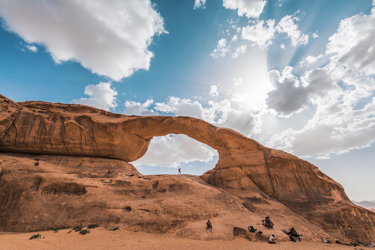
SECTION 802: JABAL KHARAZEH TO SHAKRIYA
-
HIKES IN THE REGION
-
DAY 2: JABAL KHARAZEH TO SHAKRIYA
-
Distance: 16 km
-
Time: 6 hours
-
Physical Challenge: Moderate
-
Trail Challenge: Moderate
-
Waymarked: No
- Route Map
- Google Map
- GPS
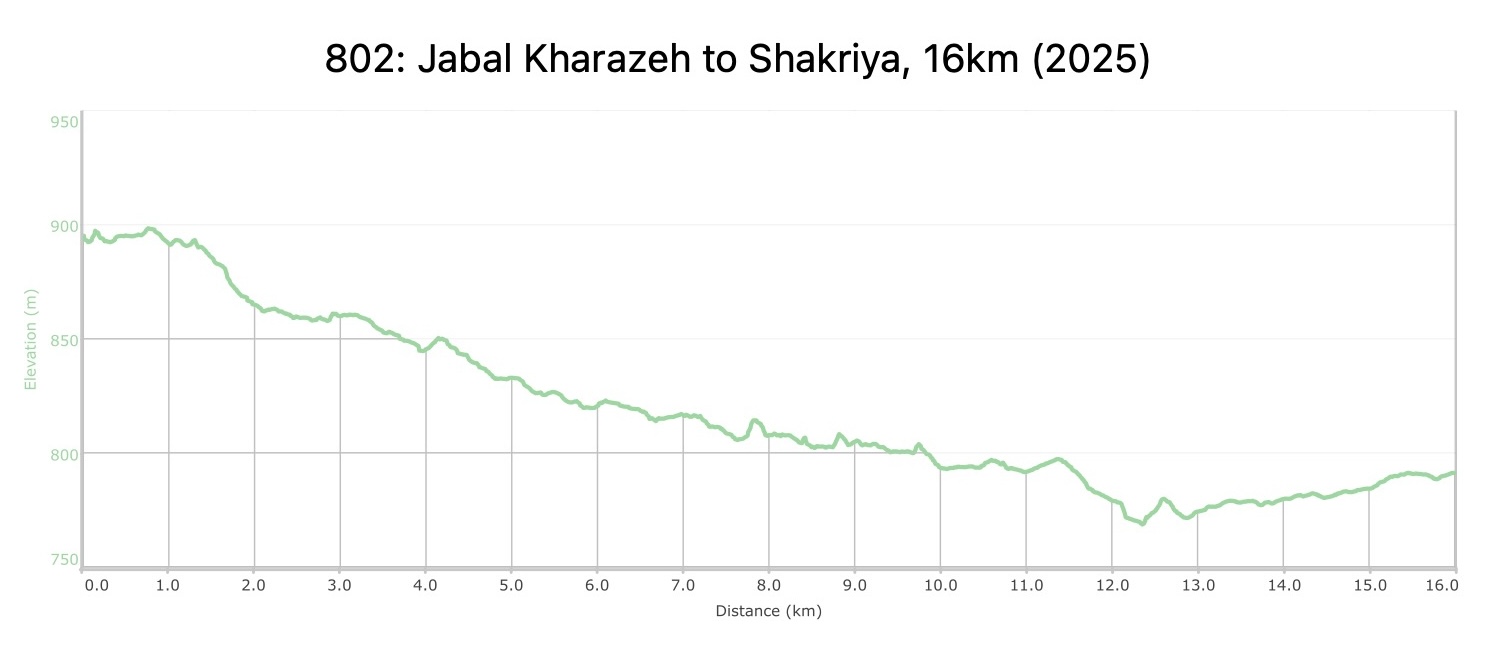
- Elevation Chart
To download the GPS track, click icon Â
Tourism Police:
Hotline: 117777
What’s App: +962 7 7099 1814
* When contacting Tourism Police for emergency identify that you are hiking the Jordan Trail, state your nationality, location and map name & number.
Â
JTA office: +962 6 461 0999
(Working Hours: 9:00 a.m. to 5:00 p.m., Sunday- Thursday)
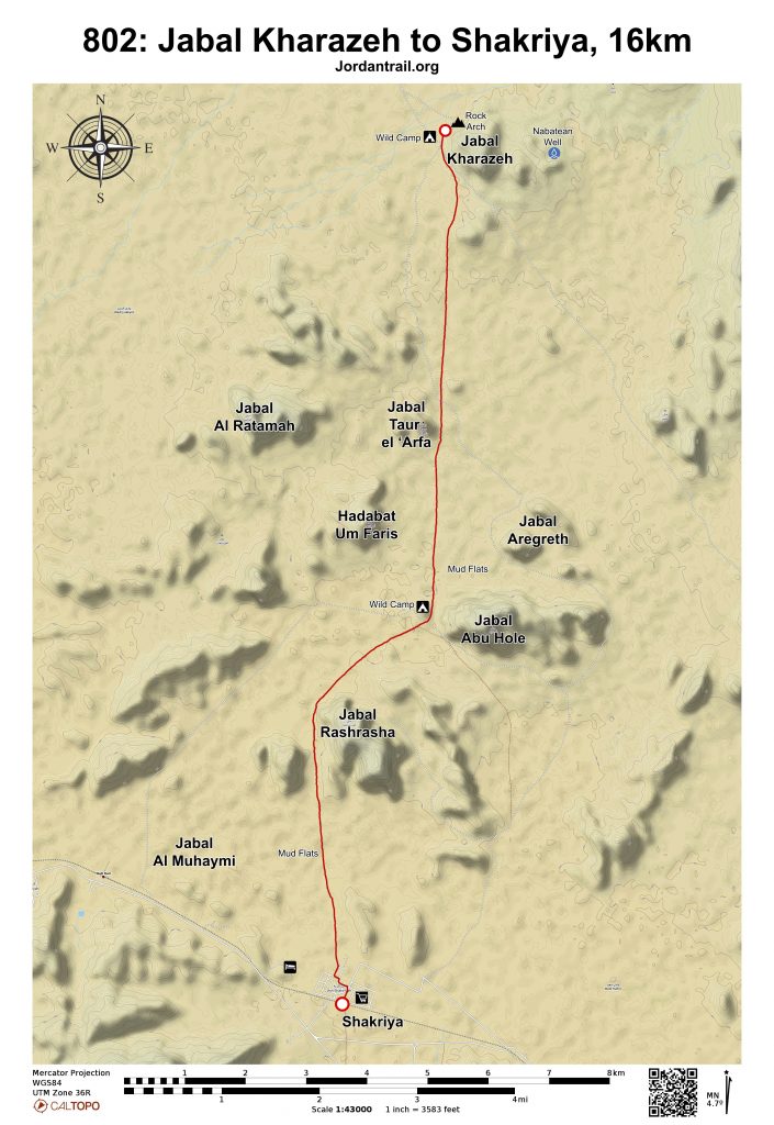
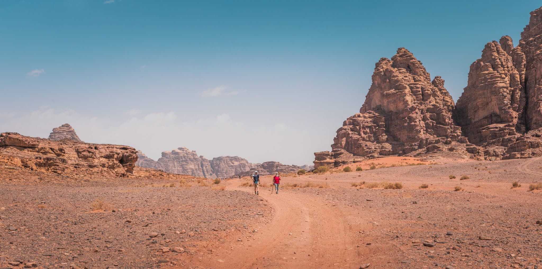
From the stone arch on Jabal Kharaza, head due south at a bearing of 180 degrees, heading through a gap visible straight ahead, not turning right or left. Pass Jabal Aregreth on your left, heading towards the western edge of Jabal Abu Hole.
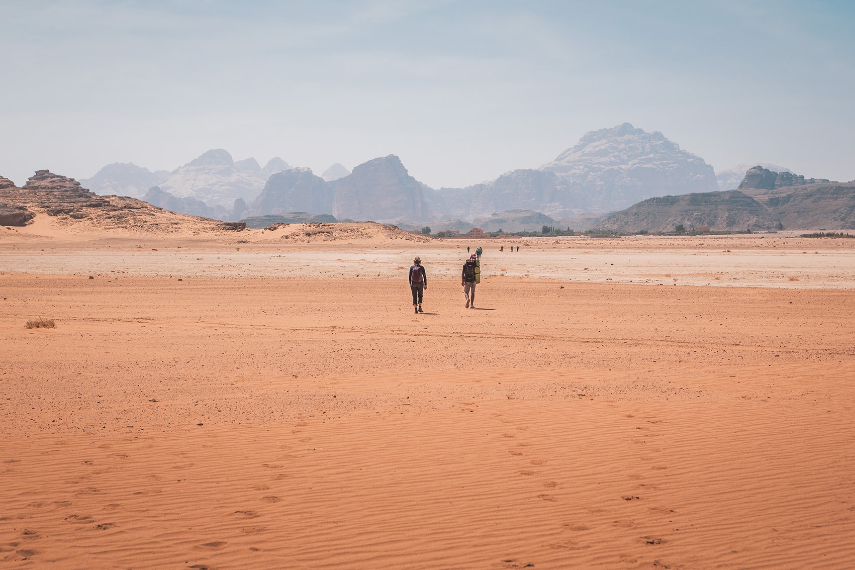
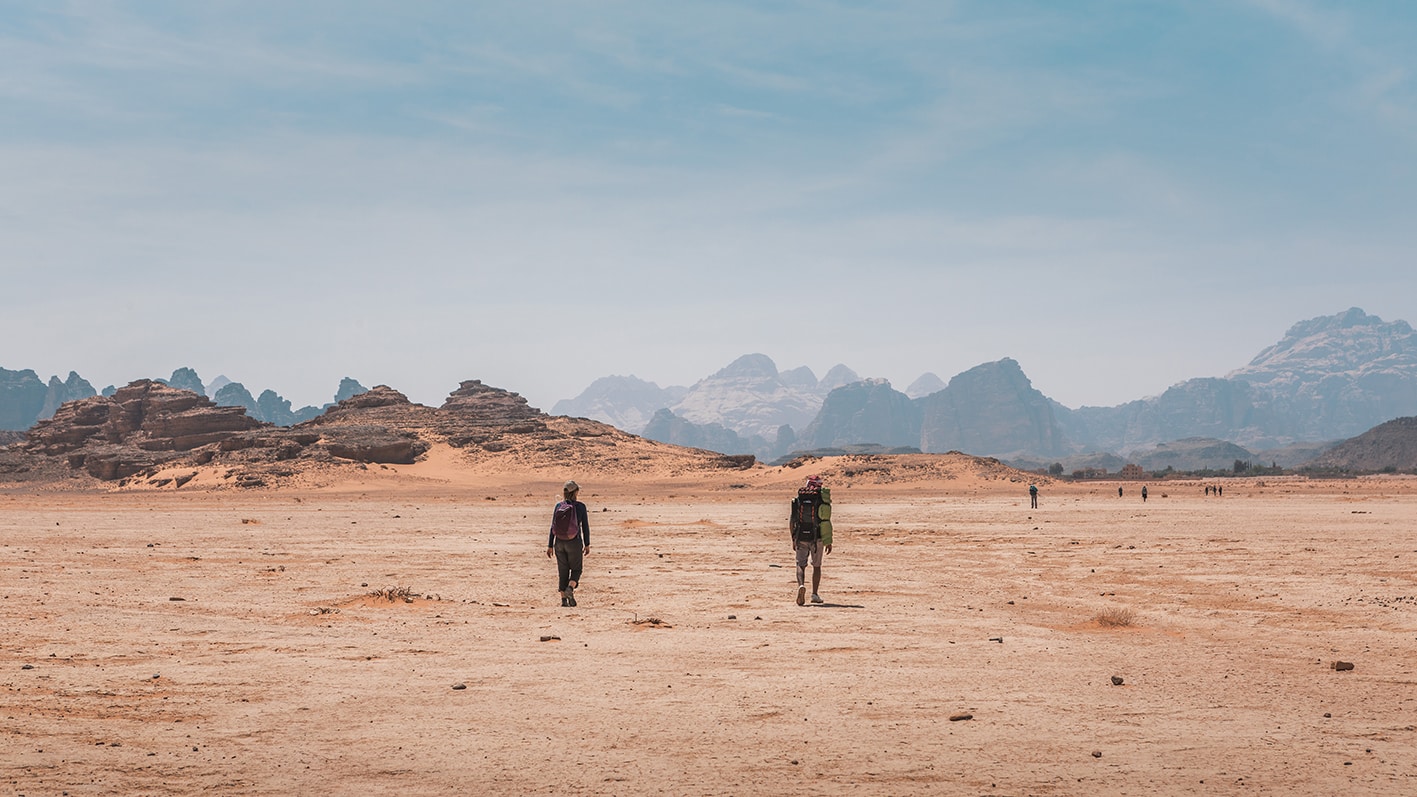
After about 7 km, pass near some dried mud flats (Gaa’), heading southwest for about 3 km and then south again to proceed between the two Jabal Abu Rashrasha mountains, passing a large stone cairn marking a small graveyard on your left. Continue straight south through more dried mud flats to reach the village of Shakriya, visible ahead, entering the town near the school.
Private jeep/pickups only
- Sun City Camp, Tariq Khadir, +962795666673, Yanal Zawaideh, +962777168516
- Jabal Rum Camp, Marwan Al Ogdeh, +962796740339
- Bait Ali Camp, Hussam Tawfeek, +962795548133, Khalid Al Masri, +962799257222Â
- Shakriye
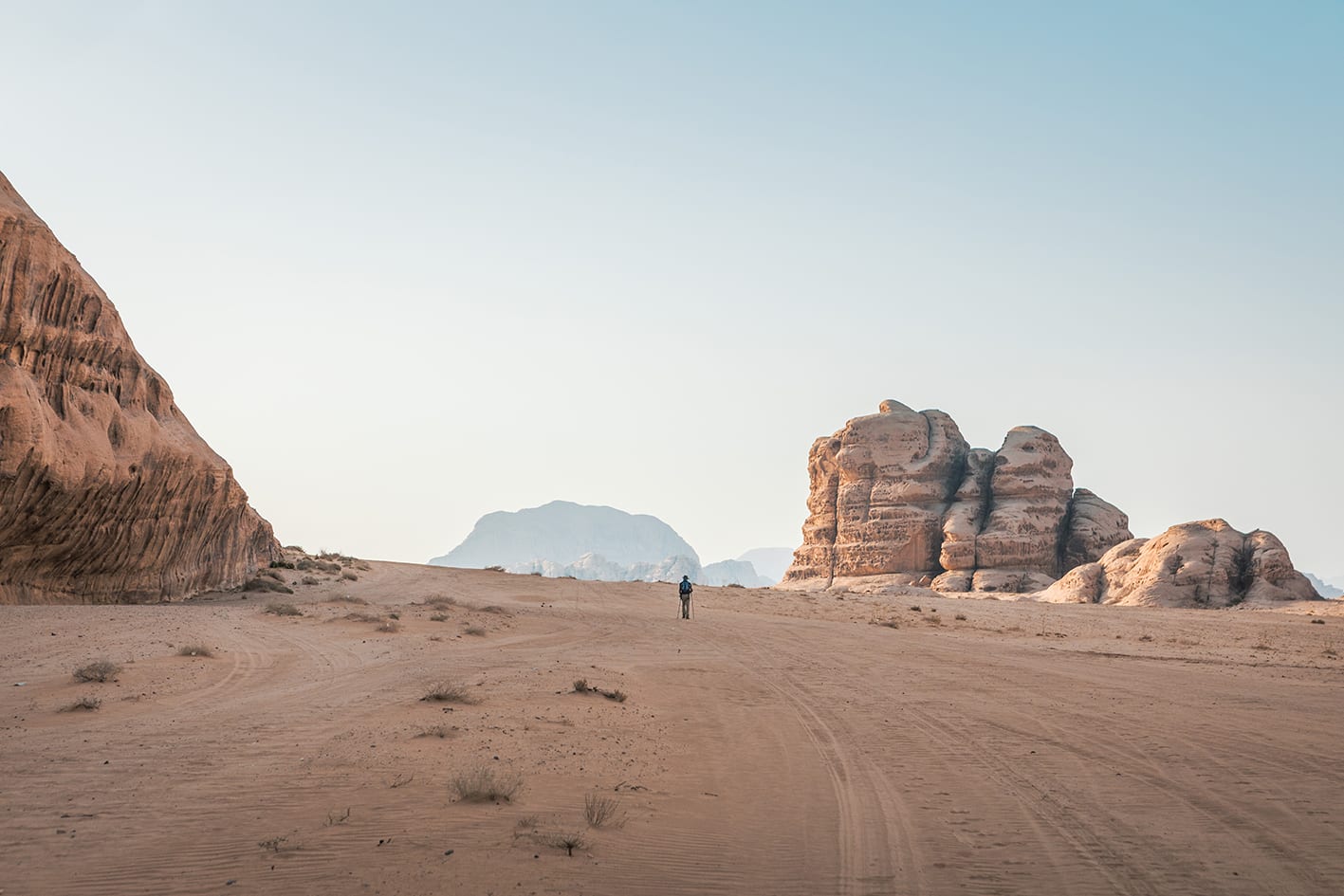
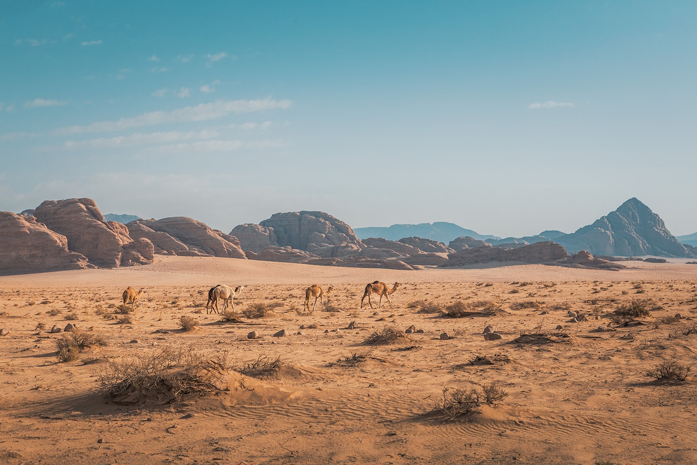
- Dunes, mud flats, and a maze of sandstone mountains
Food:
- Shakriya has a shop.
Water:
- Shakriya only.
Tips:
- Its possible to cut corners a little if you trust your navigation experience.
- Route is sandy, and can be very cold or hot, depending on season.
Safety Info:
- Loose footing – Sandy walking except on mud flats.
- Dehydration/heat exhaustion – Mostly in the sun, possible to find shade for breaks behind large rocks. No water except at end of stage.