SECTION 805 : WADI WARAQA TO FINAL CAMP
-
HIKES IN THE REGION
-
DAY 5: WADI WARAQA TO FINAL CAMP
-
Distance: 25.9 km
-
Time: 7 - 9 hours
-
Physical Challenge: Moderate
-
Trail Challenge: Moderate
-
Waymarked: No
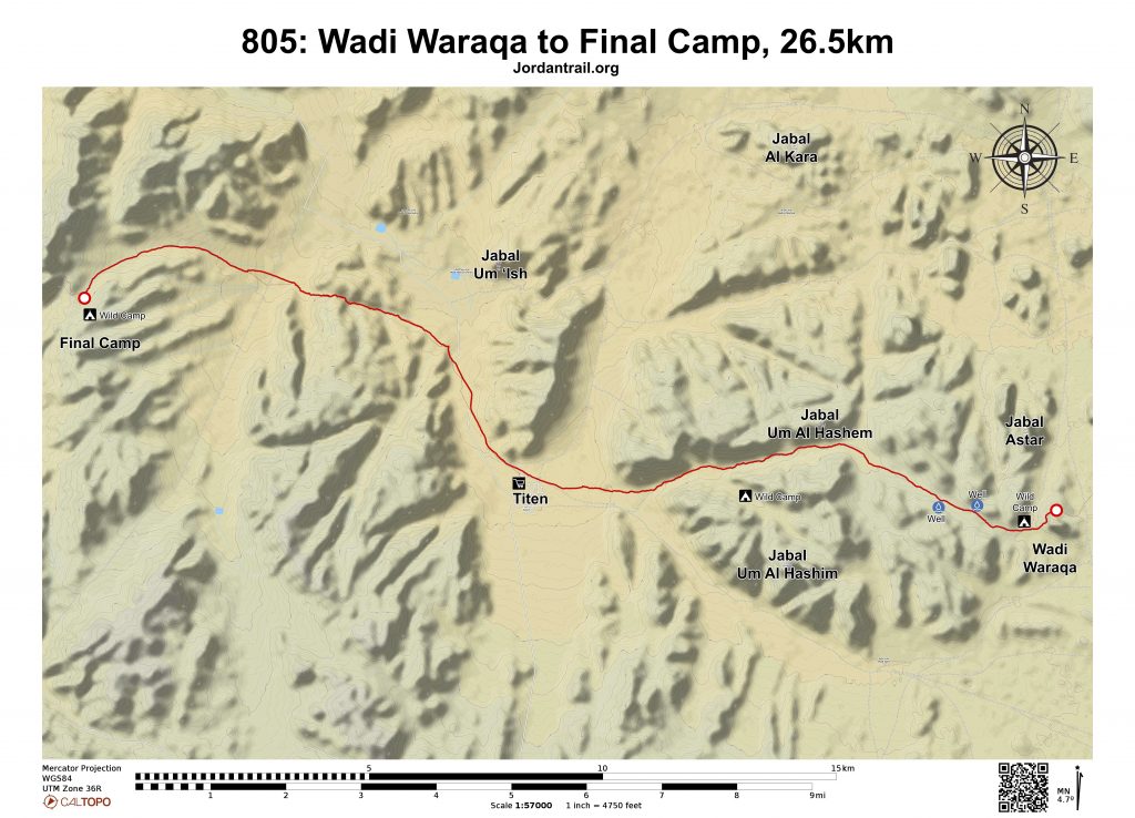
- Route Map
- Google Map
- GPS
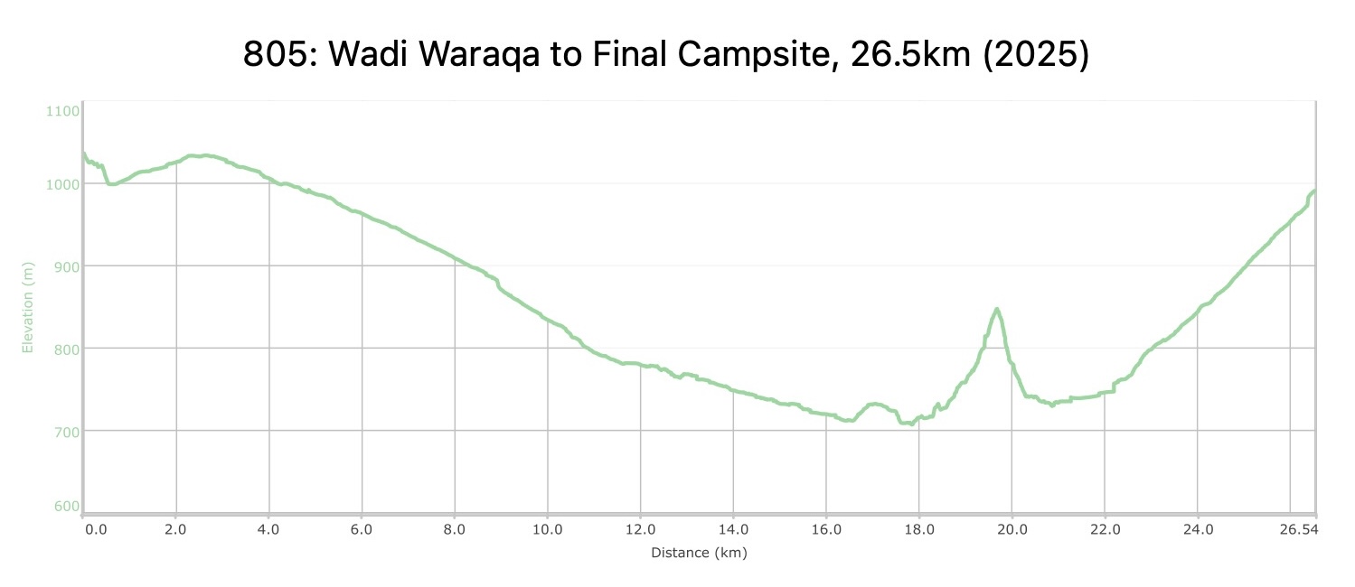
- Elevation Chart
To download the GPS track, click icon
Tourism Police:
Hotline: 117777
What’s App: +962 7 7099 1814
* When contacting Tourism Police for emergency identify that you are hiking the Jordan Trail, state your nationality, location and map name & number.
JTA office: +962 6 461 0999
(Working Hours: 9:00 a.m. to 5:00 p.m., Sunday- Thursday)
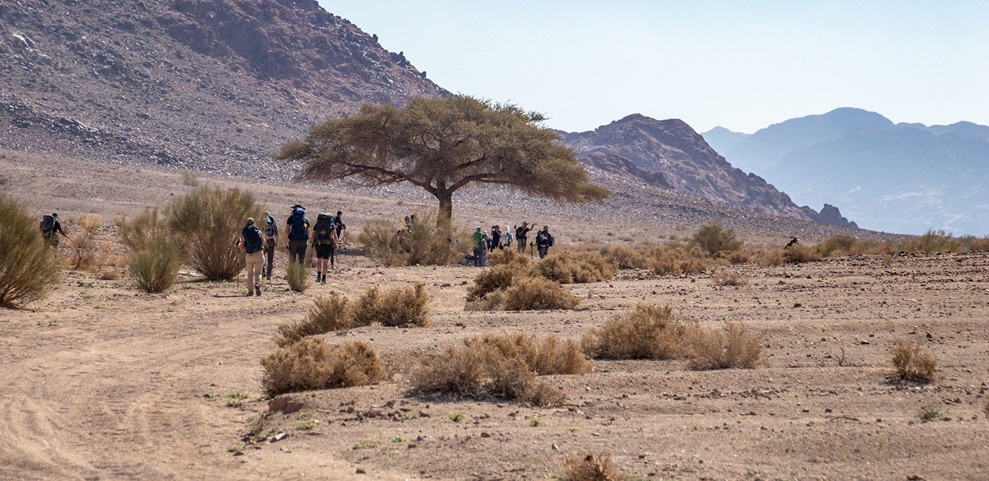
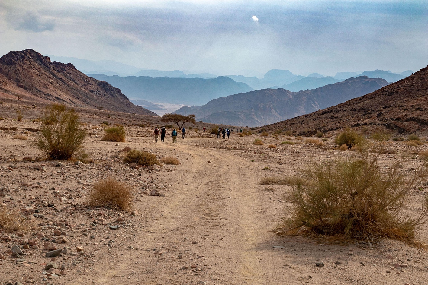
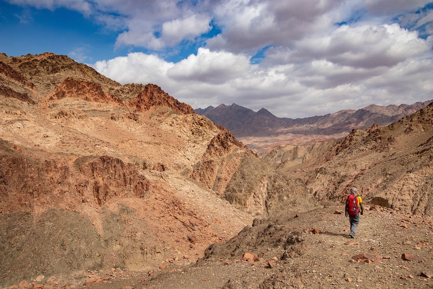
Follow Wadi Waraqa west, passing multiple dry cisterns and watching the sandstone mountains of Rum fade into the Granite dark and pink quartz rock characteristic of the rest of the trail. Head straight for approximately 10km gently downhill to Titen Village, enjoying easier walking and a change in geology to granite/quartz rocks.
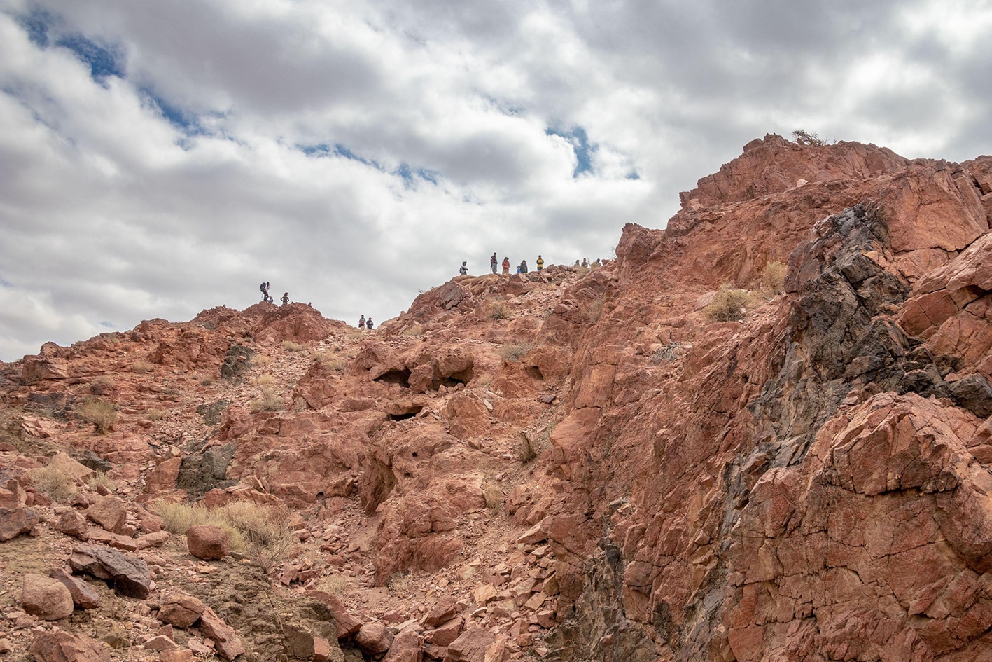
From Titen, head northwest parallel to the paved road, turning left westerly to enter a wadi with Acacia trees and pass a Bedouin camp, climbing up a rocky gully to a pass overlooking the wide Wadi Al-Libnan below. The path through this section is very faint, so best to follow a GPS track to make a few key turns. Head down the same rocky pass for a short distance, and cross the Wadi and large power lines running along the valley. Continue across the wadi to the West on a fine gravel 4×4 trail, gently climbing up a gentle wadi to reach the Final Campsite, just below the top of the pass to the left in an area protected by wind.
- Titen village is accessible by car
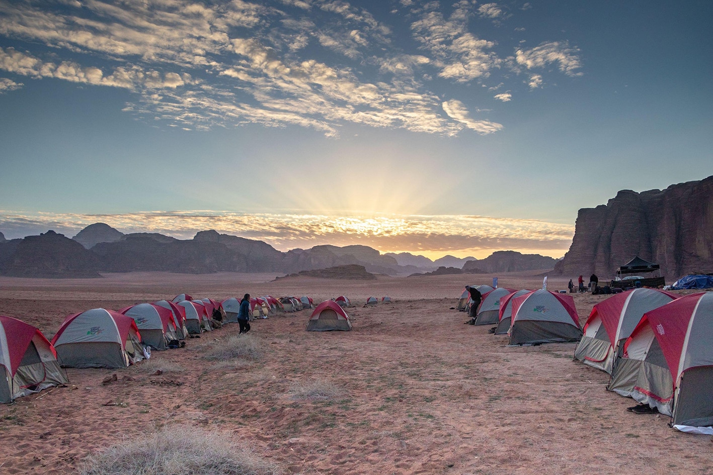
- “Final Campsite” accessible by 4×4, easy to find at top of pass west of Wadi Liban.
- Wild camping, Ali Zalabiah, +962776558752, JT Pass Stamp Final Camp
- Wild camping, Mohammad Abdullah Zalabiah, +962778382082
- Wild camping, Rashid Sabbah Zalabiah, +962795944972
- Wild camping, Abdullah Metleq Zalabiah, +962776335153
- Wild camping, Awwad Mefleh Zalabiah, +962778775776
- Wild camping, Owda Mohammad Zalabiah, +962778908338
- Wild camping, Khalid Meflih Zalabiah, +962777875264
- Wadi Waraqa
- Titen Village
- Aqaba Mountains
Food:
- There is a small shop in Titen Village, but has been reported closed at times.
Water:
- Titen village
- Dry cisterns at beginning of Wadi Waraqa
Tips:
- Longer day, so start early and take breaks in shade trees. Higher elevation will keep temps down a little.
- Titen could appear abandoned, so hopefully water can be found if you knock on doors and make friends.
- Good to wear shoes/boots, not sandals as rocks rocks are rougher and can be sharp.
- It is possible to bypass climb by going around hillside, which doesn’t add that much more distance if you don’t want to ascend and navigate the established route.
- Best to hike with a local guide.
Safety Info:
Loose footing – Some loose, fine gravel on trails; climb up over pass is rocky and requires focus
Dehydration/heat exhaustion – Path is mostly in sun, but there are shade trees every few kilometers.
Military base – Route is within 15km of the Saudi border, but there are no visible signs of military or checkpoints from the trail.
Mobile Phone Coverage: None for most of the route, but a very weak Orange signal on hills near the “Final Campsite.” There are many options for roaming on international networks at same location.