SECTION 403 : WADI MUJIB TO MAJDALEIN
-
HIKES IN THE REGION
-
DAY 3: WADI MUJIB TO MAJDALEIN
-
Distance: 20.1 km
-
Time: 7 hours
-
Physical Challenge: Challenging
-
Trail Challenge: Challenging
-
Over All Diffculty: Challenging
-
Waymarked: Yes

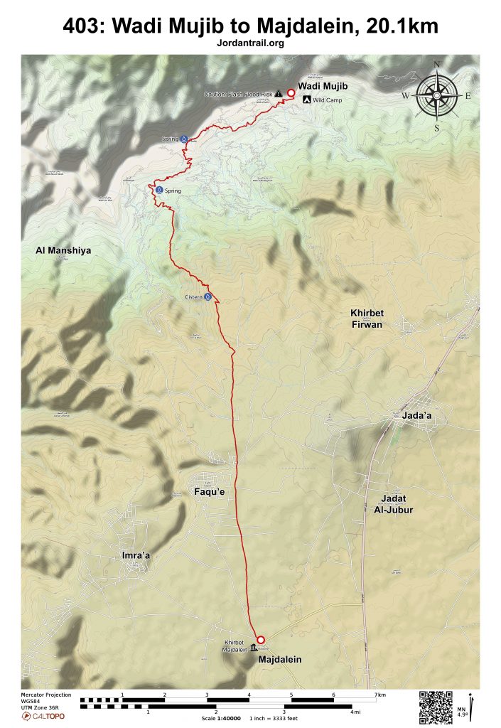
- Route Map
- Google Map
- GPS
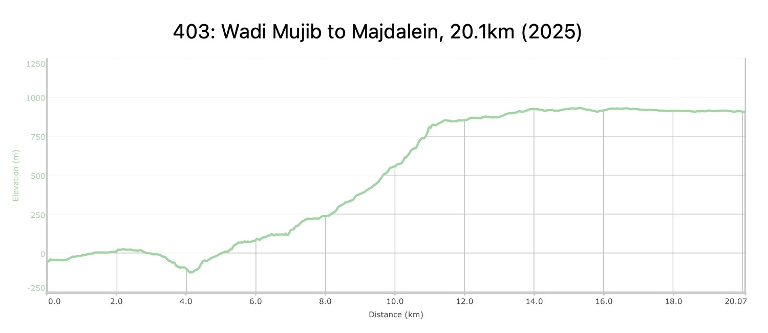
- Elevation Chart
To download the GPS track, click icon


Tourism Police:
Hotline: 117777
What’s App: +962770992690
* When contacting Tourism Police for emergency identify that you are hiking the Jordan Trail, state your nationality, location and map name & number.
JTA office: +962 6 461 0999
(Working Hours: 9:00 a.m. to 5:00 p.m., Sunday- Thursday)
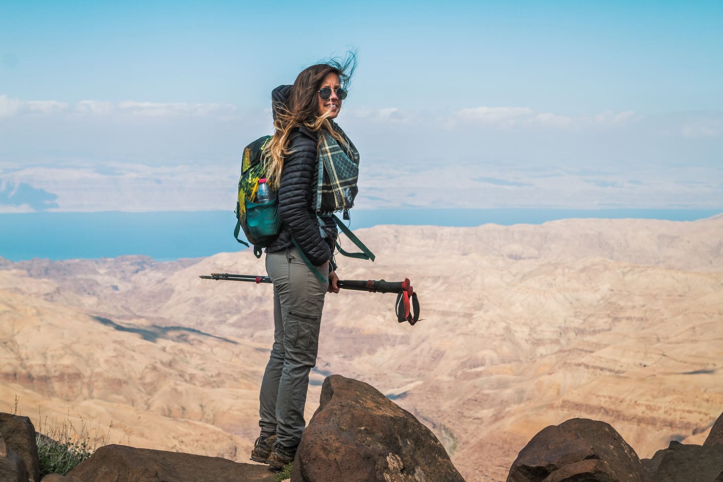
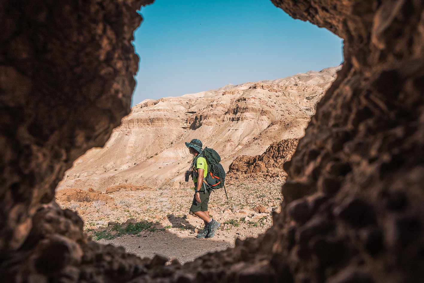
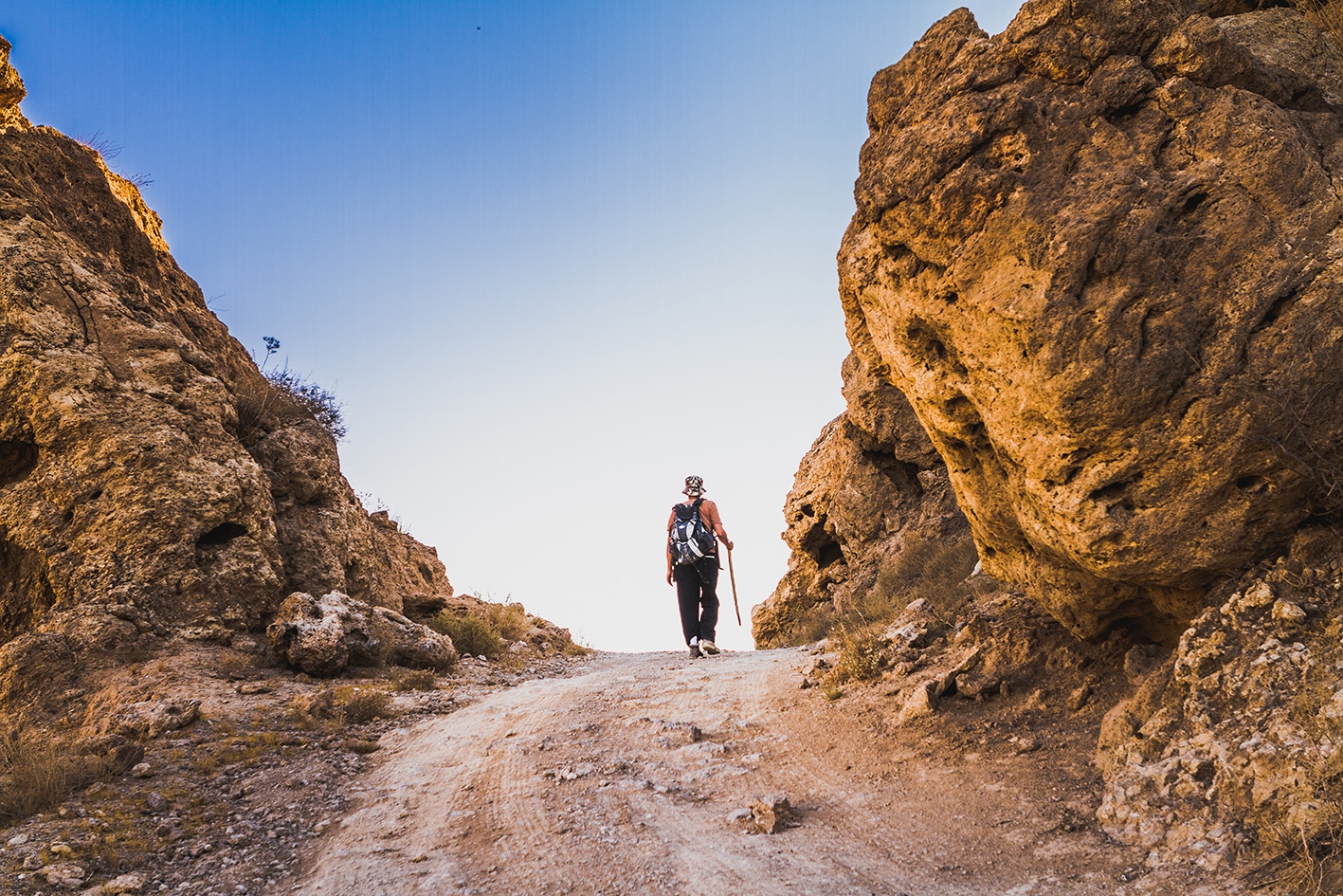
Contrasting terrain today, once again with a long uphill start in spectacular barren surrounds. A good track makes it way slowly up the S side of the gorge, heading SE towards a ridge which is then followed up amongst amazing scenery to the canyon rim. A small road then goes S across the high fertile plateau, eventually picking up an old Roman road bordered by rocks, leading past the small town of Faquato the abandoned old basalt village of Majdelein on the rim of Wadi ibn Hammad (great views).
- There is no direct bus service to the villages on the route. Take a bus to Madaba and then private transportation to the route.
- A variety of dirt roads can acces Wadi Mujib with 4WD.
- Wild Camping, Karam Khrisha, +962 798372030
- Wild Camping, Mohammad Bashabsheh, +962 791534734
- Wadi Mujib
- Graveyards
- Ruined buildings along the way
- Faqu’a and views from ridge
- Majdalein village ruins.
Food:
- Minimarkets in Faqua
Water:
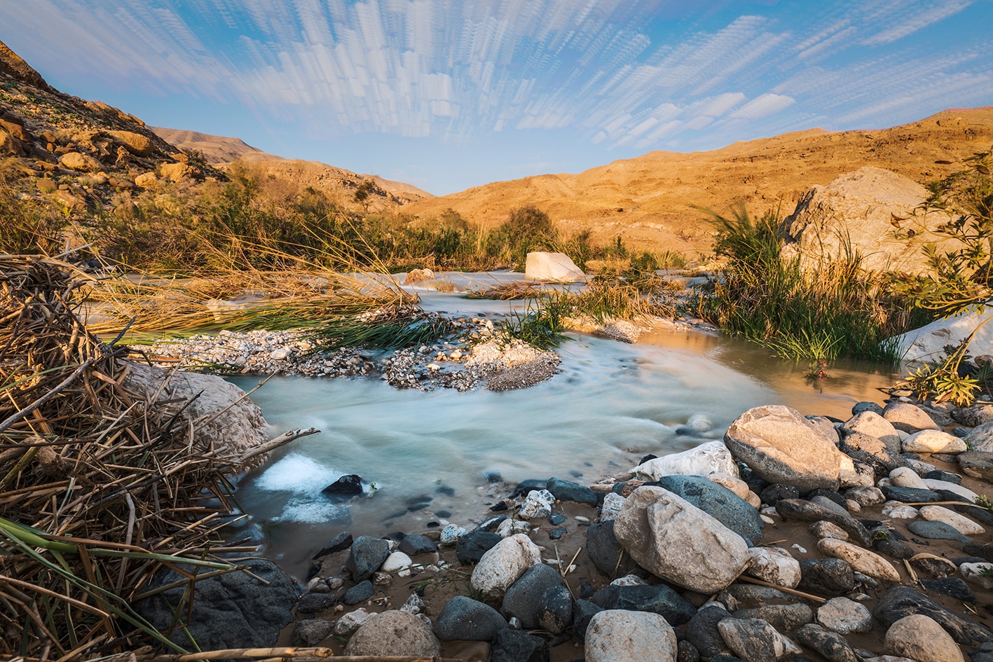
- Water: Mujib stream (purification required).
- Faqu’a village
- No water at present directly at the Majdaleen ruins at the stage’s end, but you pass by various houses after reaching road that could help.
Tips:
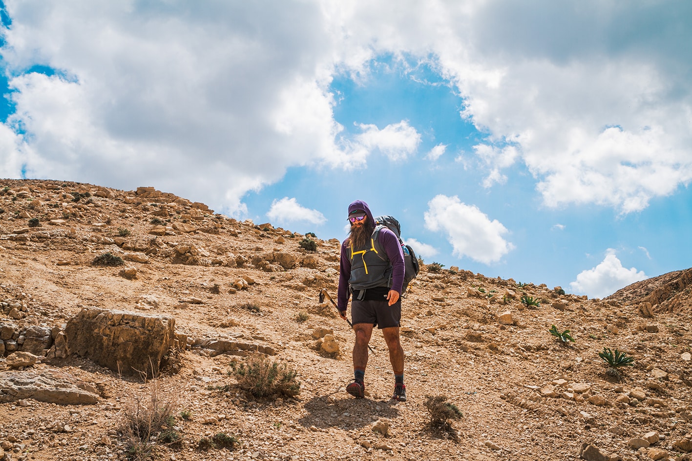
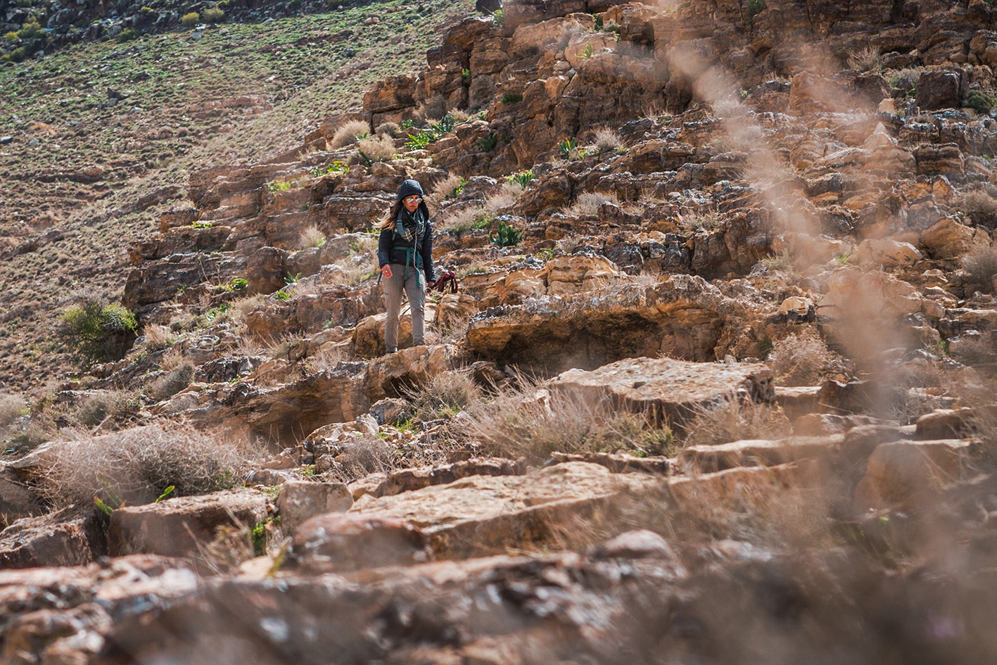
- Be mentally prepared for longest climb of the trail so far. It’s almost 1200m of uphill out of Wadi Mujib, and the trail gets steeper as you progress, likely the most challenging on the entire Jordan Trail. Footing is better on the ascent than it appears from below. Continue on the ridge’s spine if you have trouble finding the trail. Near the top, the path’s steep slope is manageable by following the rock ledge, which is like a series of stone steps with solid footing most of the way. Near the top, the path seems impossible, but a solid, wide cut route heads around to the left through the basalt rock crust on the canyon edge. This part might challenge people with a severe fear of heights, but should be manageable for most. If northbound and heading downhill, be careful!
- The trail’s surface is hard on feet, which culminates from the past few days of rough routes.
- Be careful in Wadi Mujib of flooding if rain is in the forecast.
- Consider camping 3km into the stage near where you leave Wadi Mujib to offer a shorter day and earlier climb.
Safety Info:
- Exposed edges – See Tips above – only at top for short section
- Flash flood dangers – Wadi Mujib bottom, crossing area with rockfall/spring below
- Loose footing – The climb has some sections where it’s a little loose, but overall fine with boots and poles. Going uphill is likely easier than downhill.
- Dehydration/heat exhaustion – Shade is limited after leaving the area close to Wadi Mujib. Start early to not spend the hot hours of the afternoon climbing in the exposed sun.
Mobile Phone Coverage: Mobile phone service is available on most of the stage, but is limited in the bottom of Wadi Mujib and on sections of the. Orange has better service in this area than Zain.
REGIONAL TRANSPORTATION
We’re still collecting this information. Do you know something that might be helpful? Share it with us!
For general information on transportation in Jordan, click here.

