SECTION 504: MA’TAN TO DANA

  • HIKES IN THE REGION

  • DAY 4: MA’TAN TO DANA​

  • Distance: 15.5 km

  • Time: 5 hours

  • Physical Challenge: Difficult

  • Trail Challenge: Difficult

  • Waymarked: No

To download the GPS track, click icon  

The Jordan Trail is a newly established trail, and is not marked. It is therefore our strong recommendation that you hire a local guide for your safety as many sections are remote with limited water sources and at times no connectivity.
By downloading these maps/GPX you take full responsibility for their use and accuracy; Jordan Trail Association does not warrant the accuracy or completeness of the information, materials or the reliability of any maps as they provided AS IS without warranty of any kind, either express or implied, including but not limited to, fitness for a particular purpose, or non-infringement ;You acknowledge that any reliance on any such maps, shall be at your sole risk and responsibility as Hiking, backpacking, and other outdoor activities all have potential hazards involving risk of injury or death. Outdoor activities have inherent risks and you should ensure you have the skill level and abilities suitable for the activities in Jordan to partake in them and to take all precaution measures.  Check the data on Google Earth or other Apps or Programs before using them.  The Jordan Trail Association shall not be held responsible for any incidents that may occur during your participation in any activity and/or by using any of the maps/GPX.
AGREE
close-link
Click Icon to download the map
IMPORTANT NUMBERS

Tourism Police:

Hotline: 117777
What’s App: +962 7 7099 1814

* When contacting Tourism Police for emergency identify that you are hiking the Jordan Trail, state your nationality, location and map name & number.


JTA office: +962 6 461 0999

(Working Hours: 9:00 a.m. to 5:00 p.m., Sunday- Thursday)

BASIC INFO

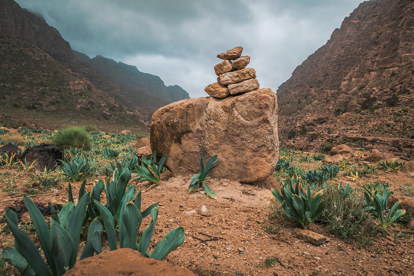
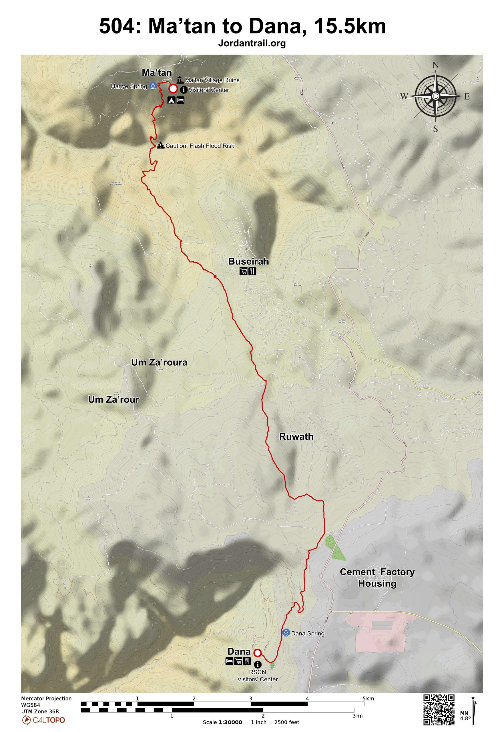
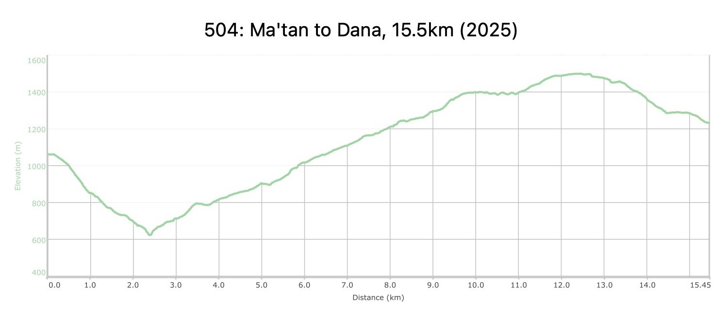
From Ma’tan village, head west on the paved road, turning left to find a path passing between boulders that descends via an old donkey trail down the steep hillside with terraced orchards and olive groves. Pass Ein Hiyere, and be sure to pay attention to finding the old path, which is well graded, as well as less exposed and slippery than other nearby options. Continue downhill, crossing over a dirt road and finding the donkey path again lower on the hillside, using it to descend all the way into the bottom of Wadi Ma’tan/Hamayde, with sandstone carved walls forming a slot canyon. Head right and then ascend steeply uphill on an old graded set of switchbacks, passing through cultivated fields to a 4×4, turning left then right to reach a footpath up to a paved road.

Continue up the paved road for about 1.5 km, then turn right to cross a washed out stone slab across another paved road to reach the southwest side of Wadi Buseirah. Follow a small footpath up along the side of the wadi, climbing higher to reach a similar level to the town of Buseirah visible across the valley. Follow this path for 3.3 km (with a break in the shade of an olive grove midway) until the top of the wadi where near where it reaches the paved road at 8.4 km. If needing supplies in Buseirah, you can backtrack from this point.

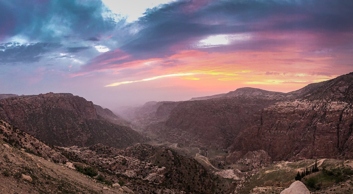
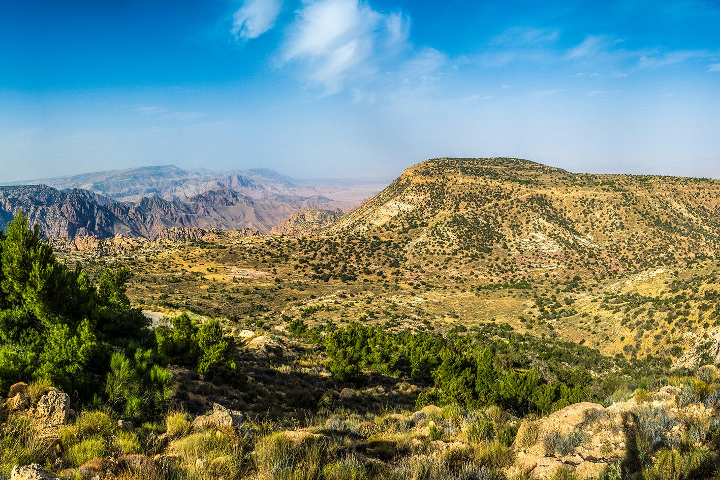
Continue over a saddle at the ruins of Khirbet Um Za’aroura, and cross the paved road, joining a 4×4 up on the west side of a wadi with pine forests below. At the top of the wadi, take another 4×4 to cross a very wide dirt road which heads to a quarry, walking south through a small forest to emerge on a flat agricultural area overlooking the immense view of Wadi Dana, which descends 1km vertically down to Wadi Araba. Take a moment to soak it all in and try to spot tomorrow’s route.

Head south in the direction of communication towers visible on the hilltop, dropping down in steps to the west to reach a footpath through cultivated fields in the direction of Dana village visible below. Find wider track that switches back to the north to descend through a small oak forest around a small set of cliffs, connecting down to the smaller paved road that passes by Dana spring and eventually descends to the entrance of Dana Village, where many guests houses and hotels can be found.


Important Note:

Before entering Dana Biosphere Reserve, please contact the reserve’s management to pay the entrance fees.

Dana Biosphere Reserve number: 0799111434

TRANSTOPTATION
  • Buses access Tafila (via Ais) from Amman and Aqaba. From Tafila, take a taxi to start/end points
  • From Amman, public buses run to Wadi Musa, Tafila, and Qadisiya. From these transport hubs you’ll need a taxi to reach smaller villages like Dana and Feynan. Many recommended wild campsites can be reached by 4×4 vehicle, if you are considering hiring a support vehicle.
LOCAL CONTACTS / ACCOMMODATIONS
  • Ein Lahda Camp, Samih Salman, +962 772255091/ Ahmad Samih Salman, +962 799786864, JT Pass Stamp Dana
  • Dana Tower Hotel, Hazim Al Nawaflah, +962 779672607, JT Pass Stamp Dana
  • Dana Guesthouse, +962 3227 0537/ Suliman Khawaldah, +962 772387787
THINGS TO SEE
  • Busaira
  • Dana Village
FOOD & WATER

Food:

  • Minimarket and bakery in Buseirah (off route)
  • Food and water in Dana (restaurants and hotels – no shop)

Water:

  • Ma’tan
  • Houses along road after leaving wadi Buseira
  • Dana village
TIPS & SAFETY

Tips:

  • Try to follow old donkey route down from Ma’atan to the wadi below. This route is much more solid and less slippery. Buseira village is off route (separated by deep wadi). It’s possible to walk back from junction into village to get supplies.
  • It’s wise to wear boots as some sections around Wadi Ma’atan and Wadi Buesira can be slippery.
  • Flash flood risks in crossing Wadi Ma’tan and the bottom of Wadi Buseirah.

Safety Info:

  • Exposed edges – Moderate sections along Wadi Buseira footpath; not too significant.
  • Flash flood dangers – Wadi Ma’tan, Wadi Buseira
  • Loose footing -The descent into Wadi Matan is steep at times. Be careful! The path along side of wadi Buseira is a little slippery in some sections.
  • Dehydration/heat exhaustion – Little shade exists, but trees can be found once in a while. At higher elevations, temperatures will be cooler.

The Jordan Trail is a newly established trail, and is not marked. It is therefore our strong recommendation that you hire a local guide for your safety as many sections are remote with limited water sources and at times no connectivity.
By downloading these maps/GPX you take full responsibility for their use and accuracy; Jordan Trail Association does not warrant the accuracy or completeness of the information, materials or the reliability of any maps as they provided AS IS without warranty of any kind, either express or implied, including but not limited to, fitness for a particular purpose, or non-infringement ;You acknowledge that any reliance on any such maps, shall be at your sole risk and responsibility as Hiking, backpacking, and other outdoor activities all have potential hazards involving risk of injury or death. Outdoor activities have inherent risks and you should ensure you have the skill level and abilities suitable for the activities in Jordan to partake in them and to take all precaution measures.  Check the data on Google Earth or other Apps or Programs before using them.  The Jordan Trail Association shall not be held responsible for any incidents that may occur during your participation in any activity and/or by using any of the maps/GPX.
AGREE
close-link