SECTION 601: DANA TO WADI MALAGA

  • HIKES IN THE REGION

  • DAY 1: DANA TO WADI MALAGA

  • Distance: 23.5 km

  • Time: 6 - 8 hours

  • Physical Challenge: Moderate

  • Trail Challenge: Moderate

  • Waymarked: No

To download the GPS track, click icon  

The Jordan Trail is a newly established trail, and is not marked. It is therefore our strong recommendation that you hire a local guide for your safety as many sections are remote with limited water sources and at times no connectivity.
By downloading these maps/GPX you take full responsibility for their use and accuracy; Jordan Trail Association does not warrant the accuracy or completeness of the information, materials or the reliability of any maps as they provided AS IS without warranty of any kind, either express or implied, including but not limited to, fitness for a particular purpose, or non-infringement ;You acknowledge that any reliance on any such maps, shall be at your sole risk and responsibility as Hiking, backpacking, and other outdoor activities all have potential hazards involving risk of injury or death. Outdoor activities have inherent risks and you should ensure you have the skill level and abilities suitable for the activities in Jordan to partake in them and to take all precaution measures.  Check the data on Google Earth or other Apps or Programs before using them.  The Jordan Trail Association shall not be held responsible for any incidents that may occur during your participation in any activity and/or by using any of the maps/GPX.
AGREE
close-link
Click Icon to download the map
IMPORTANT NUMBERS

Tourism Police:

Hotline: 117777
What’s App: +962 7 7099 1814

* When contacting Tourism Police for emergency identify that you are hiking the Jordan Trail, state your nationality, location and map name & number.


JTA office: +962 6 461 0999

(Working Hours: 9:00 a.m. to 5:00 p.m., Sunday- Thursday)

BASIC INFO

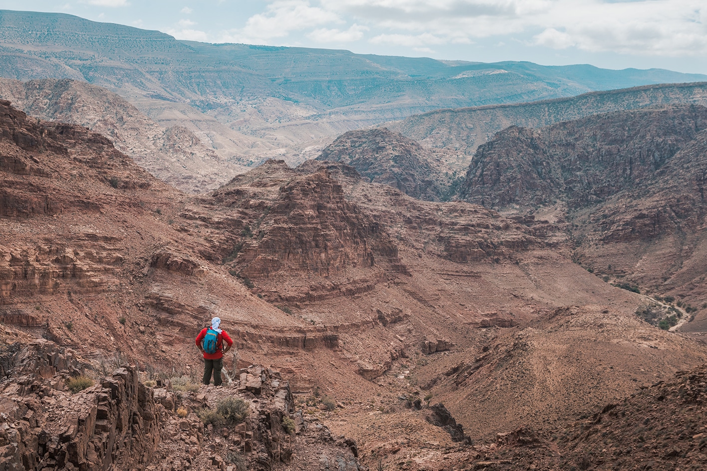
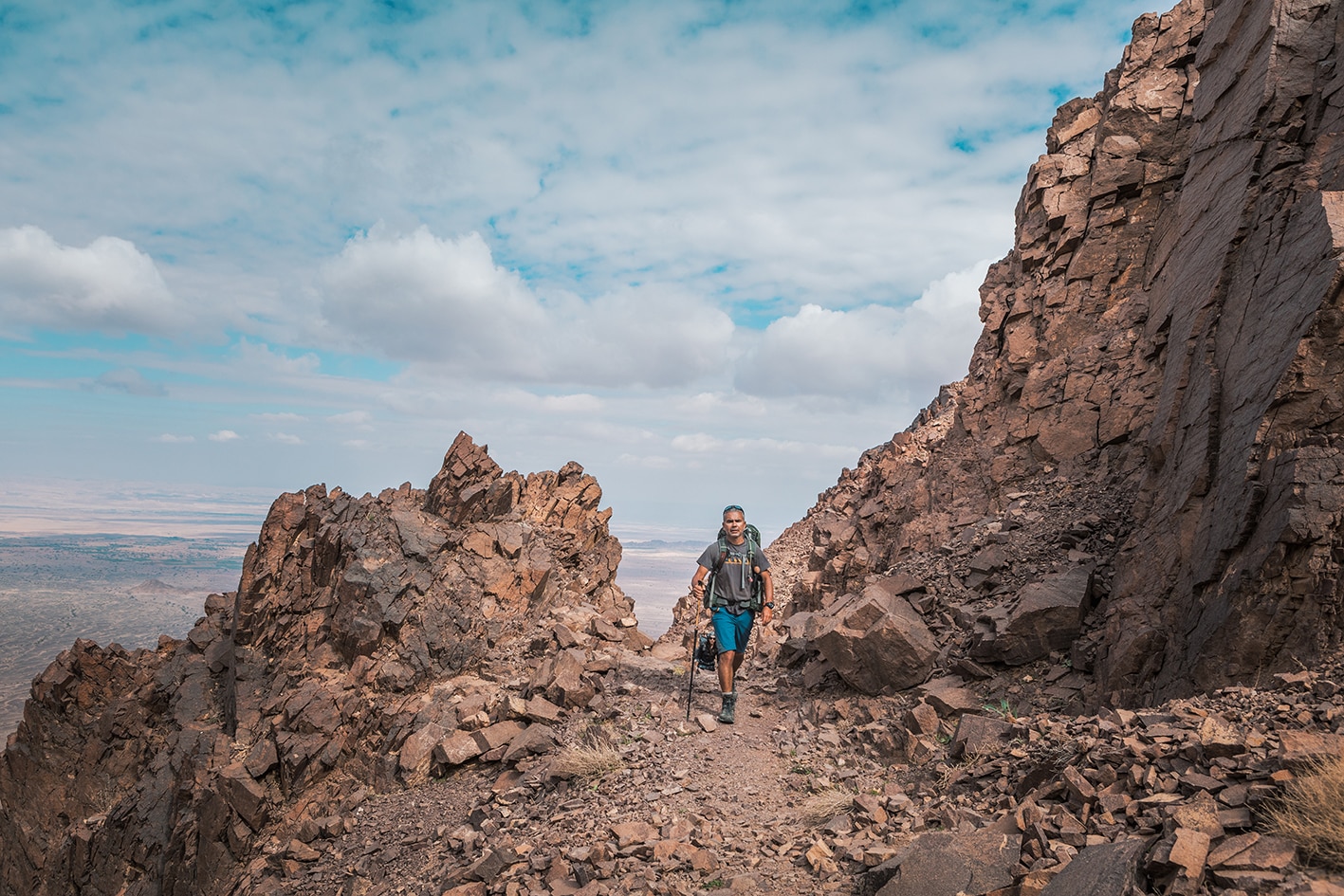
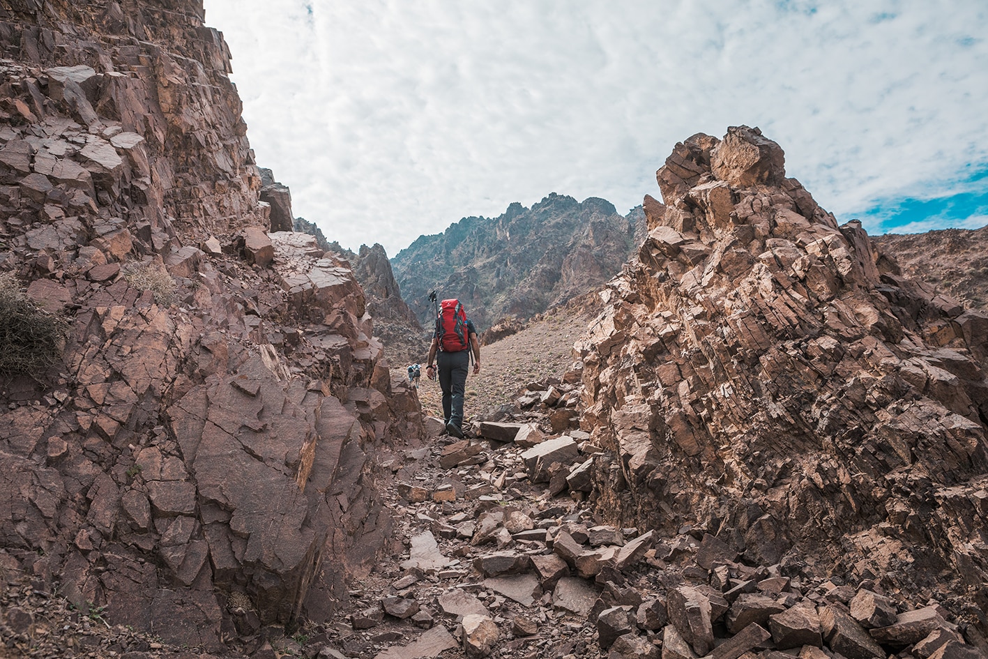
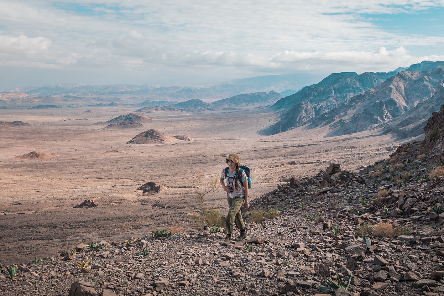
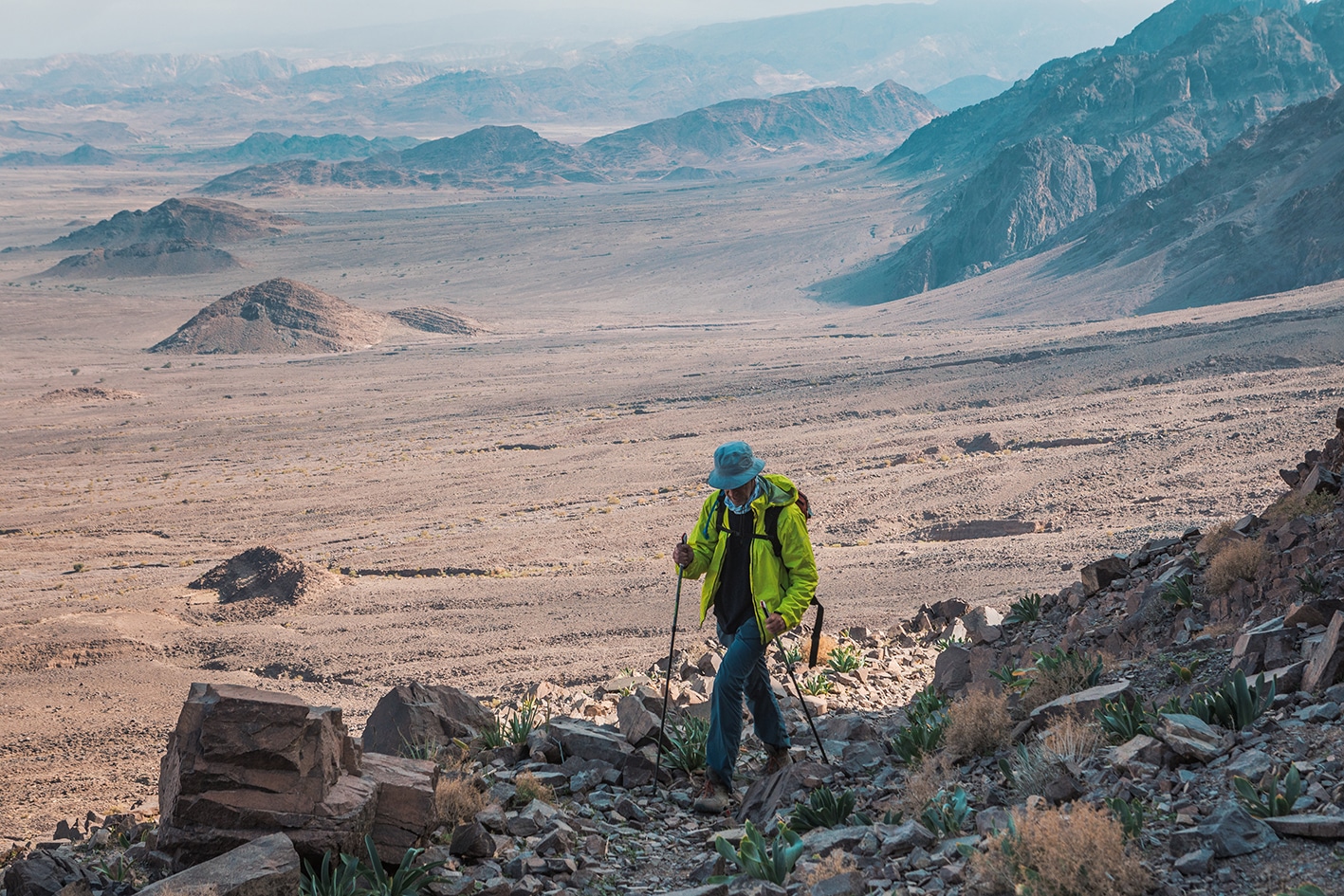
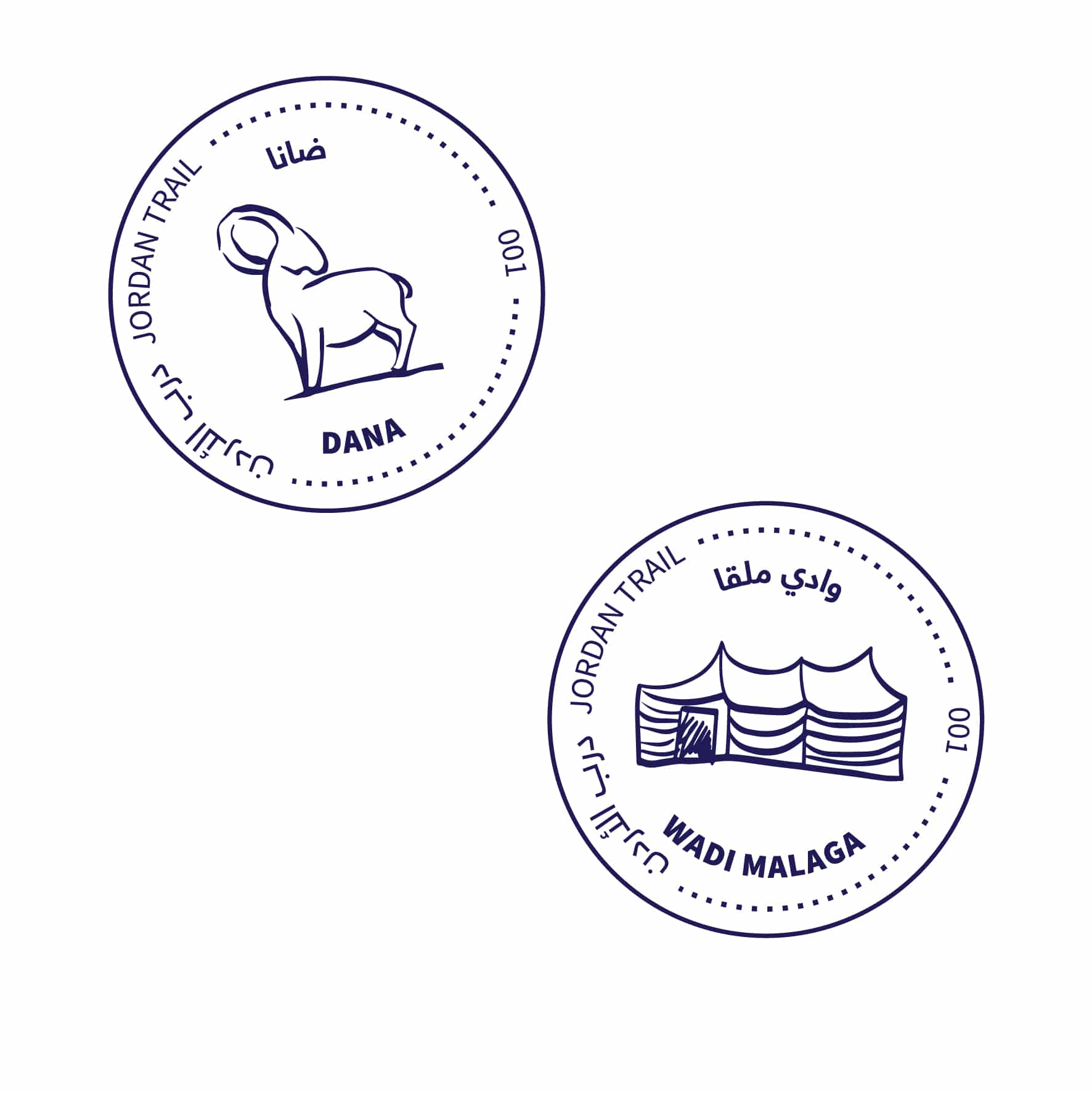
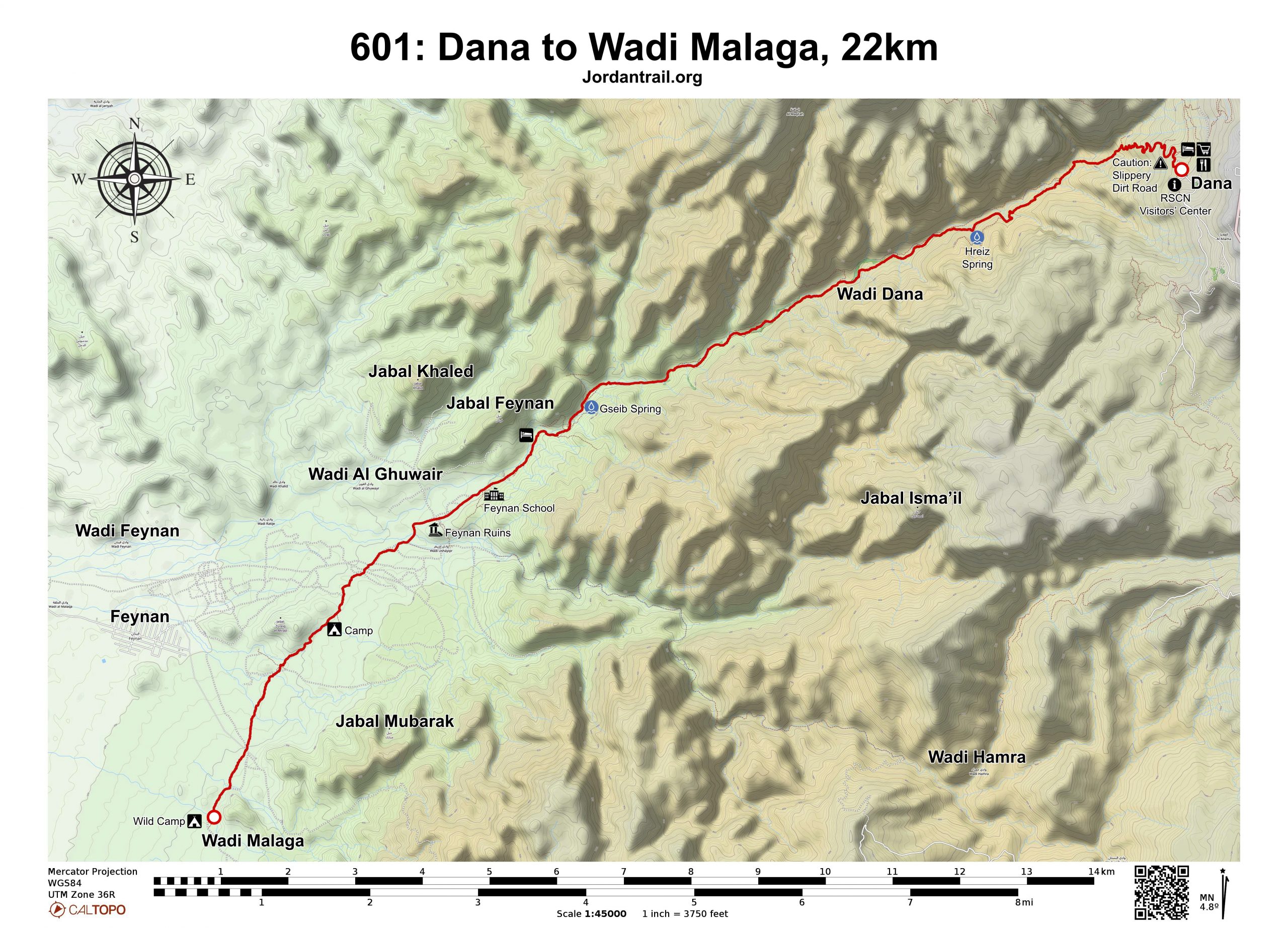
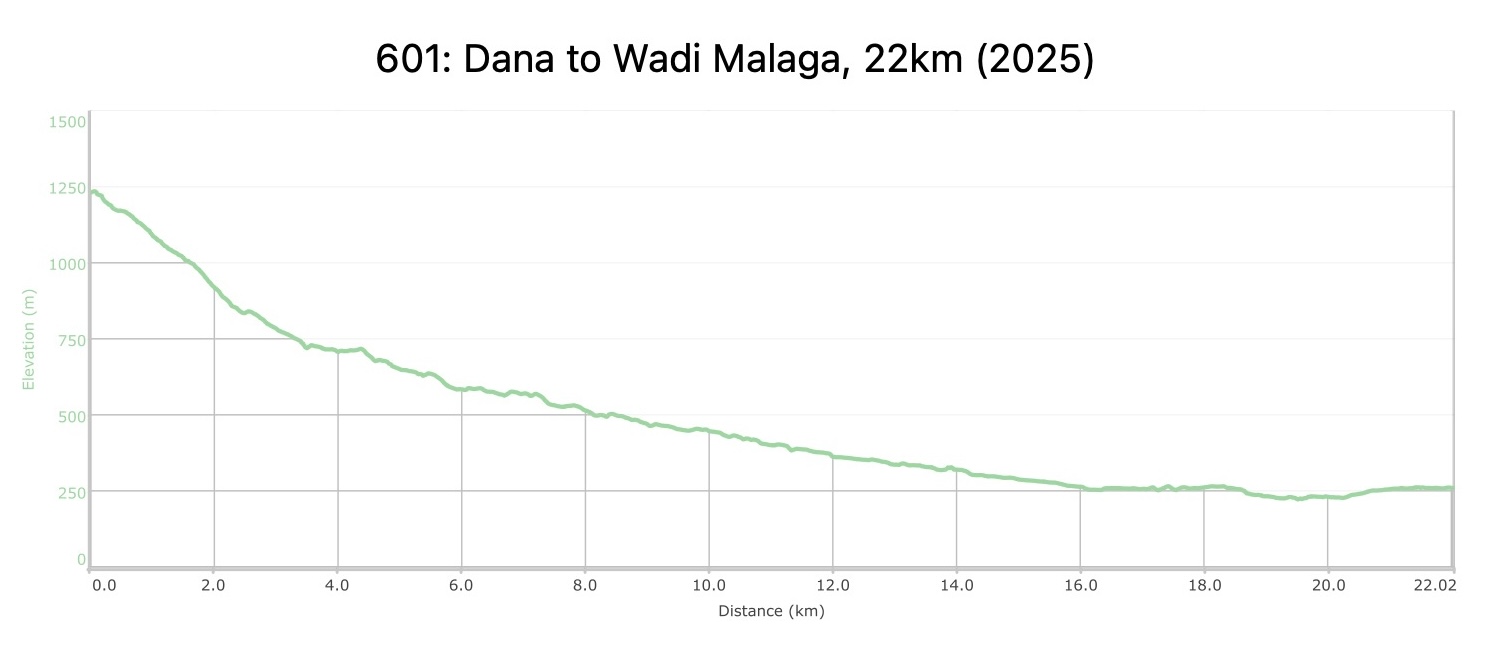
From the village a good track goes down into the long valley of Wadi Dana amidst splendid sandstone scenery. Follow it pleasantly down the valley eventually arriving at the award winning Feynan Eco Lodge which is in an area of Roman copper mines. If you are not spending the night there, continue down as the valley opens out, reaching Bedouin camps where camping facilities are available. Roman ruins and copper smelting sites not far away. Good sunset spot.


Important Note:

Before entering Dana Biosphere Reserve, please contact the reserve’s management to pay the entrance fees.

Dana Biosphere Reserve number: 0799111434

TRANSTOPTATION

From Feynan Ecolodge, a taxi (12.50JD) can be arranged to take you to the Feinan Reception Center; from there, you can try to find private transportation to nearby Gregra village; from here there are daily buses to Amman (6JD) and Aqaba (3JD). Danavillage can be reached by private transport from nearby Tafila or Qadisiya, which have bus connections with Amman and other major towns. Dana Reserve can help arrange a taxi from there.

LOCAL CONTACTS / ACCOMMODATION
  • Wadi Al Ghweir Camp, Mekhled Al Rashaydeh, +962772325758, JT Pass Stamp Wadi Malaga
  • Camp, Ali Al Rashaydeh, +962772465349
  • Feynan Ecolodge, +96265850333
  • Wild camping, Mohammed Def Allah Al Saghairah, +962799927199, JT Pass Stamp Wadi Malaga
  • Wild camping, Ibrahim Al Na'neh, +962772005129, JT Pass Stamp Dana 
THINGS TO SEE
  • Dana Village ruins
  • Dana Biosphere Reserve
  • Feynan Ecolodge
  • Feynan Village
  • Feynan Ruins- Khirbet al-Nahas
FOOD & WATER

Food:

  • Meals available at Feynan lodge

Water:

  • Dana Village
  • Water is available in Feynan and at various springs along the route.
  • There is no water at the Wadi Malaqa wild campsite.
  • Feynan Ecolodgewill only give water if you are buying their reusable soft bottles (7JD). Bathrooms available at Feynman Ecolodge.
TIPS & SAFETY

Tips:

  • Most of the day’s walking is in areas with some loose stones, sand and gravel in wadi beds
  • If hiking self-supported, camping near the water springs in Wadi Abu Orouq and Wadi Quseib on next stage make a manageable longer combined stage around 27km. Be sure to watch the weather for potential flash flood risks if camping in the wadis.

Safety Info:

  • Flash flood dangers – Wadi Abu O’rouq
  • Loose footing – Rocky, sandy surfaces and wadi beds
  • Dehydration/heat exhaustion – There is very little shade along the stage, but occasional small Acacia trees and rock overhanging the sides of wadis that can provide some shade.

Mobile Phone Coverage: Some coverage at higer areas around kilometer 8, and on top of at the end of the stage in Wadi al-Saif.

The Jordan Trail is a newly established trail, and is not marked. It is therefore our strong recommendation that you hire a local guide for your safety as many sections are remote with limited water sources and at times no connectivity.
By downloading these maps/GPX you take full responsibility for their use and accuracy; Jordan Trail Association does not warrant the accuracy or completeness of the information, materials or the reliability of any maps as they provided AS IS without warranty of any kind, either express or implied, including but not limited to, fitness for a particular purpose, or non-infringement ;You acknowledge that any reliance on any such maps, shall be at your sole risk and responsibility as Hiking, backpacking, and other outdoor activities all have potential hazards involving risk of injury or death. Outdoor activities have inherent risks and you should ensure you have the skill level and abilities suitable for the activities in Jordan to partake in them and to take all precaution measures.  Check the data on Google Earth or other Apps or Programs before using them.  The Jordan Trail Association shall not be held responsible for any incidents that may occur during your participation in any activity and/or by using any of the maps/GPX.
AGREE
close-link