SECTION 602 : WADI MALAGA TO RAS AL-FEID

  • HIKES IN THE REGION

  • DAY 2: WADI MALAGA TO RAS AL-FEID

  • Distance: 13.7 km

  • Time: 5 - 7 hours

  • Physical Challenge: Difficult

  • Trail Challenge: Difficult

  • Waymarked: No

To download the GPS track, click icon  

The Jordan Trail is a newly established trail, and is not marked. It is therefore our strong recommendation that you hire a local guide for your safety as many sections are remote with limited water sources and at times no connectivity.
By downloading these maps/GPX you take full responsibility for their use and accuracy; Jordan Trail Association does not warrant the accuracy or completeness of the information, materials or the reliability of any maps as they provided AS IS without warranty of any kind, either express or implied, including but not limited to, fitness for a particular purpose, or non-infringement ;You acknowledge that any reliance on any such maps, shall be at your sole risk and responsibility as Hiking, backpacking, and other outdoor activities all have potential hazards involving risk of injury or death. Outdoor activities have inherent risks and you should ensure you have the skill level and abilities suitable for the activities in Jordan to partake in them and to take all precaution measures.  Check the data on Google Earth or other Apps or Programs before using them.  The Jordan Trail Association shall not be held responsible for any incidents that may occur during your participation in any activity and/or by using any of the maps/GPX.
AGREE
close-link
Click Icon to download the map

IMPORTANT NUMBERS

Tourism Police:

Hotline: 117777
What’s App: +962 7 7099 1814

* When contacting Tourism Police for emergency identify that you are hiking the Jordan Trail, state your nationality, location and map name & number.


JTA office: +962 6 461 0999

(Working Hours: 9:00 a.m. to 5:00 p.m., Sunday- Thursday)

BASIC INFO

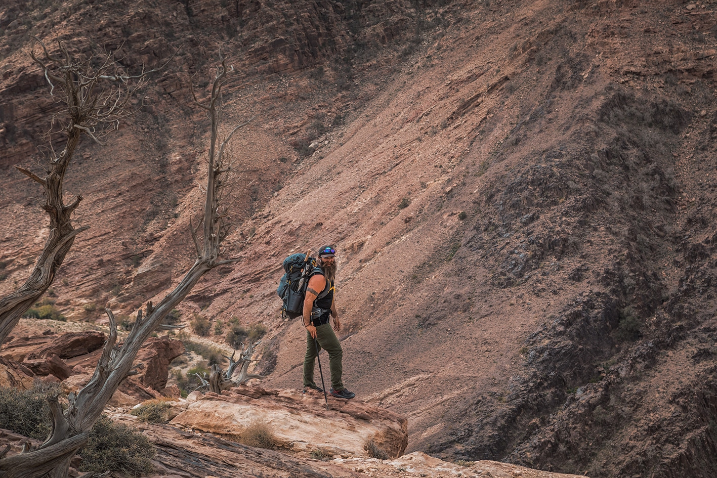
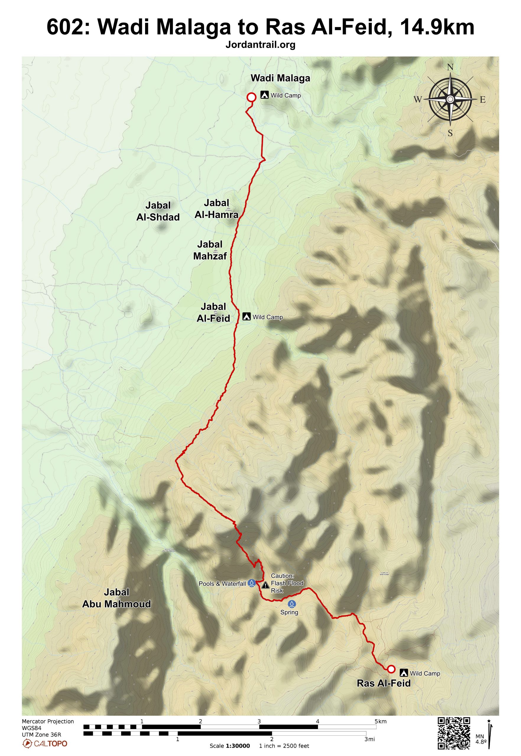
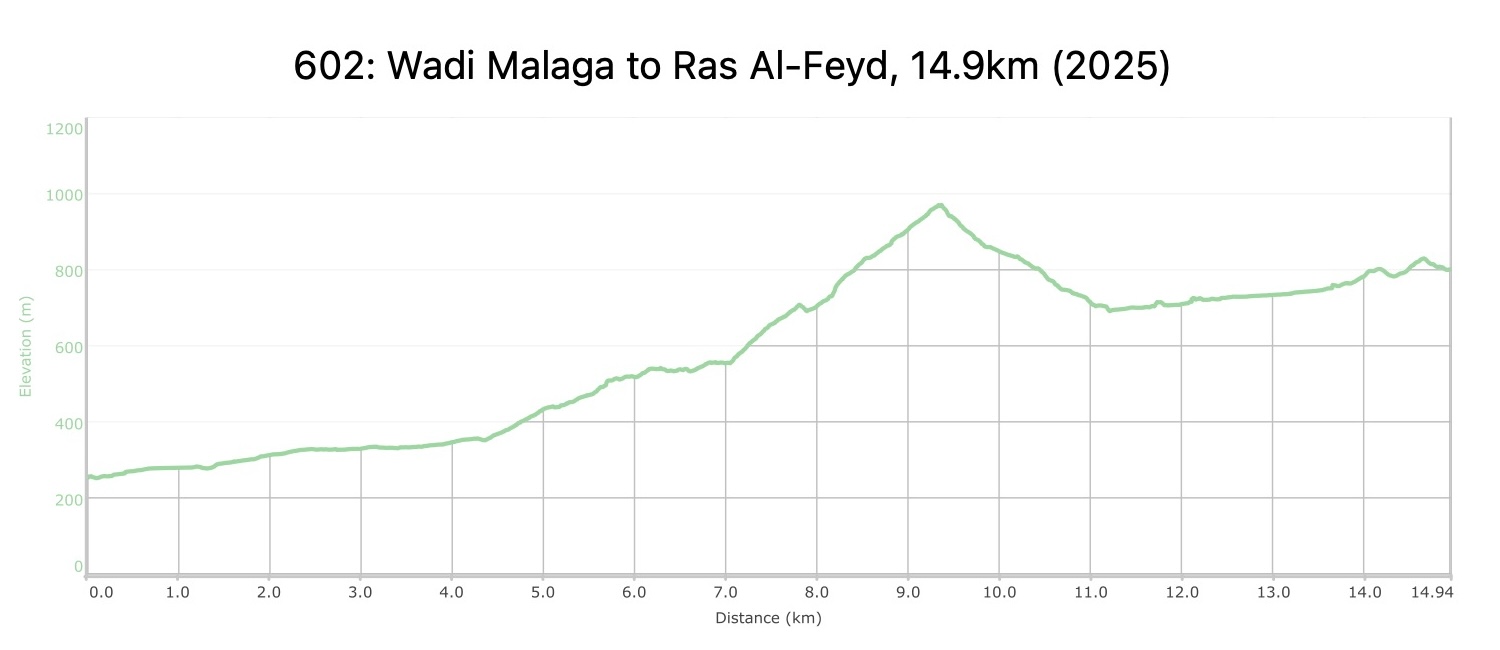
From the Wadi Malaga campsite, head south on 4×4 tracks to cross Wadi Malaga, then turn more due south on footpaths to pass on the eastern side of smaller hills Jabal al-Hamra, Jabal Mahzan and Jabal Barwas. With Wadi Araba to the West and the rising mountains to the East, gradually ascend the slope to also cross Wadi Barwas, Wadi abu Hamdtha and Wadi al-Jilf to reach a point near the shallow wadi to meet an old graded donkey and camel trail starting more steeply up the hillside to the west at 7.5 km.

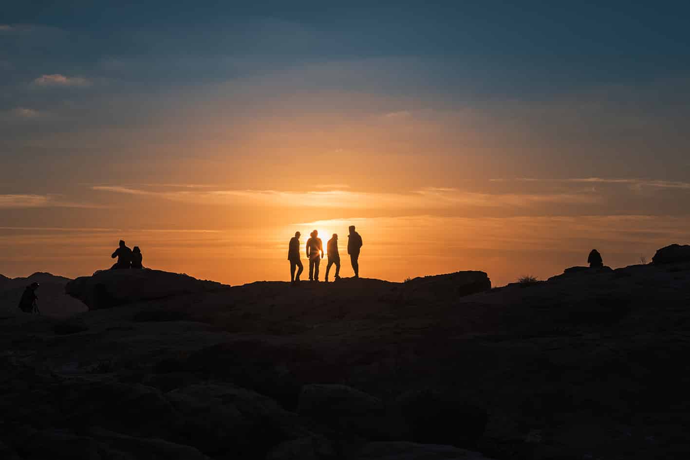
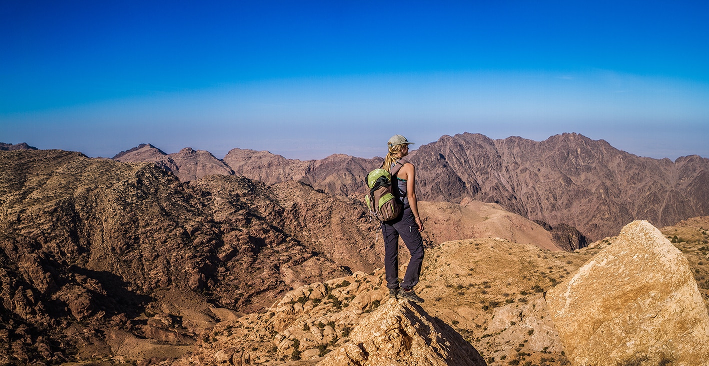
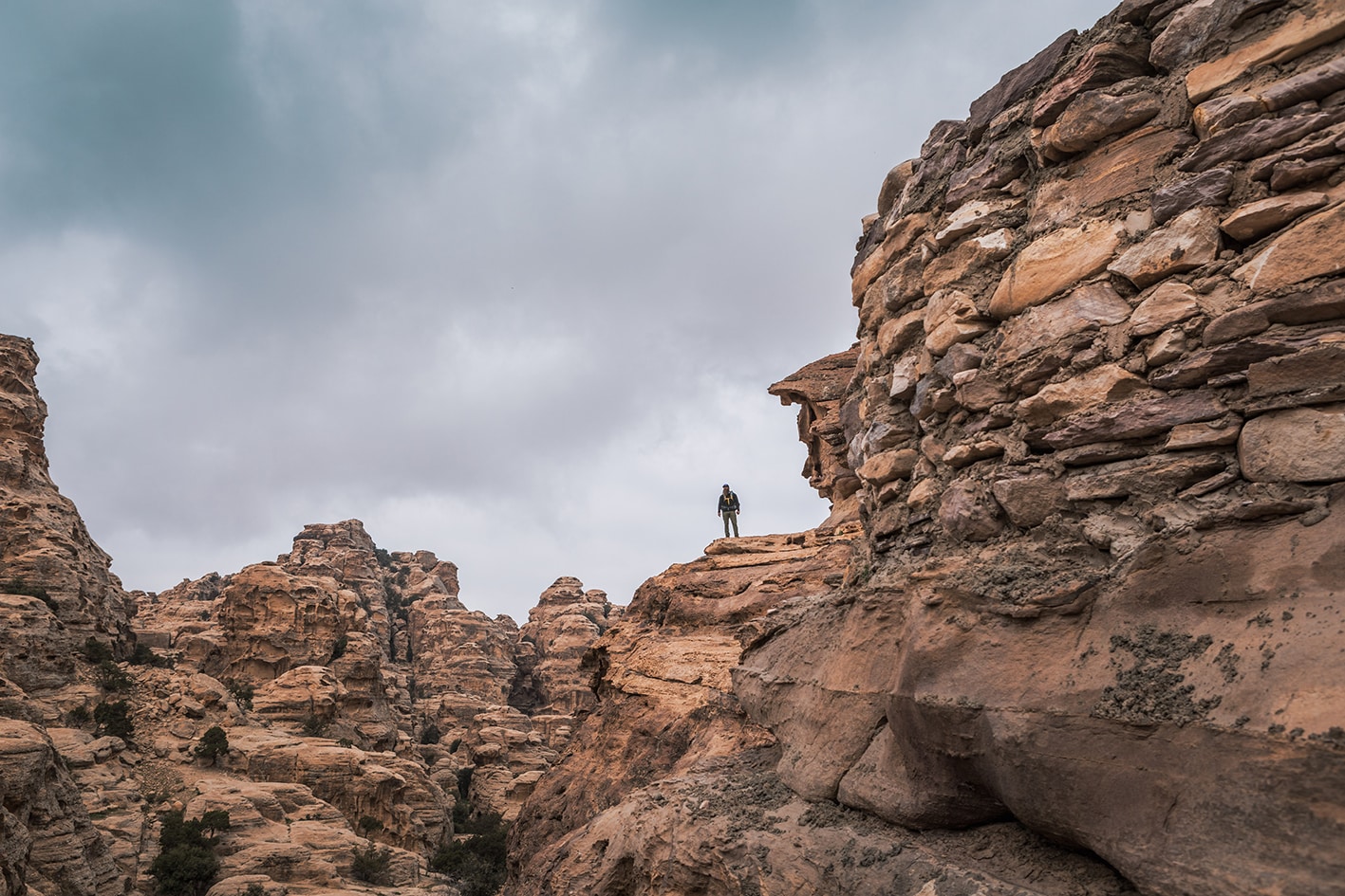
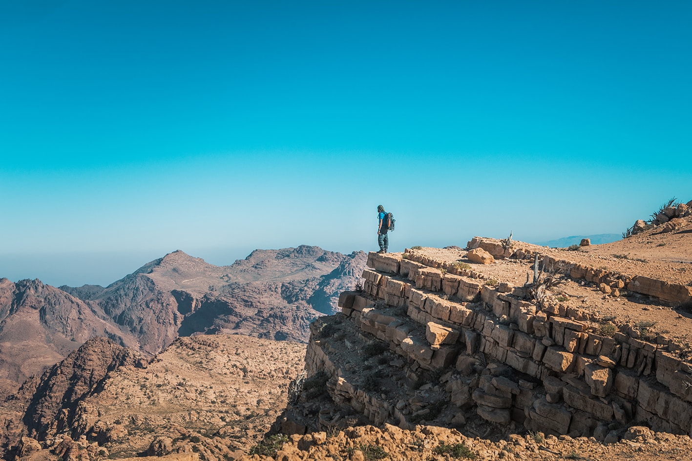
Climb up on this beautifuly-uilt trail on switchbacks through the jagged rocky mountain outcroppings, and take a break to see the expansive view of Wadi Araba’s wash to the west below. Continue along the same path up a wide slot following the old bedouin route reinforced with bridges using Juniper branches and well graded switchbacks. The slot widens to the top where you reach the saddle called Ras Naqb Shdeid, offering breathtaking views in both directions. (The is the last phone signal before Jabal Safaha the following day.) Take a moment to realize you are walking the old main route between Bir al-Saba and Shobak.

Continue downhill finding the same old path to the right side of the saddle, cutting the steep grade down at the top and flattening up as it winds to the left to follow a small gully and meet perenially spring-fed Wadi Feid below. Turn right along Wadi Feid to access a pool above a large dry waterfall, great for cooling down and washing up. The stream/spring in Wadi Feid is the last reliable water source before Little Petra (+24km).

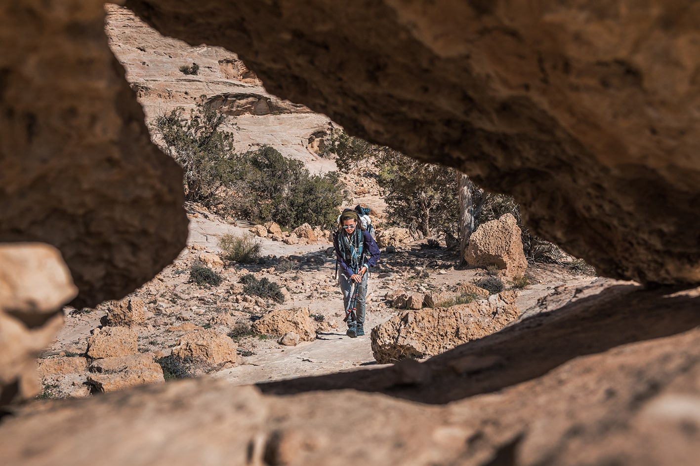
Retrace your steps back and follow Wadi Feid upstream through thick vegetation, watching carefully where a good footpath is available on the left side of the wadi. Pass the remains of an old Nabatean water channel, and be prepared in case you need to wade through a shallow section of the water near the canals. Pass the spring to your right, and continue up the wadi around the bend. The geology shifts to a dark purple sandstone just before a split in the wadi, at a point where an impressive Juniper tree sits above the junction with roots wrapping around the rock to the wadi floor. The stage ends here, with campsite options off and on route listed below.

To access the pickup-accessible campsites (Tor al-Ashour/lower/+1km and Gerasha Salmane/upper/+2km), turn left up a footpath on the hillside (not in the wadi). If continuing on to the next stage, turn right up out of the wadi and make your way up the ridgeline to a gap in large boulders visible on the mountain above past a large cave. If continuing back to the next stage from the campsites, a footpath can cut the corner down and up to the same place (indicated on map).

TRANSTOPTATION

Private transport only. From Wadi al-Malaqa campsite, the closest villages are Feynan and Qureiqra on the Dead Sea Highway. The closest village to the Ras al-Feid area is Jahayir, a 2-hour 4×4-drive away.

Local Contacts / ACCOMMODATION
  • Wild camping, Eid Azazmeh, +962779265511, JT Pass Stamp Ras Al Fayd
  • Wild camping, Mohammad Zannoun, +962788898675, JT Pass Stamp Wadi Malaga
  • Wild camping, Adnan Abu Ghorrah, +962790821239
  • Wild camping, Mustafa Hassasin, +962772680619
  • Homestay, Mouysar Ammarin, +9627772680619
  • Wild camping, Ali Hsaseen, +962772420021, JT Pass Stamp Wadi Malaga
THINGS TO SEE
  • Wadi Araba
  • Naqb Jabal Shdeid
  • Wadi Feyd and Swimming Pools
FOOD & WATER

Food:

  • None on route

Water:

  • Natural water is always available from Wadi Feid and likely in more places during the winter. Be sure to fill up here before leaving for campsites further on (purification required).
  • Water is available approximately 1.5km into Wadi Abu Sakakain (off route)
TIPS & SAFETY

Tips:

  • Boots are helpful as there are many loose rocks (large and small) along the route. Most of the paths used are old and well-graded when steep.
  • Bring a swimsuit and towel for pools
  • The climb up to Ras Naqb Shdeid is long, but not super steep.
  • If self supported, consider the following stages with natural water sources at each day’s end (Dana-Feynan-Wadi Feyd-Little Petra-Petra). Wadi Feyd is not accessible by jeep, and some of the stages are long.

Safety Info:

  • Exposed edges – Some very short sections on way down from Ras Naqb Sheid
  • Flash flood dangers – Wadi Feid, crossing wadis in Wadi Araba
  • Loose footing – Loose rocks exist for much of route.
  • Dehydration/heat exhaustion – It’s wise to get an early start. More shade can be found in second half of the stage.

The Jordan Trail is a newly established trail, and is not marked. It is therefore our strong recommendation that you hire a local guide for your safety as many sections are remote with limited water sources and at times no connectivity.
By downloading these maps/GPX you take full responsibility for their use and accuracy; Jordan Trail Association does not warrant the accuracy or completeness of the information, materials or the reliability of any maps as they provided AS IS without warranty of any kind, either express or implied, including but not limited to, fitness for a particular purpose, or non-infringement ;You acknowledge that any reliance on any such maps, shall be at your sole risk and responsibility as Hiking, backpacking, and other outdoor activities all have potential hazards involving risk of injury or death. Outdoor activities have inherent risks and you should ensure you have the skill level and abilities suitable for the activities in Jordan to partake in them and to take all precaution measures.  Check the data on Google Earth or other Apps or Programs before using them.  The Jordan Trail Association shall not be held responsible for any incidents that may occur during your participation in any activity and/or by using any of the maps/GPX.
AGREE
close-link