SECTION 703:WADI AL-SAIF TO WADI GSEIB

  • HIKES IN THE REGION

  • DAY 3: WADI AL-SAIF TO WADI GSEIB

  • Distance: 12.3 km

  • Time: 3 - 4.5 hours ​

  • Physical Challenge: Moderate

  • Trail Challenge: Moderate

  • Waymarked: No

To download the GPS track, click icon  

The Jordan Trail is a newly established trail, and is not marked. It is therefore our strong recommendation that you hire a local guide for your safety as many sections are remote with limited water sources and at times no connectivity.
By downloading these maps/GPX you take full responsibility for their use and accuracy; Jordan Trail Association does not warrant the accuracy or completeness of the information, materials or the reliability of any maps as they provided AS IS without warranty of any kind, either express or implied, including but not limited to, fitness for a particular purpose, or non-infringement ;You acknowledge that any reliance on any such maps, shall be at your sole risk and responsibility as Hiking, backpacking, and other outdoor activities all have potential hazards involving risk of injury or death. Outdoor activities have inherent risks and you should ensure you have the skill level and abilities suitable for the activities in Jordan to partake in them and to take all precaution measures.  Check the data on Google Earth or other Apps or Programs before using them.  The Jordan Trail Association shall not be held responsible for any incidents that may occur during your participation in any activity and/or by using any of the maps/GPX.
AGREE
close-link
Click Icon to download the map
IMPORTANT NUMBERS

Tourism Police:

Hotline: 117777
What’s App: +962 7 7099 1814

* When contacting Tourism Police for emergency identify that you are hiking the Jordan Trail, state your nationality, location and map name & number.


JTA office: +962 6 461 0999

(Working Hours: 9:00 a.m. to 5:00 p.m., Sunday- Thursday)

BASIC INFO
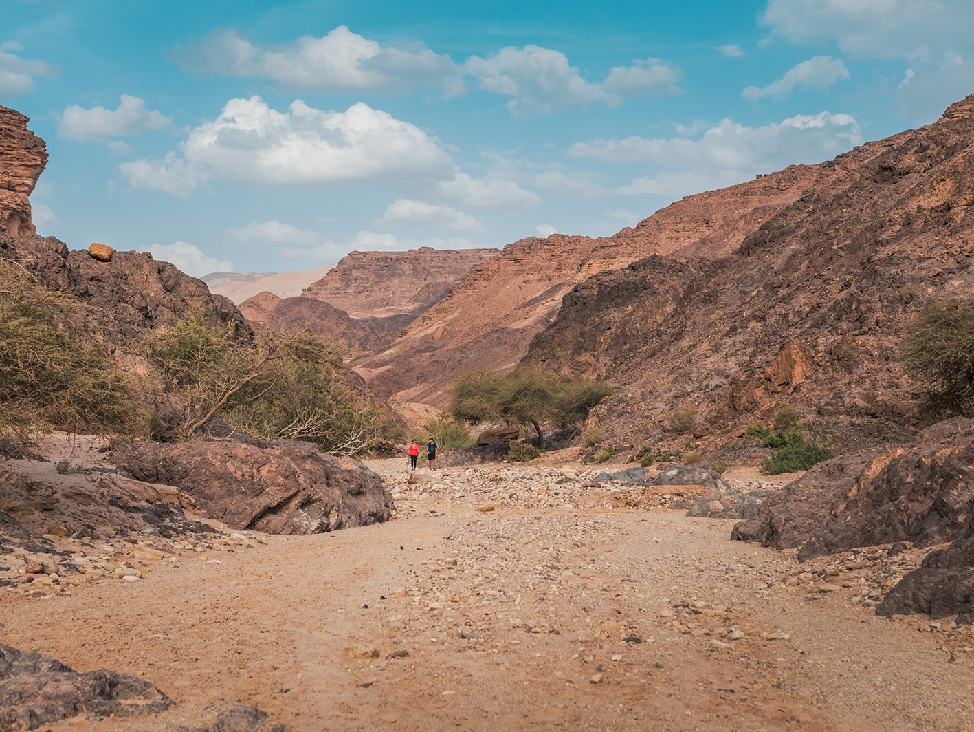
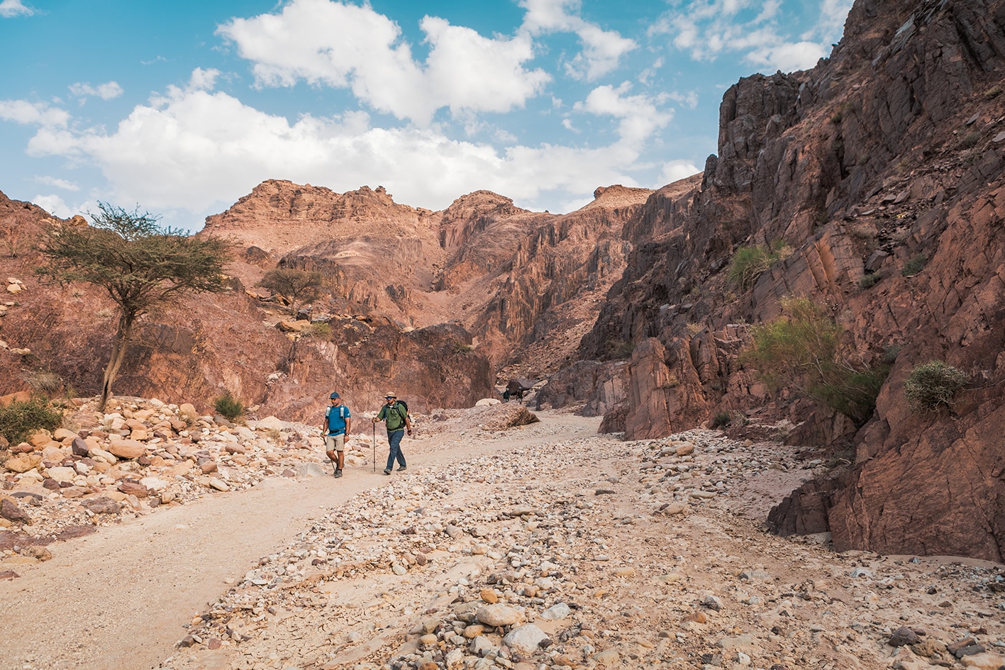
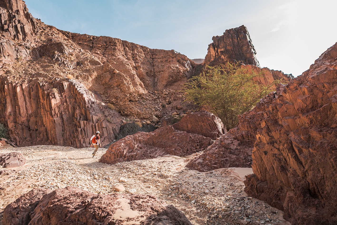
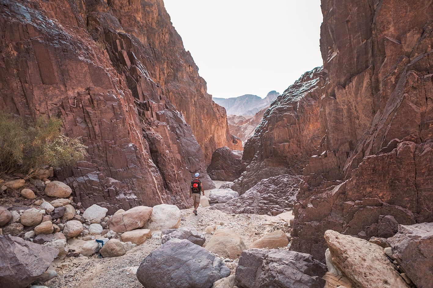
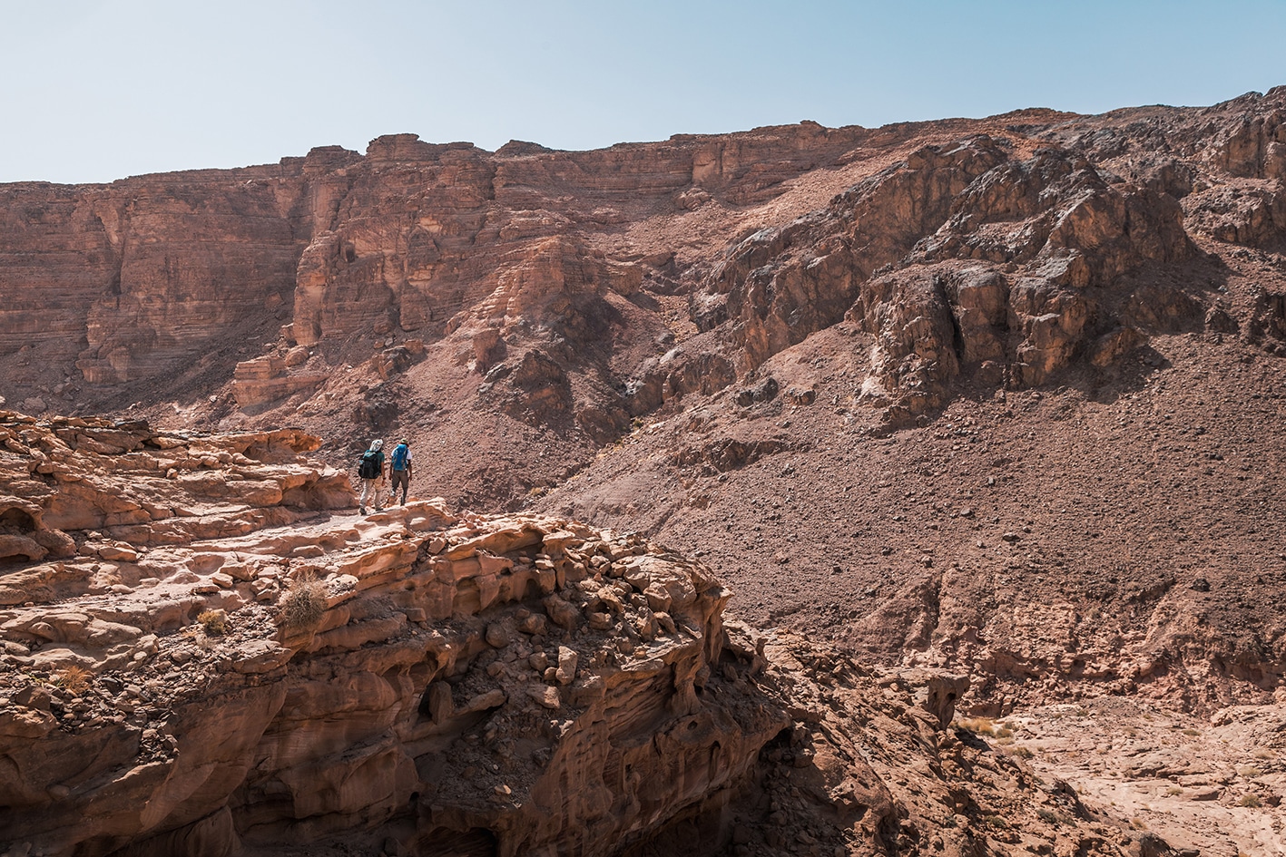
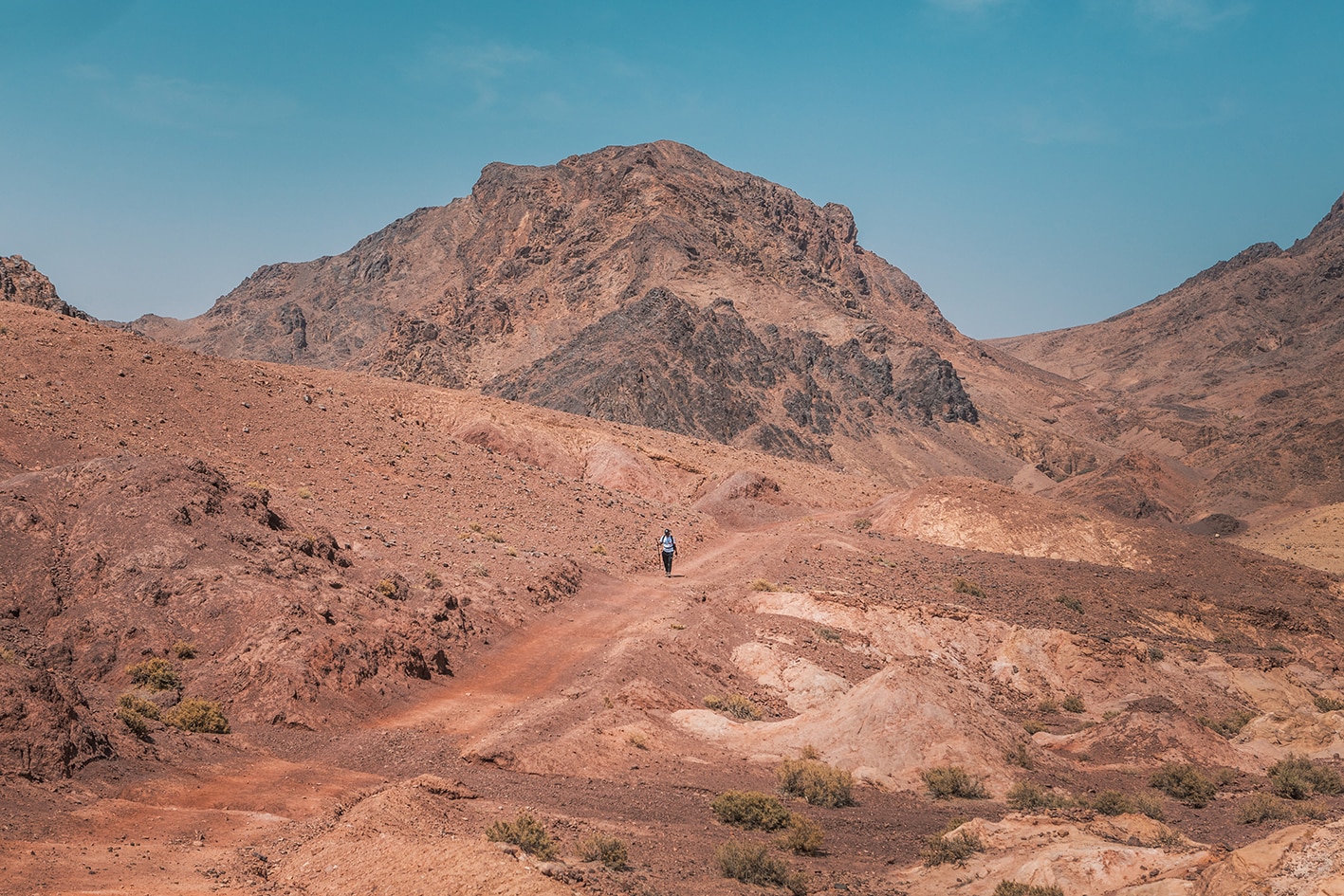
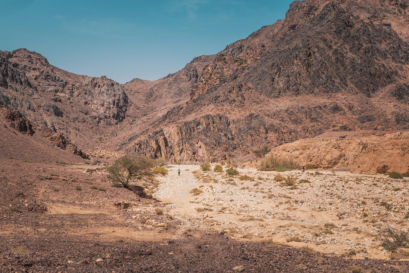
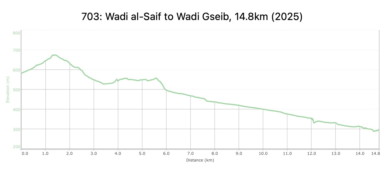
Soon after leaving the camp, the trail rises up to reach the head of Wadi Al-Seif then descending steeply to join Wadi Mshazza. Once again in the midst of wild mountains, the trail now heads South over a low pass into the next valley, leaving that to cross another pass to reach the head of Wadi Gseib. This descends generally South before bending W to the next camp on a shoulder around 4 km from the road in Wadi Araba.
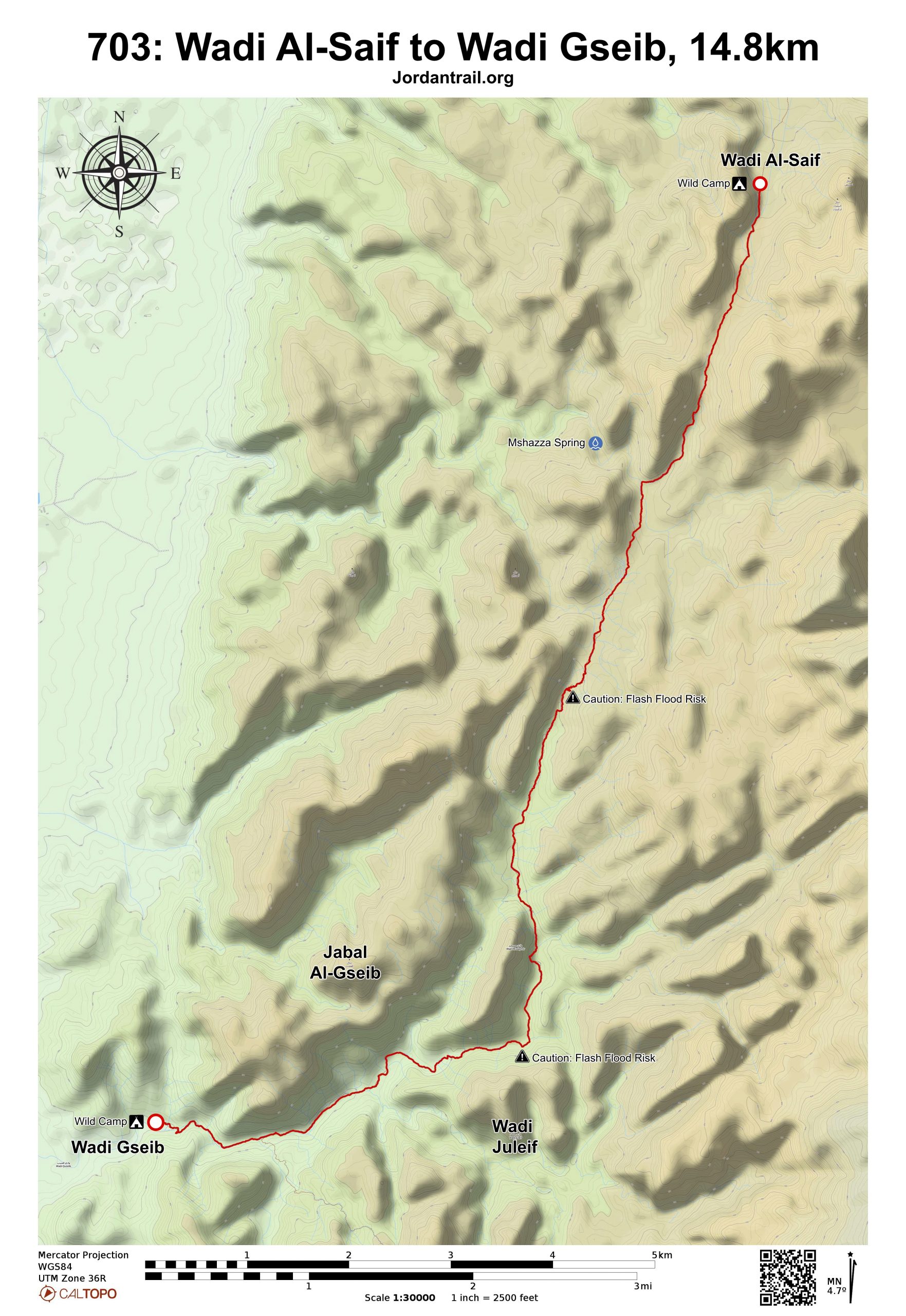
TRANSTOPTATION
  • Jeep only for first few kilometers of the stage.
  • From the Wadi Gseib campsite, it is approximately 4km to main road on 4×4 track.
LOCAL CONTACTS / ACCOMMODATION
  • Wild camping, Ali Saideen, +962777049506, JT Pass Stamps Wadi Gseib and Gaa' Mriebed
  • Wild camping, Mohammad Saideen(Abu Asem), +962772117421
THINGS TO SEE
  • Wadi Gseib
  • Ancient cliff houses; several springs and wells
  • Camels
  • Colorful geology
FOOD & WATER

Food:

  • None. The next village is at Humaima village, 2-3 days father along the trail.

Water:

  • Water can be found from pools noted near Wadi Gseib campsite, which may require some digging. Be sure to purify before use.
TIPS & SAFETY

Tips:

  • This day’s route is mostly easy walking, with just some sand and gravely pebbles in various sections of the wadis.
  • In the Wadi Gseib bed just uphill from the campsite’s palm tree are small pools, which can be found year round and utilized for drinking or washing. This may require digging into the ground if pools are shallow or appear dry. From the campsite, it’s about 4km out to the main road along a 4×4.
  • Periodic trees offer shade on this short day stage. You may wish to combine this with either the previous or next stage.

Safety Info:

  • Flash flood dangers – Wadi Mshazza (cross only), Wadi Gseib
  • Loose footing – Rocky, sandy surfaces for much of route, mostly in wadi beds
  • Dehydration/heat exhaustion – Shade can be found from periodic Acacia trees and in shade from wadi sides, especially early and late in the day.

Mobile Phone Coverage: On the rock at beginning of stage in Wadi al-Saif and at the Wadi Quseib campsite.

The Jordan Trail is a newly established trail, and is not marked. It is therefore our strong recommendation that you hire a local guide for your safety as many sections are remote with limited water sources and at times no connectivity.
By downloading these maps/GPX you take full responsibility for their use and accuracy; Jordan Trail Association does not warrant the accuracy or completeness of the information, materials or the reliability of any maps as they provided AS IS without warranty of any kind, either express or implied, including but not limited to, fitness for a particular purpose, or non-infringement ;You acknowledge that any reliance on any such maps, shall be at your sole risk and responsibility as Hiking, backpacking, and other outdoor activities all have potential hazards involving risk of injury or death. Outdoor activities have inherent risks and you should ensure you have the skill level and abilities suitable for the activities in Jordan to partake in them and to take all precaution measures.  Check the data on Google Earth or other Apps or Programs before using them.  The Jordan Trail Association shall not be held responsible for any incidents that may occur during your participation in any activity and/or by using any of the maps/GPX.
AGREE
close-link