SECTION 705: WADI AHEIMAR TO AL-HUMEIMA

  • HIKES IN THE REGION

  • DAY 5: WADI AHEIMAR TO HUMEIMA

  • Distance: 26.3 km

  • Time: 7 - 9 hours ​

  • Physical Challenge: Difficult

  • Trail Challenge: Moderate

  • Waymarked: No

To download the GPS track, click icon  

The Jordan Trail is a newly established trail, and is not marked. It is therefore our strong recommendation that you hire a local guide for your safety as many sections are remote with limited water sources and at times no connectivity.
By downloading these maps/GPX you take full responsibility for their use and accuracy; Jordan Trail Association does not warrant the accuracy or completeness of the information, materials or the reliability of any maps as they provided AS IS without warranty of any kind, either express or implied, including but not limited to, fitness for a particular purpose, or non-infringement ;You acknowledge that any reliance on any such maps, shall be at your sole risk and responsibility as Hiking, backpacking, and other outdoor activities all have potential hazards involving risk of injury or death. Outdoor activities have inherent risks and you should ensure you have the skill level and abilities suitable for the activities in Jordan to partake in them and to take all precaution measures.  Check the data on Google Earth or other Apps or Programs before using them.  The Jordan Trail Association shall not be held responsible for any incidents that may occur during your participation in any activity and/or by using any of the maps/GPX.
AGREE
close-link
Click Icon to download the map
IMPORTANT NUMBERS

Tourism Police:

Hotline: 117777
What’s App: +962 7 7099 1814

* When contacting Tourism Police for emergency identify that you are hiking the Jordan Trail, state your nationality, location and map name & number.


JTA office: +962 6 461 0999

(Working Hours: 9:00 a.m. to 5:00 p.m., Sunday- Thursday)

BASIC INFO

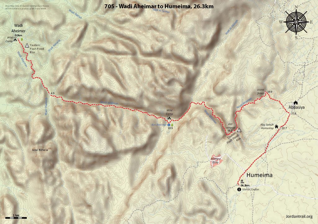
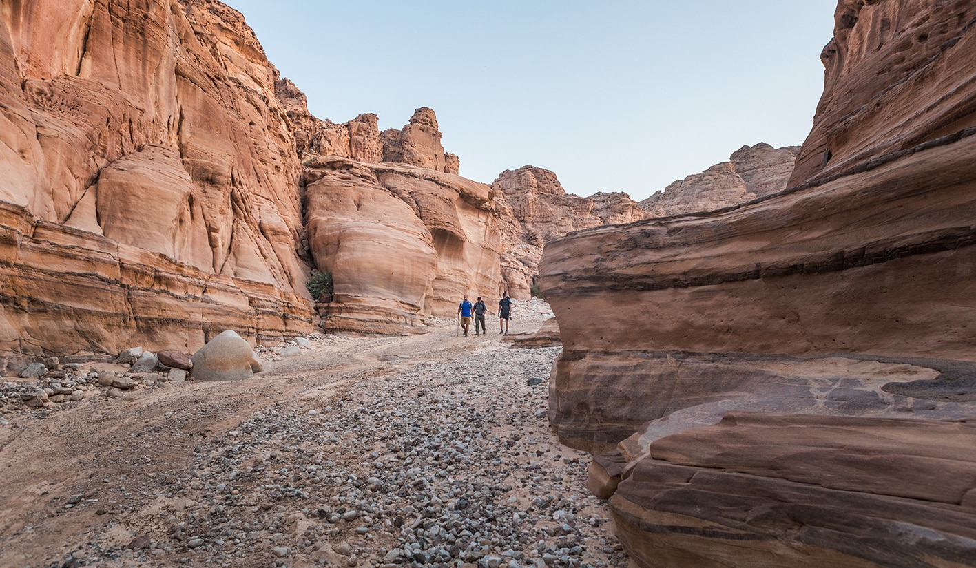
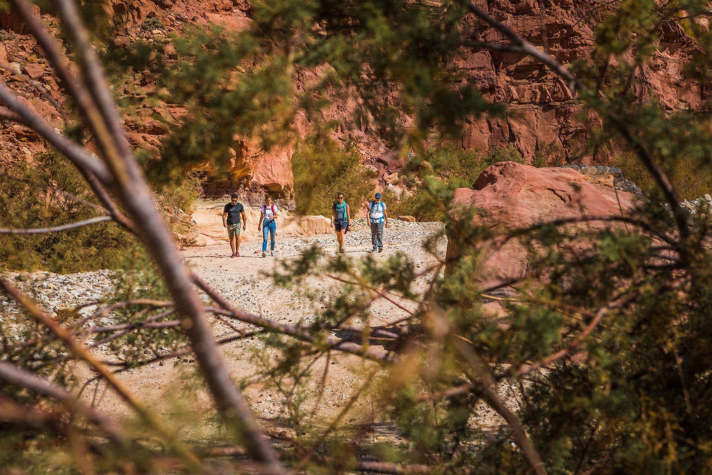
From the Wadi Aheimar campsite, head left up Wadi Aheimar to the south, staying in this same wadi all the way up to the plateau at 21km. Wadi Aheimar will have other wadis flowing into it as you head upwards, but be sure to stay in the main wadi stream and you’ll be fine navigation-wise for most of the day.

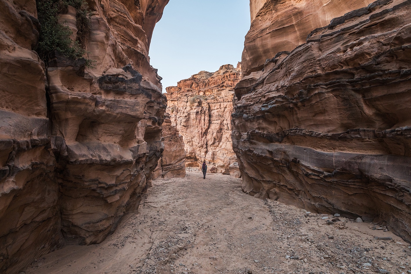
Continue in this wide wadi bed in a southeast direction, when the 4×4 trail will end in a few kilometers. At this point, the wadi deepens and tightens, turning back and forth more and more. At a major split in the wadi, stay left in the main valley. The rock will change to darker granite, and as you head due east in a very straight line, you’ll be in the shade until about the 11km mark.

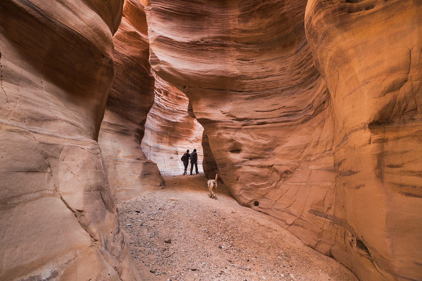
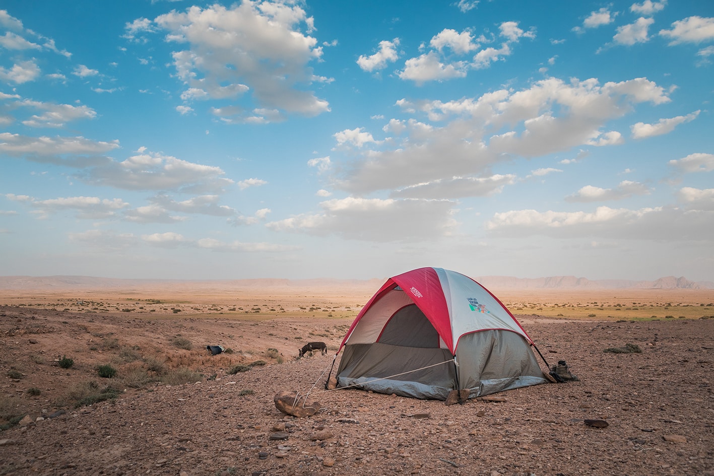
As the wadi widens, there’s a place for a wild campsite near Ain Aheimar to the right of the trail, where the wadi walls turn to sandstone. Some water pools may be present in the wadi if it has rained recently. The spring is accessible through small slot with a large fig tree to the south, just opposite the wider part of the wadi. Continue onward through pushes in the wadi, staying right at the next major split through a mixture of granite and sandstone boulders. Soon the wadi turns left/east again through a beautiful sandstone Siq, the highlight of the day through red and white sandstone. Continue up as the stone turns to white chalky sandstone, and after you see a small stone fence on the left, look for a faint footpath to the right, which winds up and out of the valley.

Continue up this path until you reach the plateau, and head straight to the Bedouin village of Abbasiya. Make your way to the main dirt road, and head southwest past Abu Sabah’s tent on the edge of town, continuing for 3.7 km to the ruins of Humeima, where the stage ends. The visitor center at Humeima is a bit run down and doesn’t have water or any services, but a local caretaker could likely call a taxi for you. Be sure to stay wide of the military area located to the west.

TRANSTOPTATION
  • Wadi Aheimar is not accessible by 4×4 after 4km.
  • Private transport only from Abasiya and the Humeima
  • Public transport to new Humeima along main highway
Local Contacts / Accommodation
  • Wild camping, Sabah Al Manajaa, +962778377254, JT Pass Stamps Al Humeima and Jabal Kharazah 
  • Wild camping, Eid Al Managa'h, +962796318709, JT Pass Stamp Wadi Ahaimer 
THINGS TO SEE
  • Wadi Aheimar
  • Abasiya Village
  • Humeima
  • Humeima Village
FOOD & WATER

Food:

  • None on route; supplies are available off-route in New Humeima beyond stage end.

Water:

  • Ain Aheimar in wadi at 10.9km (purification required)
  • Pools along wadi in general if recently raining (purification required)
  • Abbasiya village mosque at 21.8km
  • None at the Humeima visitor center
  • Off route in New Humeima
TIPS & SAFETY

Tips:

  • Be very aware of the weather and risk of flash floods for this section. It likely has the highest risk of the entire Jordan Trail, given a long section in a narrow canyon and its remote area without mobile phone coverage for much of the previous day.
  • Some sections of Wadi Aheimar are rocky, but mostly it’s fairly easy walking. The day’s distance is a bit long, but climbing is very gradual overall.
  • If going uphill from the west and starting early, you’ll be in the shade for almost the entire wadi as the sun changes locations throughout the day.
  • Do not attempt to take a shortcut from the slot canyon in Wadi Aheimar to the Humeima ruins. The mapped out route is very intentional in finding both a safe trail out of the wadi, and avoiding military area, both which present a danger to hikers veering off trail.
  • If not stopping at Humeima ruins, it’s possible to take a shortcut from Abassiya and walk more in the direction of New Humeima, where supplies are available.

Safety Info:

  • Flash flood dangers – There is a risk along most of Wadi Aheimar (especially in the narrow canyon/siq), which is the longest wadi walking for all of the Jordan Trail. It’s critical to check the weather beforehand and not take any risks.
  • Loose footing – Some gravel and sand in wadi, but nothing dangerous
  • Dehydration/heat exhaustion – Not a big factor as there is shade from the high walls of the wadi.
  • Military base – There is a large military area and base near the Humeima ruins, which may have training exercises with live fire. Officers may come out to see who is visiting the Humeima ruins. Obtaining a note from the JTA beforehand to carry with you is helpful in explaining your presence.

Mobile Phone Coverage: None in Wadi Aheimar. Once out of wadi to saddle, good coverage exists all the way.

The Jordan Trail is a newly established trail, and is not marked. It is therefore our strong recommendation that you hire a local guide for your safety as many sections are remote with limited water sources and at times no connectivity.
By downloading these maps/GPX you take full responsibility for their use and accuracy; Jordan Trail Association does not warrant the accuracy or completeness of the information, materials or the reliability of any maps as they provided AS IS without warranty of any kind, either express or implied, including but not limited to, fitness for a particular purpose, or non-infringement ;You acknowledge that any reliance on any such maps, shall be at your sole risk and responsibility as Hiking, backpacking, and other outdoor activities all have potential hazards involving risk of injury or death. Outdoor activities have inherent risks and you should ensure you have the skill level and abilities suitable for the activities in Jordan to partake in them and to take all precaution measures.  Check the data on Google Earth or other Apps or Programs before using them.  The Jordan Trail Association shall not be held responsible for any incidents that may occur during your participation in any activity and/or by using any of the maps/GPX.
AGREE
close-link