Details
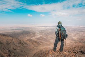
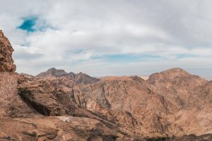
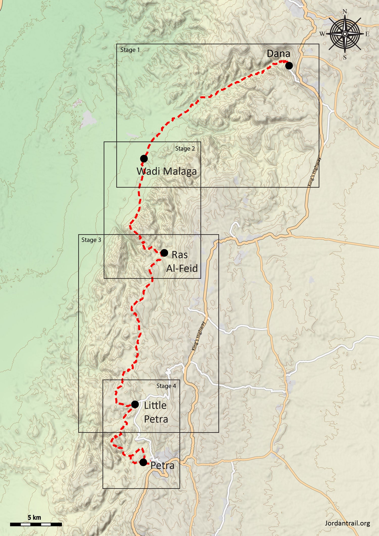
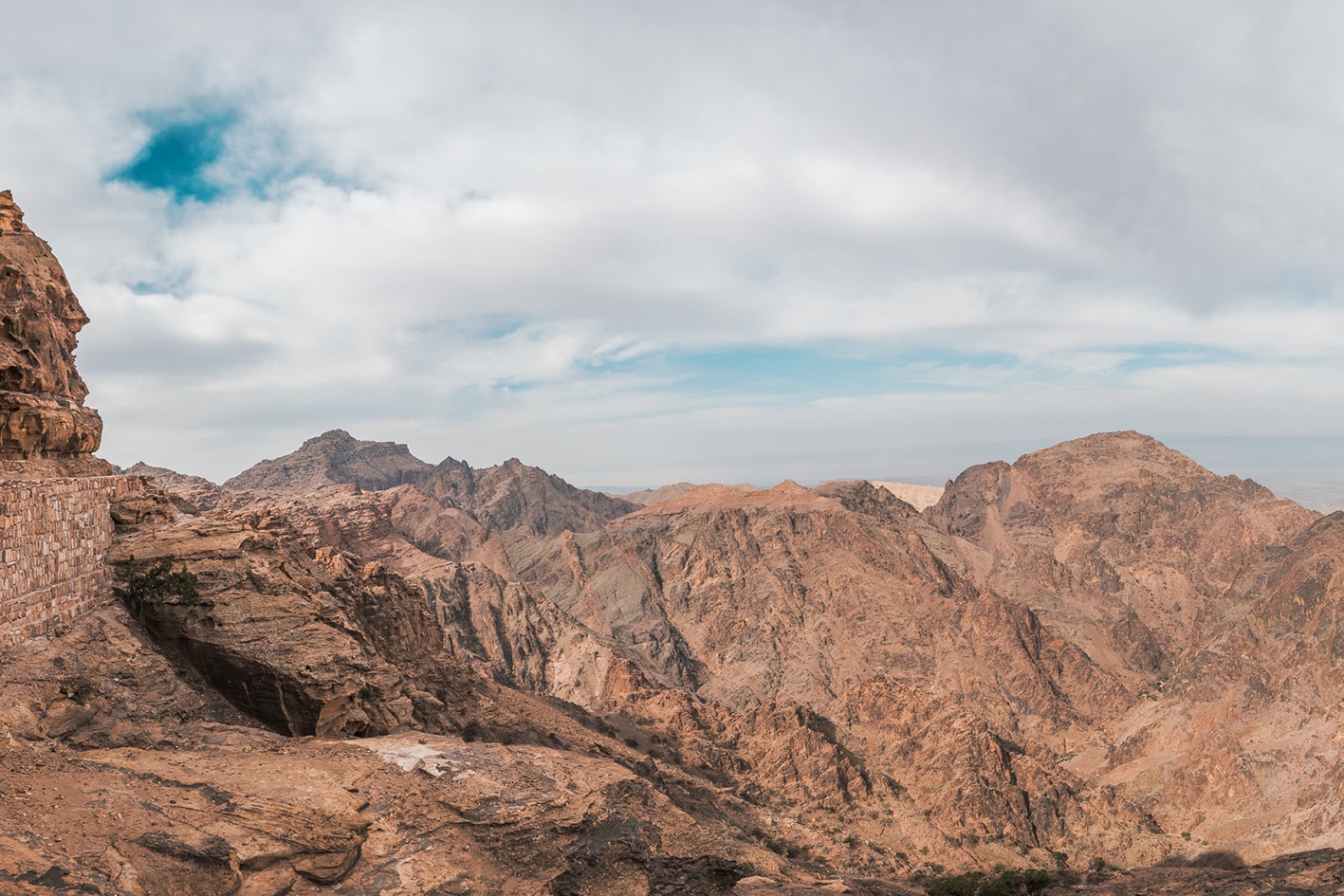
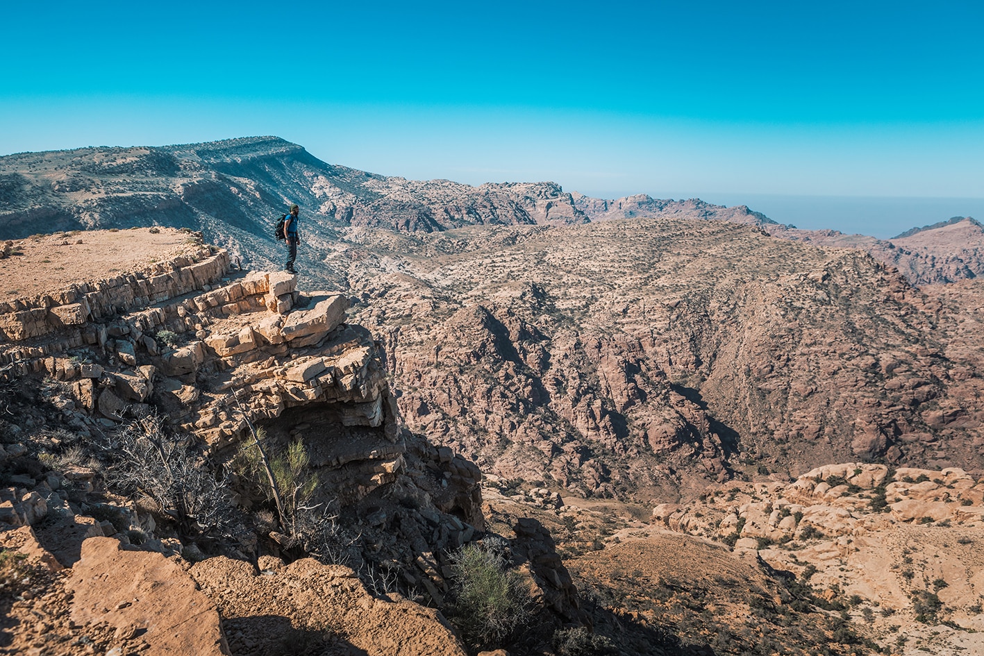
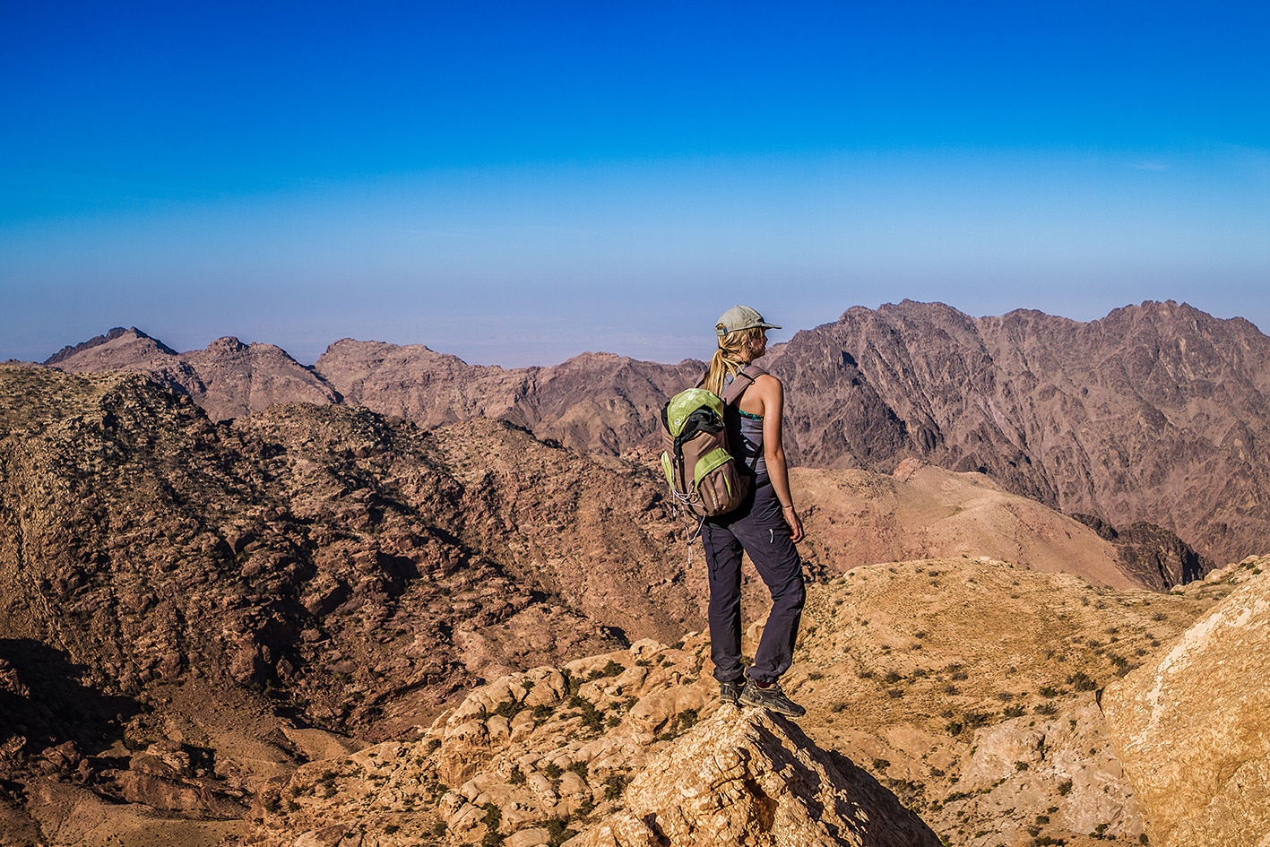
Considered one of the finest multi-day hikes in the world and recognized by National Geographic as one of the world's 15 best hikes, this section descends from the Dana Biosphere Reserve passing by ancient copper mines near Feynan into the Araba Valley before climbing through rugged mountains toward the Nabataean capital of Petra. The landscape shifts continuously, from epic mountaintops and hidden canyons to towering ridgelines and ancient sites, the trek offers constant variety. The journey culminates at one of the world’s most iconic archaeological wonders.
Important Notes:
Please contact Dana Biosphere Reserve management before entering the reserve to pay the entrance fees. Phone Number: 0799111434
Entry to Petra requires a pass, which now can be purchased from the new ticket office at The Nabatean cultural village without having to first visit the main Petra ticket office in Wadi Musa. The new ticket office can be viewed in the new Google Maps Street View here: https://maps.app.goo.gl/Q4icrHaa94rcucWdA
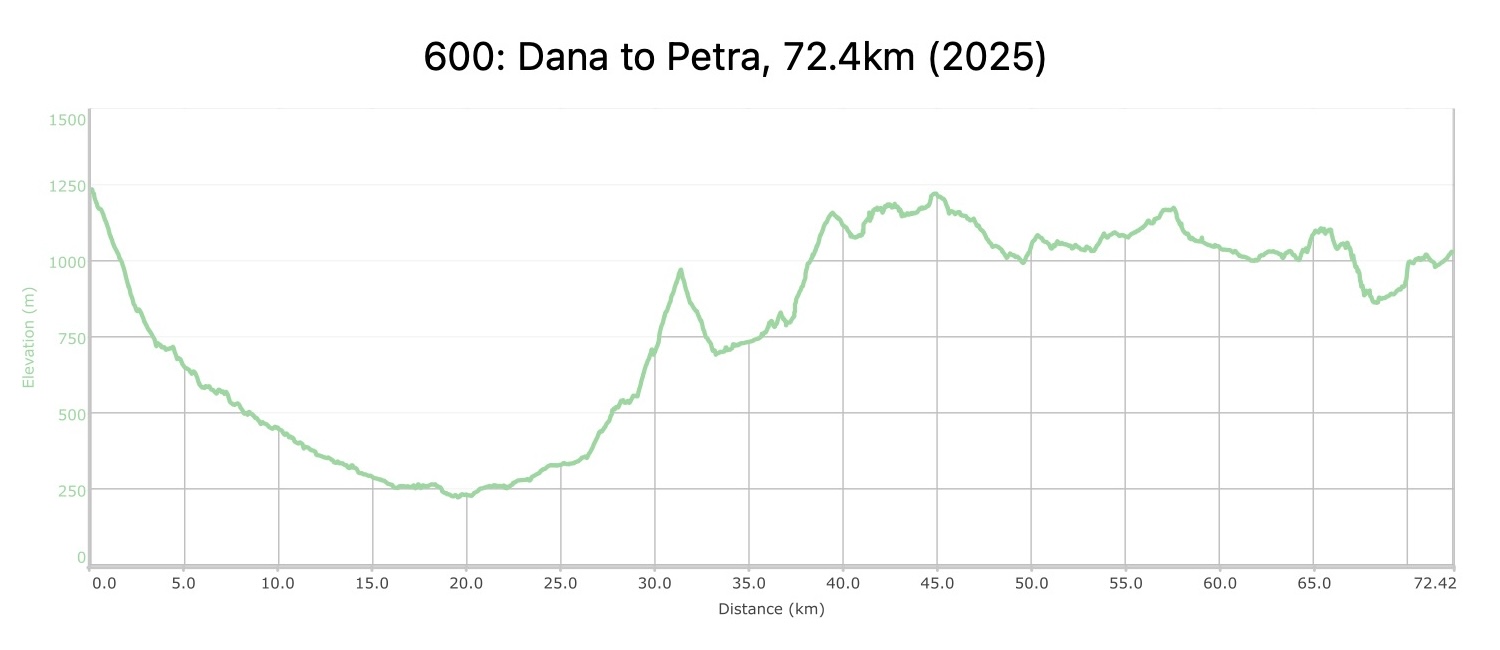
4 days Distance: 72.4 km Ascent: 2,825 m Descent: 3,027 m Max Elevation: 1,236 m Min Elevation: 221 m