REGION 7: PETRA TO RUM

  • Details

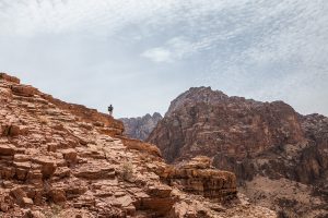
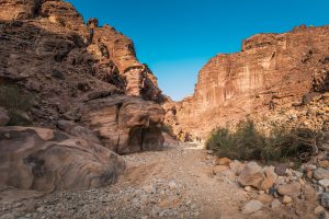
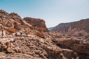
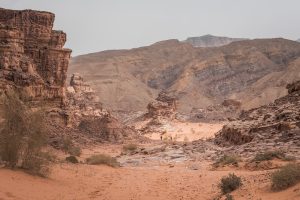
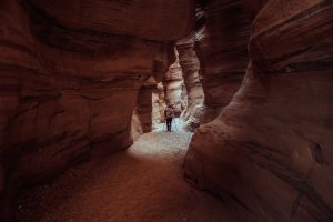
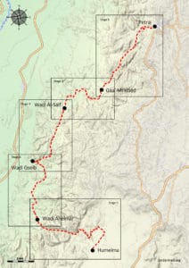
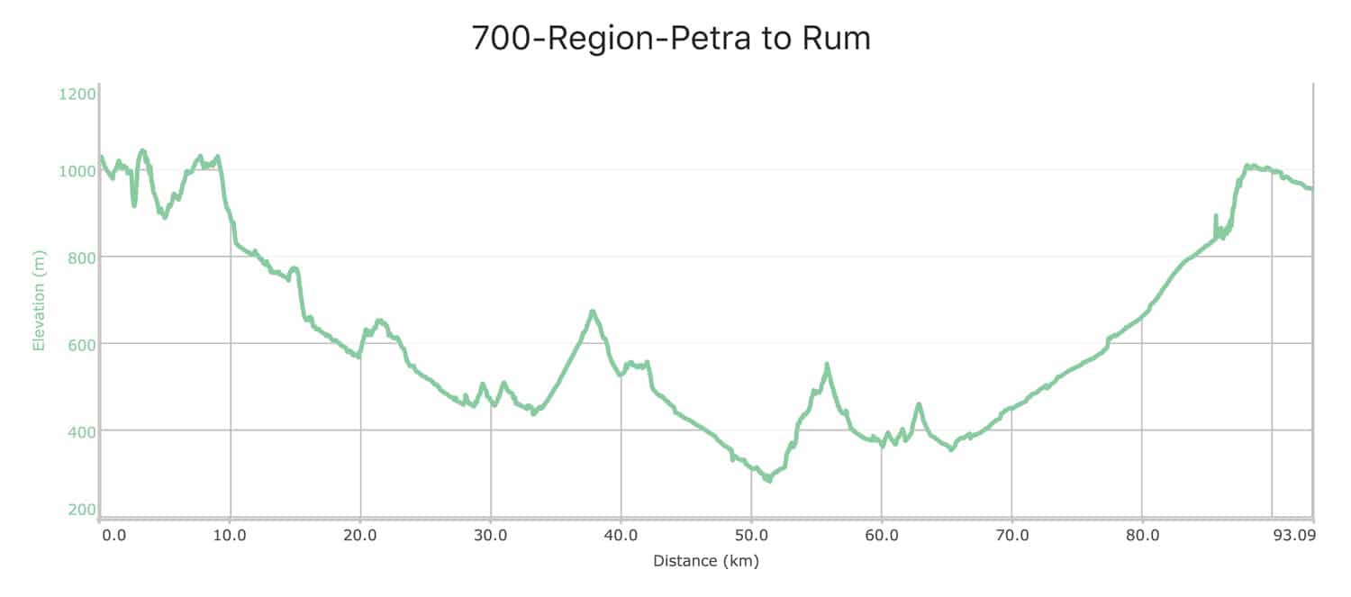
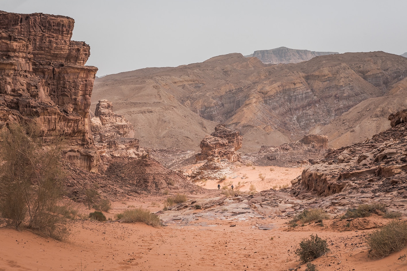
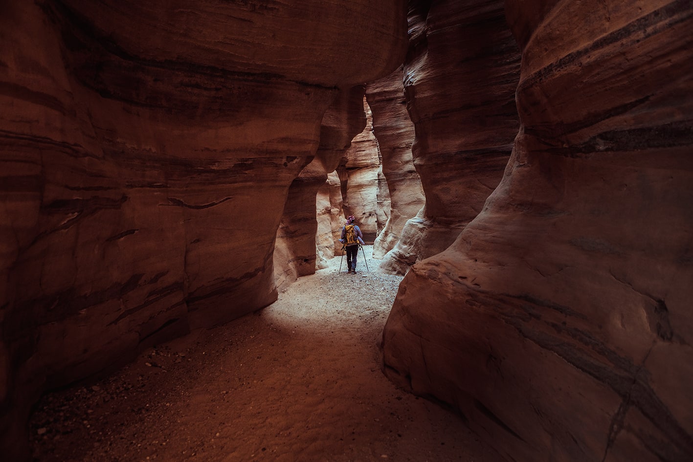
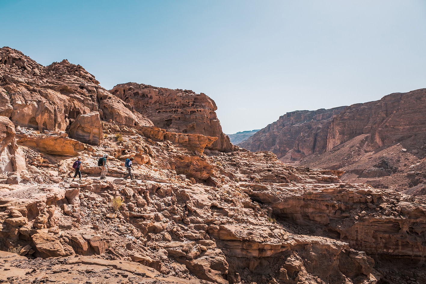
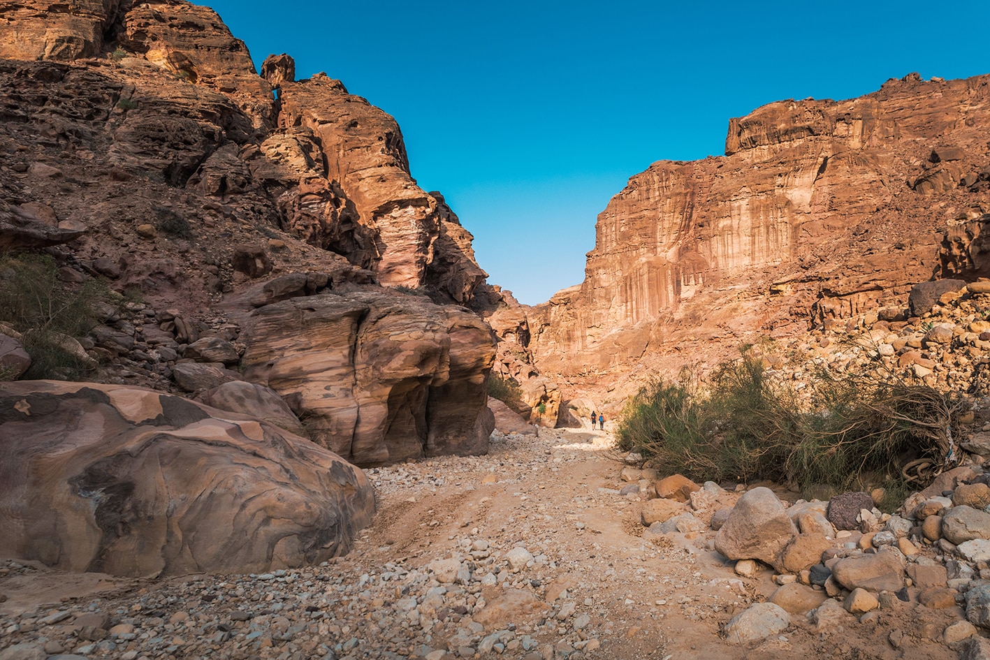
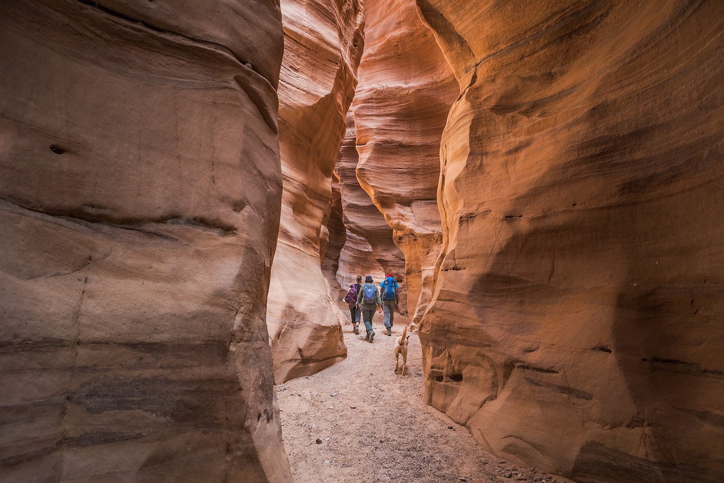
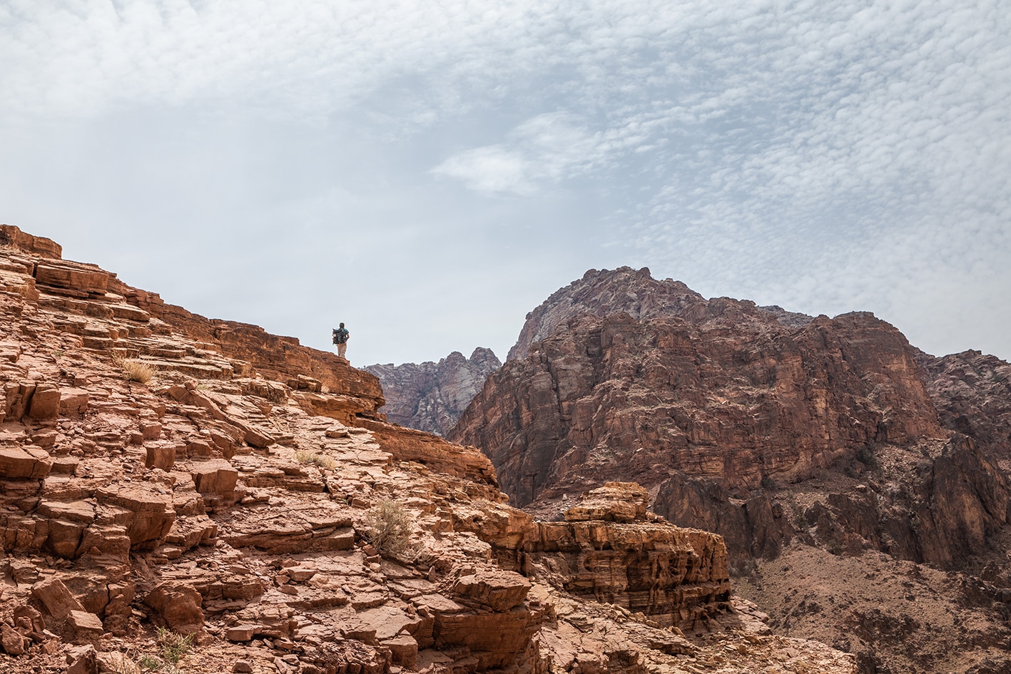
    Connecting the two legendary sites of Petra and Wadi Rum is a week-long trek across one of the longest stretches of wilderness on the Jordan Trail. Here in the empty, high-elevation desert, stargazing is at its best, and silent contemplation comes naturally. Beginning with deep, rugged wadis and leading into open, sandy plains surrounded by otherworldly sandstone buttes, this segment of the trail takes you deep into the places where humans seldom go. While Wadi Rum may offer visitors a taste of desert silence, the trek into it is the real thing.

    5 days Lenth: 90.6 km

  • Main sites in the region:

  • Petra

  • Jebel Haroun (mountaintop burial place of Aaron, off-route)

  • Humeima, ancient and Umayyad ruins

  • Sandstone mountain “islands” in a sea of sand

  • Wadi Rum, Jebel Rum, and Jebel Um Ishrin
To download the GPS track,  Click here.. 
Click Icon

The Jordan Trail is a newly established trail, and is not marked. It is therefore our strong recommendation that you hire a local guide for your safety as many sections are remote with limited water sources and at times no connectivity.
By downloading these maps/GPX you take full responsibility for their use and accuracy; Jordan Trail Association does not warrant the accuracy or completeness of the information, materials or the reliability of any maps as they provided AS IS without warranty of any kind, either express or implied, including but not limited to, fitness for a particular purpose, or non-infringement ;You acknowledge that any reliance on any such maps, shall be at your sole risk and responsibility as Hiking, backpacking, and other outdoor activities all have potential hazards involving risk of injury or death. Outdoor activities have inherent risks and you should ensure you have the skill level and abilities suitable for the activities in Jordan to partake in them and to take all precaution measures.  Check the data on Google Earth or other Apps or Programs before using them.  The Jordan Trail Association shall not be held responsible for any incidents that may occur during your participation in any activity and/or by using any of the maps/GPX.
AGREE
close-link
to download the map

REGIONAL TRANSPORTATION

Petra’s neighboring town of Wadi Musa can be reached by public transportation (minibusses from Amman or Aqaba, or JETT tourist buses from Amman, which run on schedules and are more comfortable but slightly more expensive).

Wadi Rum is more difficult to reach; a daily bus runs from Petra, and another from Aqaba. Otherwise, any public minibus running along the Desert Highway (including those between Amman and Aqaba) will pass Rashidiya junction, where you can disembark and try to find private transportation to Wadi Rum.

For more information on transportation in Jordan, click here.

Accommodations

Wadi Musa is packed with hotel options and Wadi Rum with Bedouin camps offering a similar experience, often also including jeep or camel tours. Rum village also has the “rest house,” a small restaurant where you can camp in the back yard with a provided tent (3JD) or your own tent (2JD).


Throughout most of the route, wild camping is the only option. The suggested stages each end at a recommended campsite; these are sometimes close to water and sometimes not. The longest stretch without water is from Humeima to Shakriya, so plan accordingly to carry plenty of water for the day-and-a-half hike, and camp without a water source!


The very isolated landscape has plenty of spots for discreet camping, particularly amid the sandstone mountains from Humeima onward. Wadi Rum and its surroundings are similarly replete with quiet spots. In all cases, the lack of water is the largest challenge to unsupported camping; the trail includes as many water points as possible, but sometimes long distances between refills are still necessary.

The Jordan Trail is a newly established trail, and is not marked. It is therefore our strong recommendation that you hire a local guide for your safety as many sections are remote with limited water sources and at times no connectivity.
By downloading these maps/GPX you take full responsibility for their use and accuracy; Jordan Trail Association does not warrant the accuracy or completeness of the information, materials or the reliability of any maps as they provided AS IS without warranty of any kind, either express or implied, including but not limited to, fitness for a particular purpose, or non-infringement ;You acknowledge that any reliance on any such maps, shall be at your sole risk and responsibility as Hiking, backpacking, and other outdoor activities all have potential hazards involving risk of injury or death. Outdoor activities have inherent risks and you should ensure you have the skill level and abilities suitable for the activities in Jordan to partake in them and to take all precaution measures.  Check the data on Google Earth or other Apps or Programs before using them.  The Jordan Trail Association shall not be held responsible for any incidents that may occur during your participation in any activity and/or by using any of the maps/GPX.
AGREE
close-link